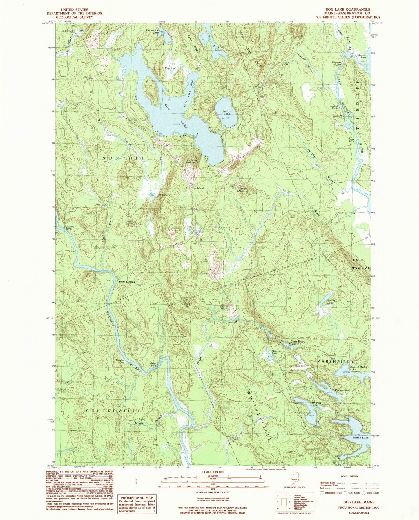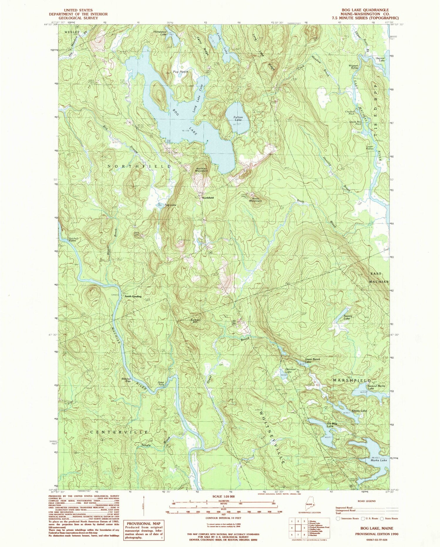
MyTopo
Classic USGS Bog Lake Maine 7.5'x7.5' Topo Map
Couldn't load pickup availability
Historical USGS topographic quad map of Bog Lake in the state of Maine. Typical map scale is 1:24,000, but may vary for certain years, if available. Print size: 24" x 27"
This quadrangle is in the following counties: Washington.
The map contains contour lines, roads, rivers, towns, and lakes. Printed on high-quality waterproof paper with UV fade-resistant inks, and shipped rolled.
Contains the following named places: Andy Mountain, Bobsled Rips, Bog Lake, Bryant Brook, Carry Ridge, Cook Meadow Brook, Crooked Pitch, Fulton Lake, Getchell Riffles, Great Brook, Great Brook Lake, Great Falls, Harmon Lake, Harmon Mountain, Horseshoe Lake, Huntley Brook, Keeley Lake, Long Lake, Long Lake Cove, Long Lake Ridge, Lower Riffles, Marks Lake, Northfield School, Pug Heath, Pug Lake, Scott Brook, Seavey Lake, Second Marks Lake, Six Mile Lake, Smith Mill Pitch, Sumac Hill, Tangle Brook, Wigwam Riffles, Northfield, Smith Landing, Town of Centerville, Town of Northfield, Marks Lake Dam