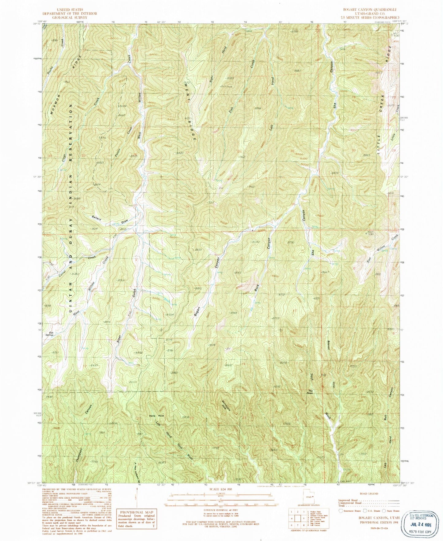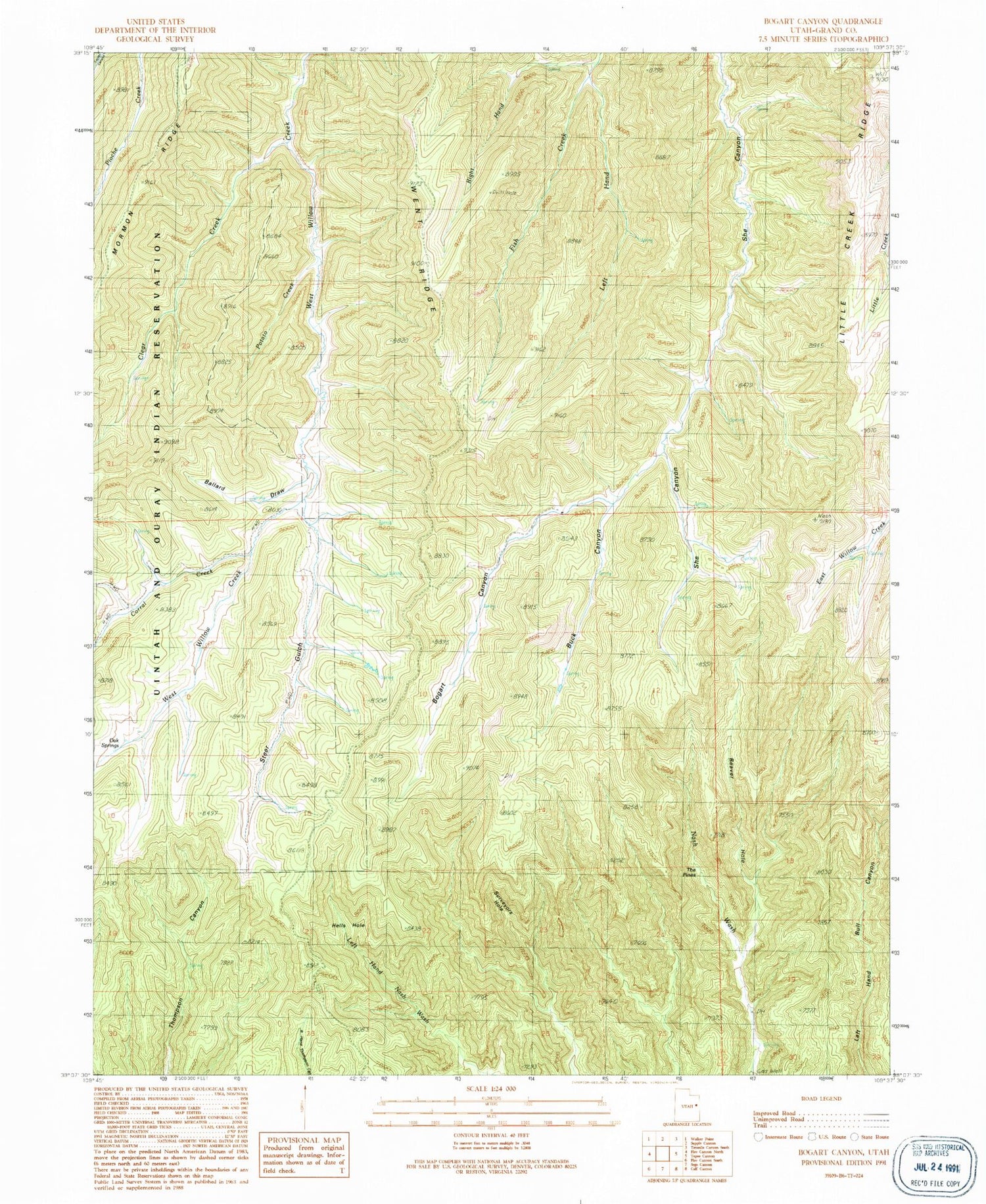
MyTopo
Classic USGS Bogart Canyon Utah 7.5'x7.5' Topo Map
Regular price
$16.95
Regular price
Sale price
$16.95
Unit price
per
Couldn't load pickup availability
Historical USGS topographic quad map of Bogart Canyon in the state of Utah. Typical map scale is 1:24,000, but may vary for certain years, if available. Print size: 24" x 27"
This quadrangle is in the following counties: Grand.
The map contains contour lines, roads, rivers, towns, and lakes. Printed on high-quality waterproof paper with UV fade-resistant inks, and shipped rolled.
Contains the following named places: Ballard Draw, Beaver Hole, Bogart Canyon, Buck Canyon, Clear Creek, Corral Creek, Hells Hole, Left Hand Fish Creek, Oak Springs, Potato Creek, Right Hand Fish Creek, Steer Gulch, Surveyors Hole, The Pines