MyTopo
Classic USGS Boggy Lake Texas 7.5'x7.5' Topo Map
Regular price
$16.95
Regular price
Sale price
$16.95
Unit price
per
Couldn't load pickup availability
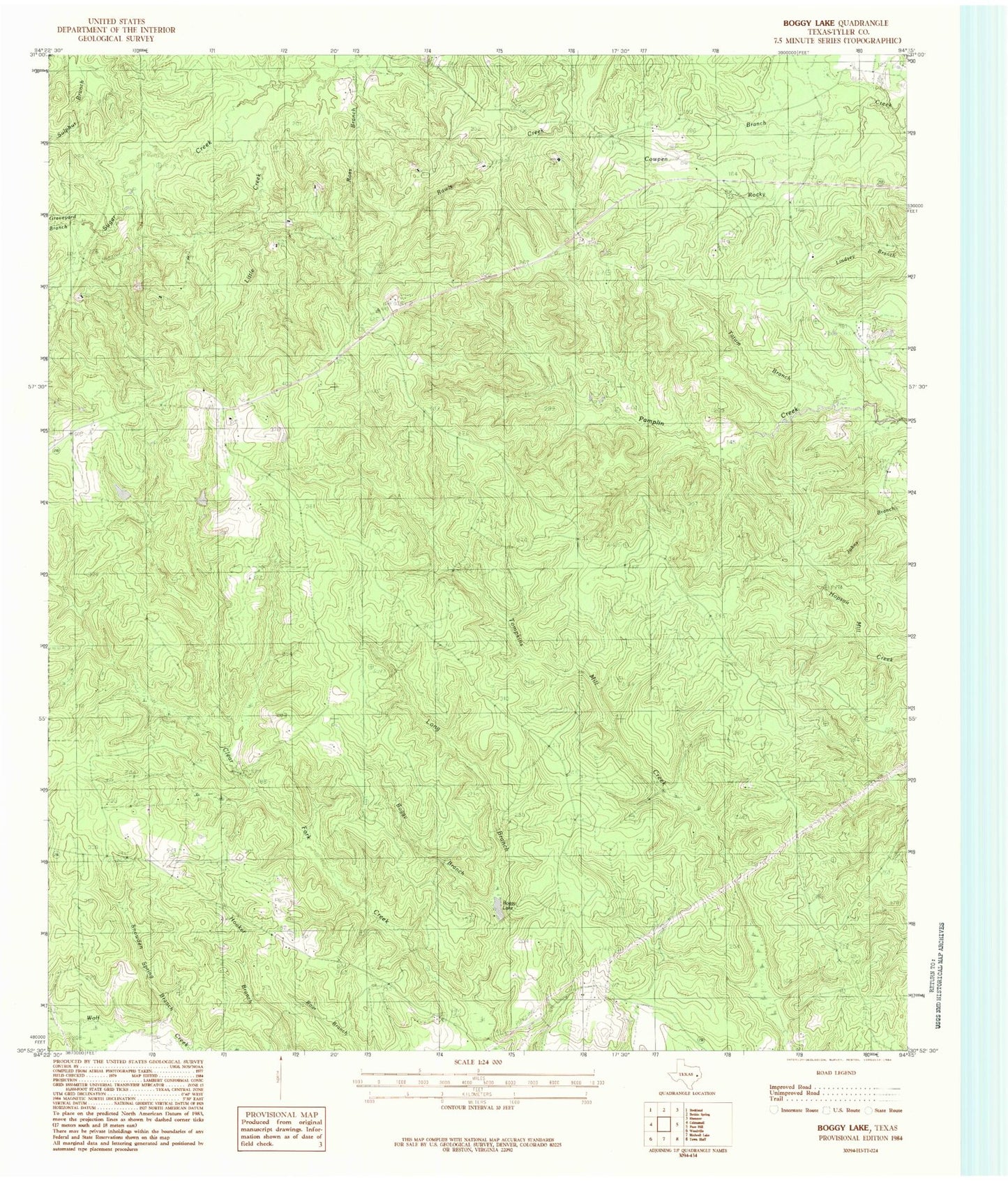
Historical USGS topographic quad map of Boggy Lake in the state of Texas. Map scale is 1:24000. Print size is approximately 24" x 27"
This quadrangle is in the following counties: Tyler.
The map contains contour lines, roads, rivers, towns, and lakes. Printed on high-quality waterproof paper with UV fade-resistant inks, and shipped rolled.
Contains the following named places: Bean Creek, Boggy Branch, Cowpen Branch, Davis Cemetery, Graveyard Branch, Gregory Cemetery, Grimes Cemetery, Holly Fork Church, Little Creek, Long Branch, Mount Carmel Church, Oak Grove Church, Ross Branch, Smith Ferry Lookout Tower, Snowden Spring Branch, Tatum Branch