MyTopo
Classic USGS Bogus Mountain California 7.5'x7.5' Topo Map
Couldn't load pickup availability
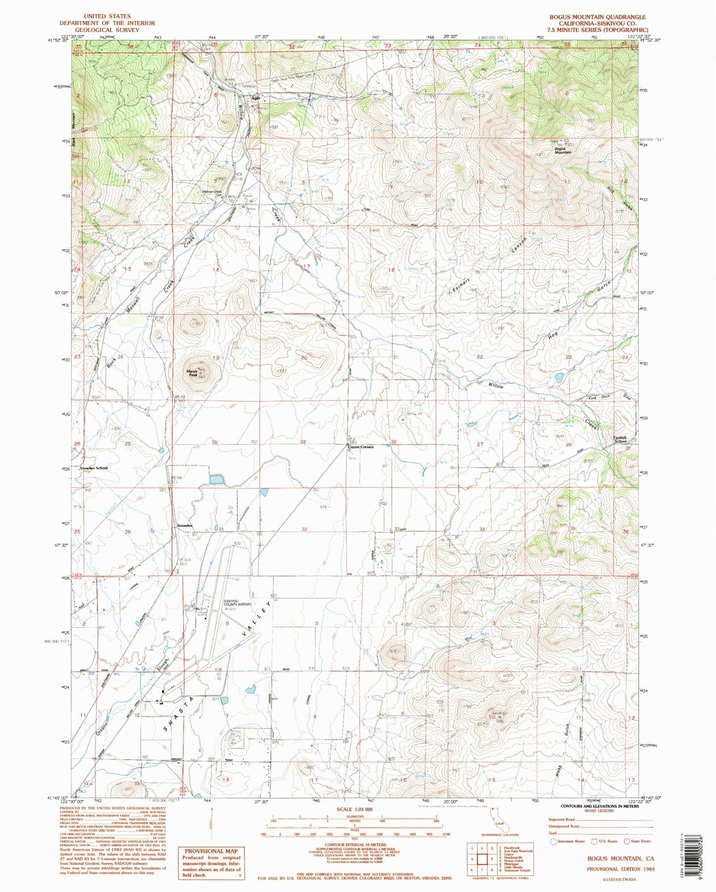
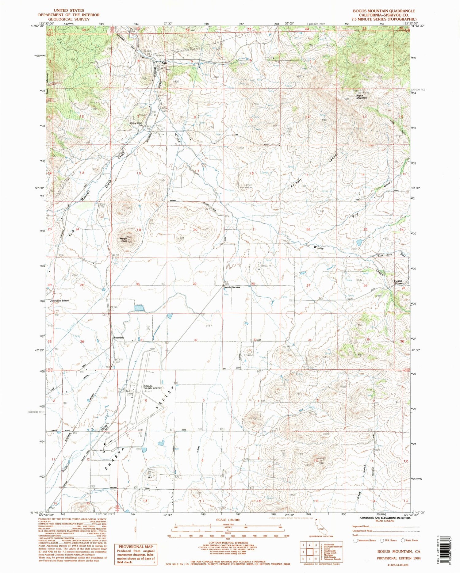
Historical USGS topographic quad map of Bogus Mountain in the state of California. Map scale may vary for some years, but is generally around 1:24,000. Print size is approximately 24" x 27"
This quadrangle is in the following counties: Siskiyou.
The map contains contour lines, roads, rivers, towns, and lakes. Printed on high-quality waterproof paper with UV fade-resistant inks, and shipped rolled.
Contains the following named places: Ager, Bogus Mountain, Buckley, Coyote Corners, Earhart Canyon, Foothill School, Fords Gulch, Halter, Hog Gulch, Kuck, Kuck Ditch Draw, Logan, Marys Peak, Maxwell Creek, Rock Creek, Shasta Valley, Siskiyou County Airport, Snowden, Snowden School, Sylva, TY G Ranch, Willow Creek Elementary School, Yonce, York