MyTopo
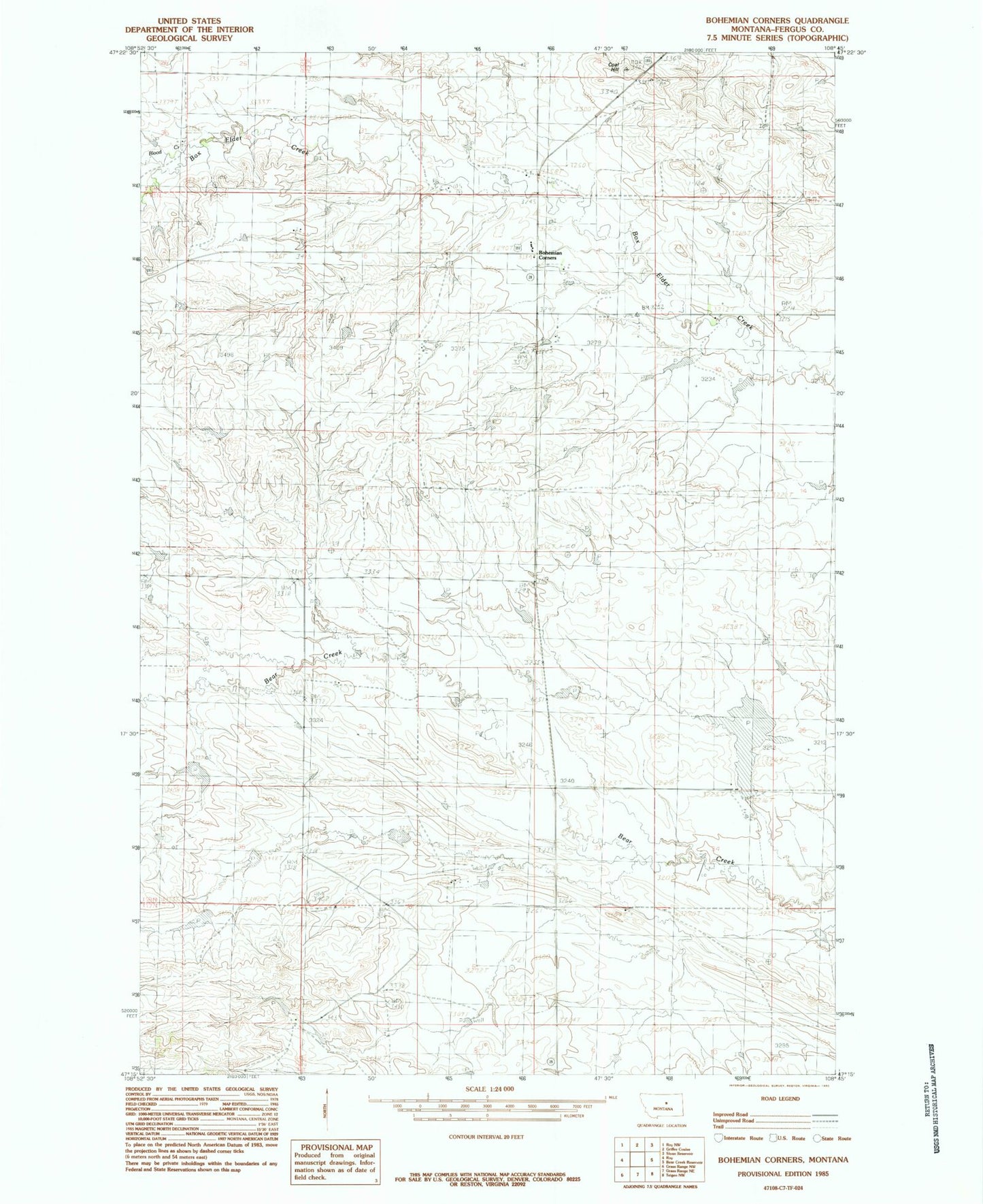
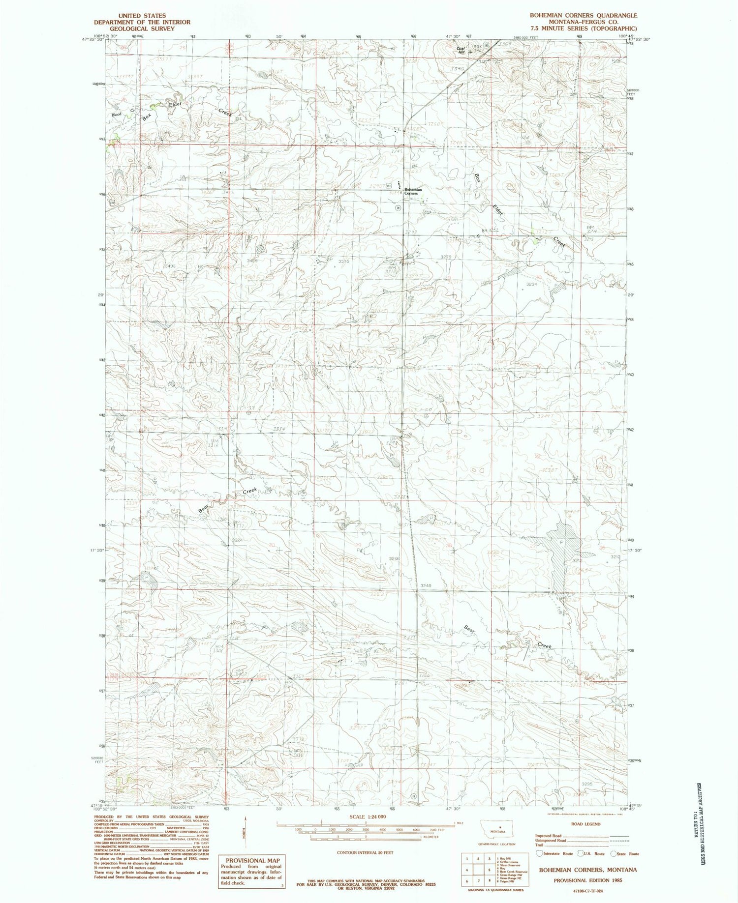
Classic USGS Bohemian Corners Montana 7.5'x7.5' Topo Map
Couldn't load pickup availability
Historical USGS topographic quad map of Bohemian Corners in the state of Montana. Map scale may vary for some years, but is generally around 1:24,000. Print size is approximately 24" x 27"
This quadrangle is in the following counties: Fergus.
The map contains contour lines, roads, rivers, towns, and lakes. Printed on high-quality waterproof paper with UV fade-resistant inks, and shipped rolled.
Contains the following named places: 06N23E02DABD01 Well, 17N23E06ACA_01 Well, 18N22E01AAC_01 Well, 18N22E01AD__01 Well, 18N23E10ABA_01 Well, Auburn Post Office, Bohemian Corner School, Bohemian Corners, Boulevard School, Butte View School, Christensen School, Coal Hill, Helluva Dam, Iowa Bench School, Kindle Number 2 Dam, L Adams Dam, Lindstrom Post Office, State Bear Dam