MyTopo
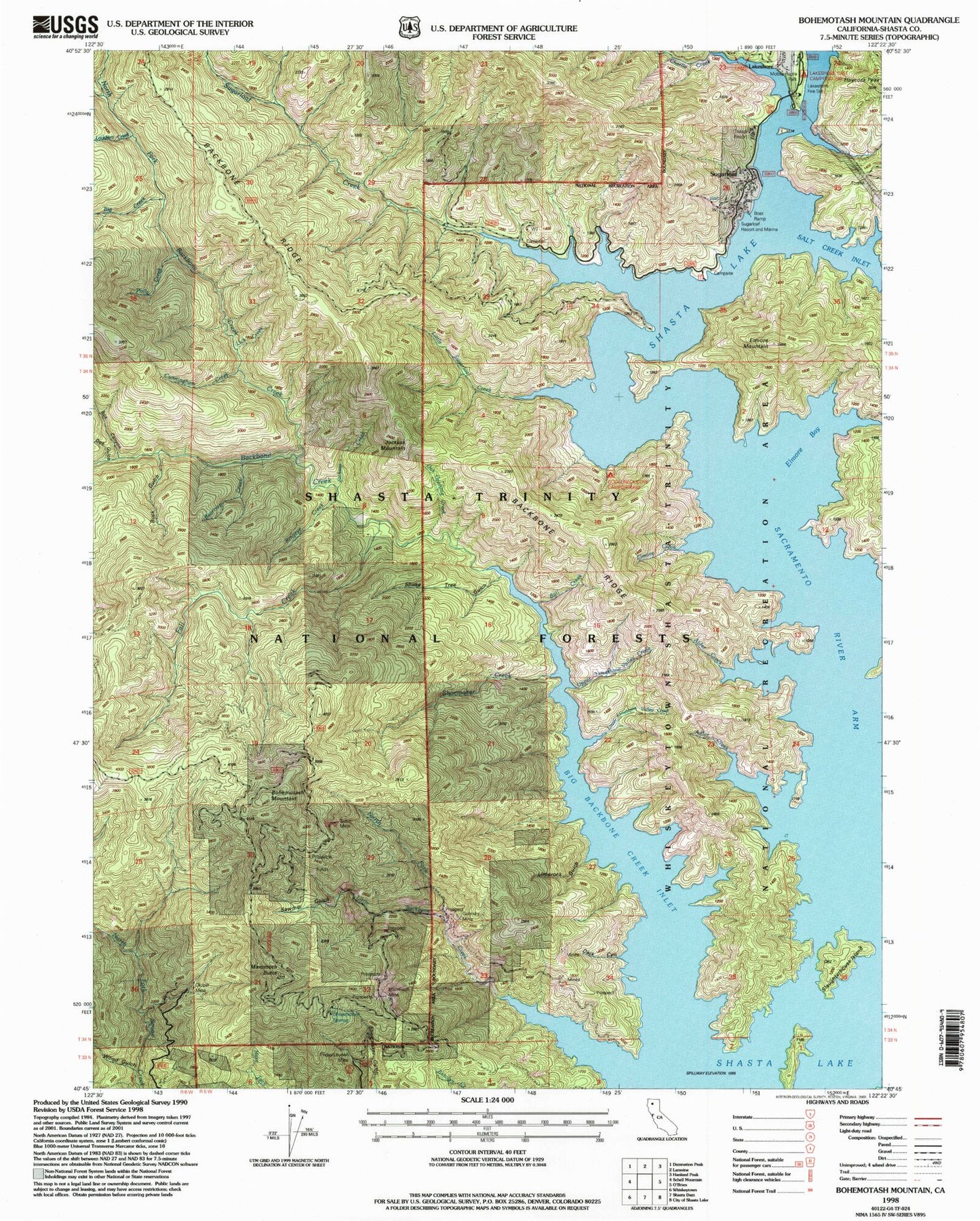
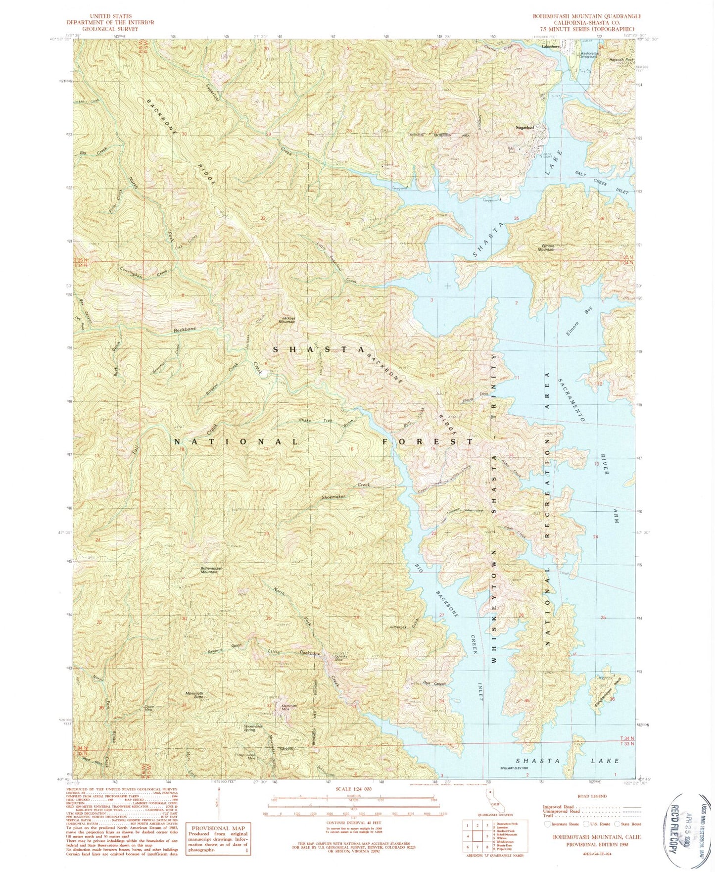
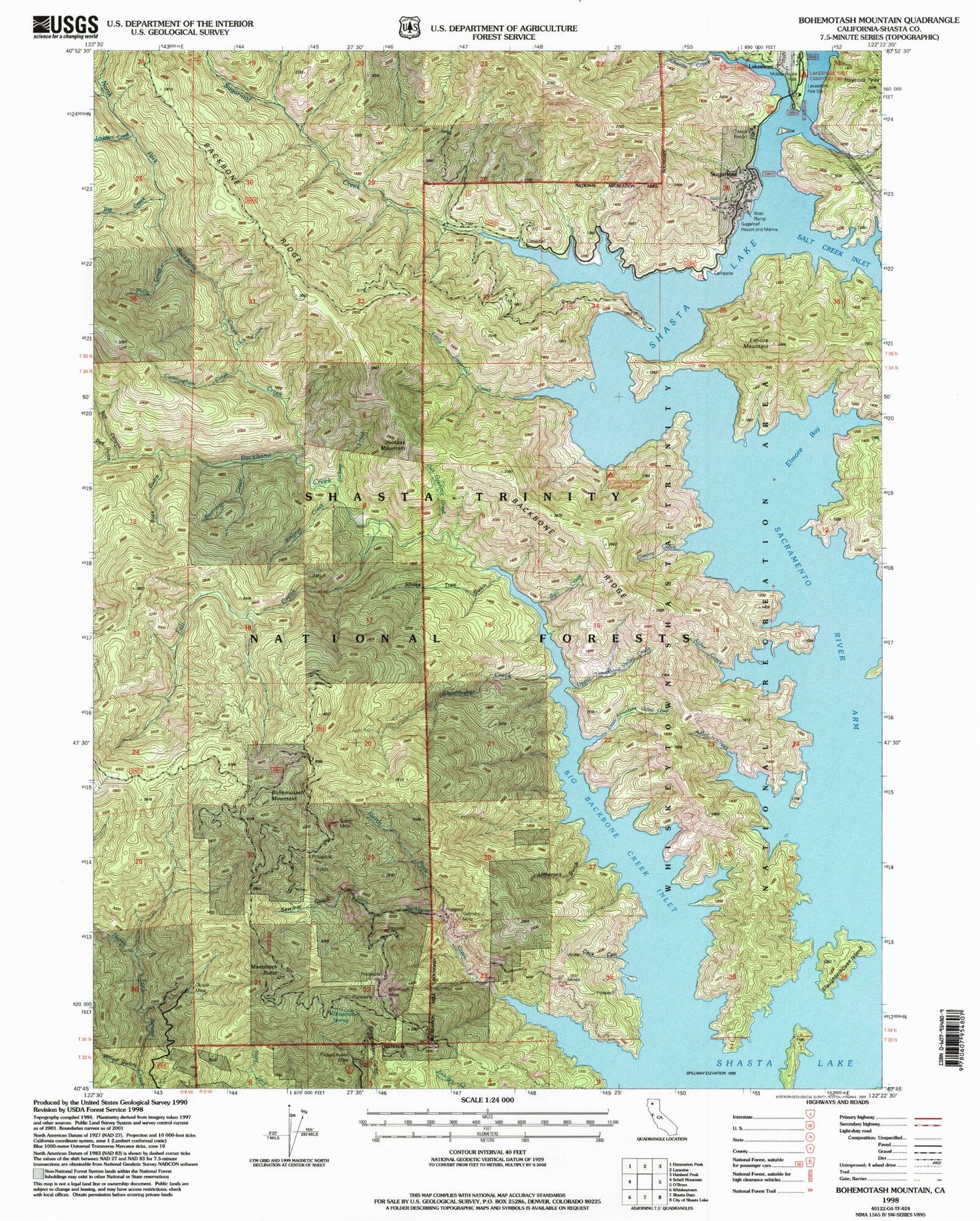
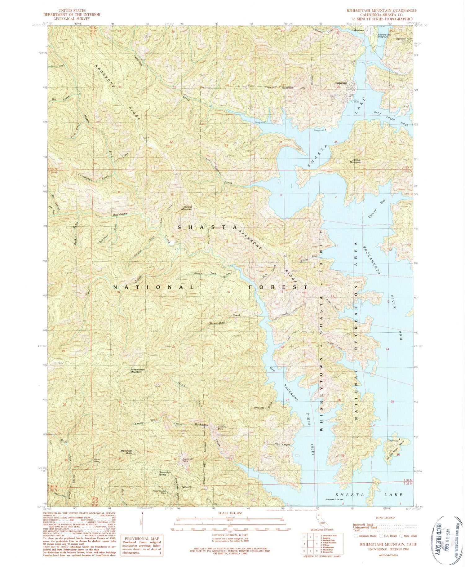
Classic USGS Bohemotash Mountain California 7.5'x7.5' Topo Map
Couldn't load pickup availability
Historical USGS topographic quad map of Bohemotash Mountain in the state of California. Map scale may vary for some years, but is generally around 1:24,000. Print size is approximately 24" x 27"
This quadrangle is in the following counties: Shasta.
The map contains contour lines, roads, rivers, towns, and lakes. Printed on high-quality waterproof paper with UV fade-resistant inks, and shipped rolled.
Contains the following named places: Adler Creek, Alder Creek, Backbone Creek, Beartrap Creek, Beehive Campground, Big Backbone Creek Inlet, Big Creek, Bohemotash Mountain, Box Canyon, Buck Gulch, Bull Creek, Charlie Creek, Clipper Mine, Cunningham Creek, Dark Canyon, Doe Gulch, Elmore, Elmore Bay, Elmore Creek, Elmore Mountain, Fall Creek, Friday-Louden Mine, Golinsky Mine, Gooseneck Cove Campground, Haycock Peak, Jackass Creek, Jackass Mountain, Lakeshore Campground, Lakeshore East Campground, Lakeshore Fire Control Station, Lick Creek, Limerock Gulch, Little Backbone Creek, Little Sugarloaf Creek, Lockhart Creek, Lower Limestone Valley Creek, Mabel, Mammoth Butte, Mammoth Mine, Morley, North Fork Backbone Creek, North Fork Little Backbone Creek, Oak Opening Creek, Old Man Campground, Polly Creek, Ringeye Creek, Sacramento River Arm, Salt Creek, Salt Creek Point Campground, Sawmill Gulch, Shake Tree Gulch, Shoemaker Gulch, Shoemaker Spring, Slaughterhouse Island, Slaughterhouse Island Campground, Sugarloaf, Sugarloaf Creek, Sutro Mine, Tasadi Resort, Upper Limestone Valley Creek, Wood Gulch


