MyTopo
Classic USGS Boise Lake Minnesota 7.5'x7.5' Topo Map
Couldn't load pickup availability
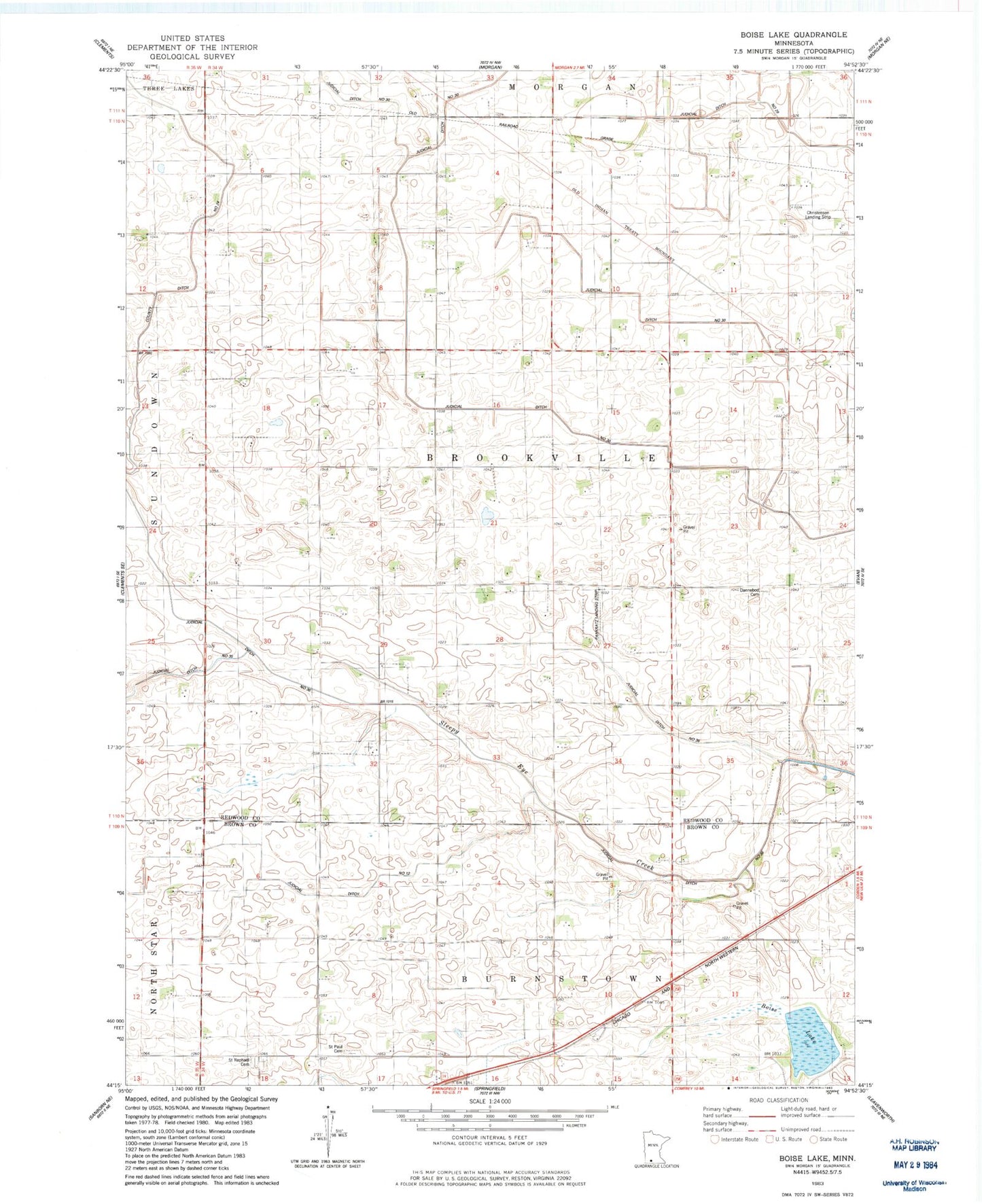
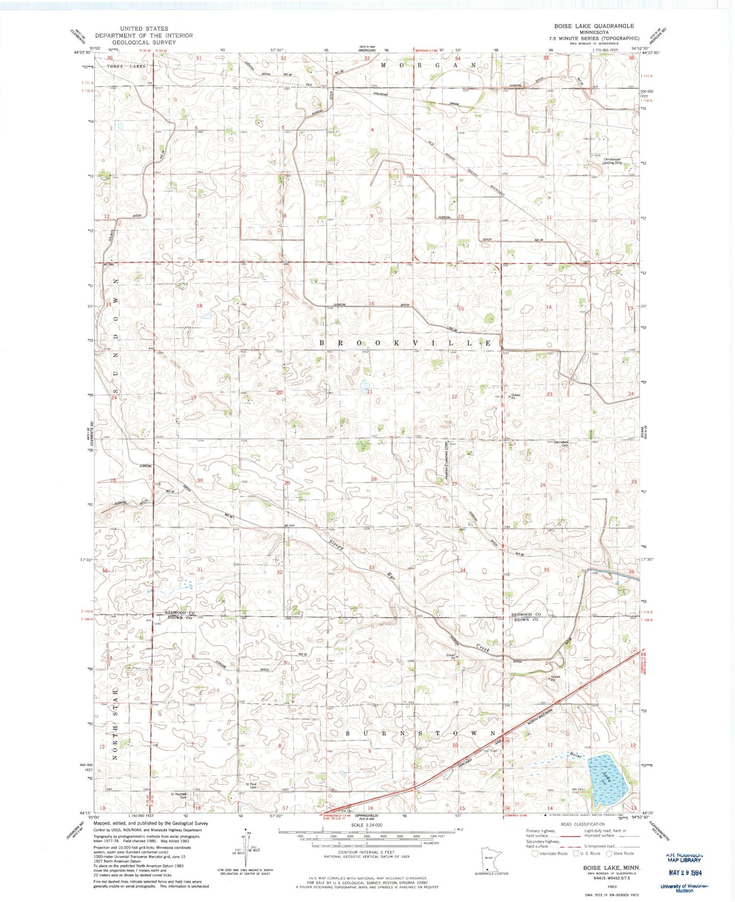
Historical USGS topographic quad map of Boise Lake in the state of Minnesota. Map scale may vary for some years, but is generally around 1:24,000. Print size is approximately 24" x 27"
This quadrangle is in the following counties: Brown, Redwood.
The map contains contour lines, roads, rivers, towns, and lakes. Printed on high-quality waterproof paper with UV fade-resistant inks, and shipped rolled.
Contains the following named places: Boise Lake, Brookville Church, Christensen Landing Strip, Dannebod Cemetery, Gilland Feedlot, Grant School, Hillside School, Judicial Ditch Number Thirtysix, Judicial Ditch Number Twelve, Judicial Ditch Number Twentynine, Pankratz Airport, Saint Paul Cemetery, Saint Rachael Cemetery, Saint Raphael Cemetery, School Number 34, School Number 40, School Number 41, School Number 49, Township of Brookville, Waidelich Farms