MyTopo
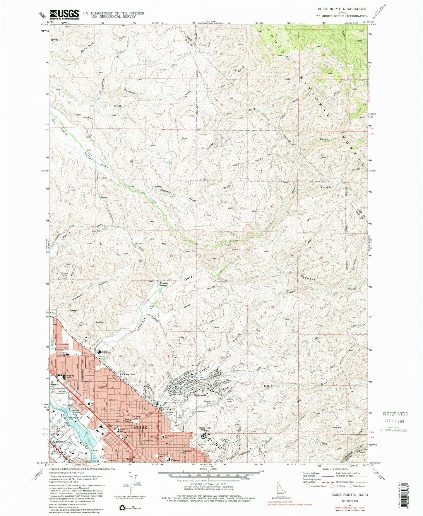
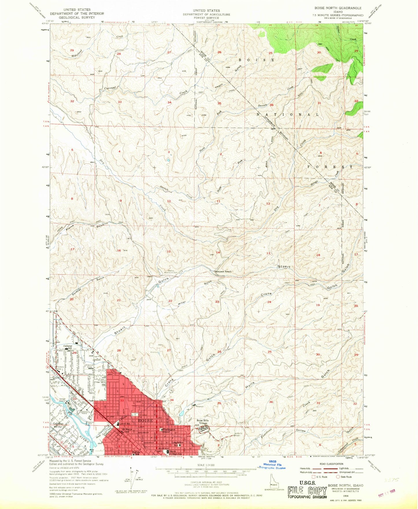
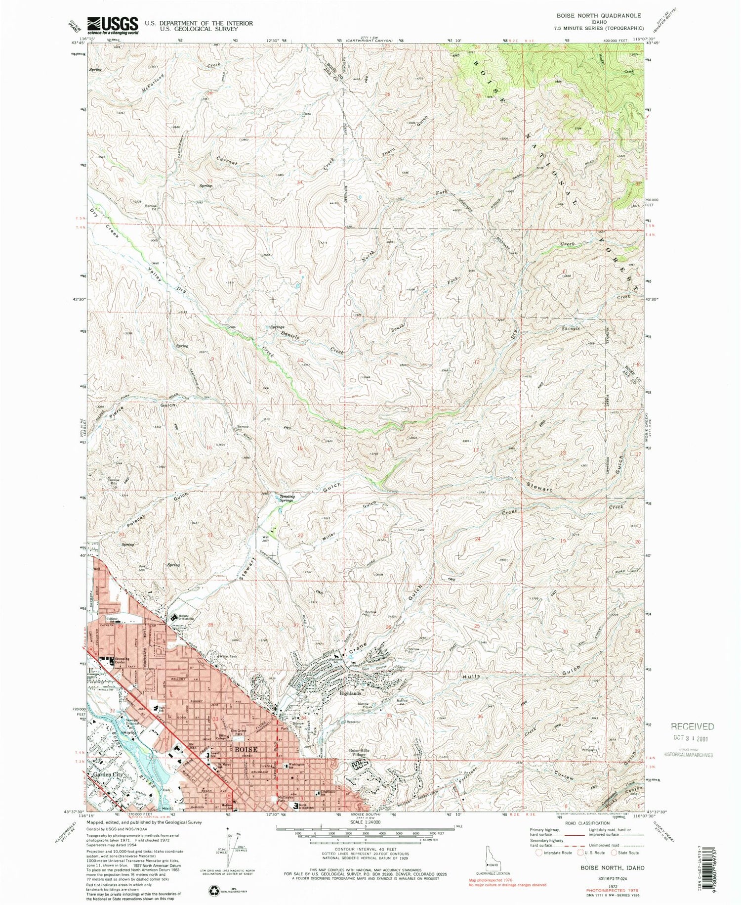
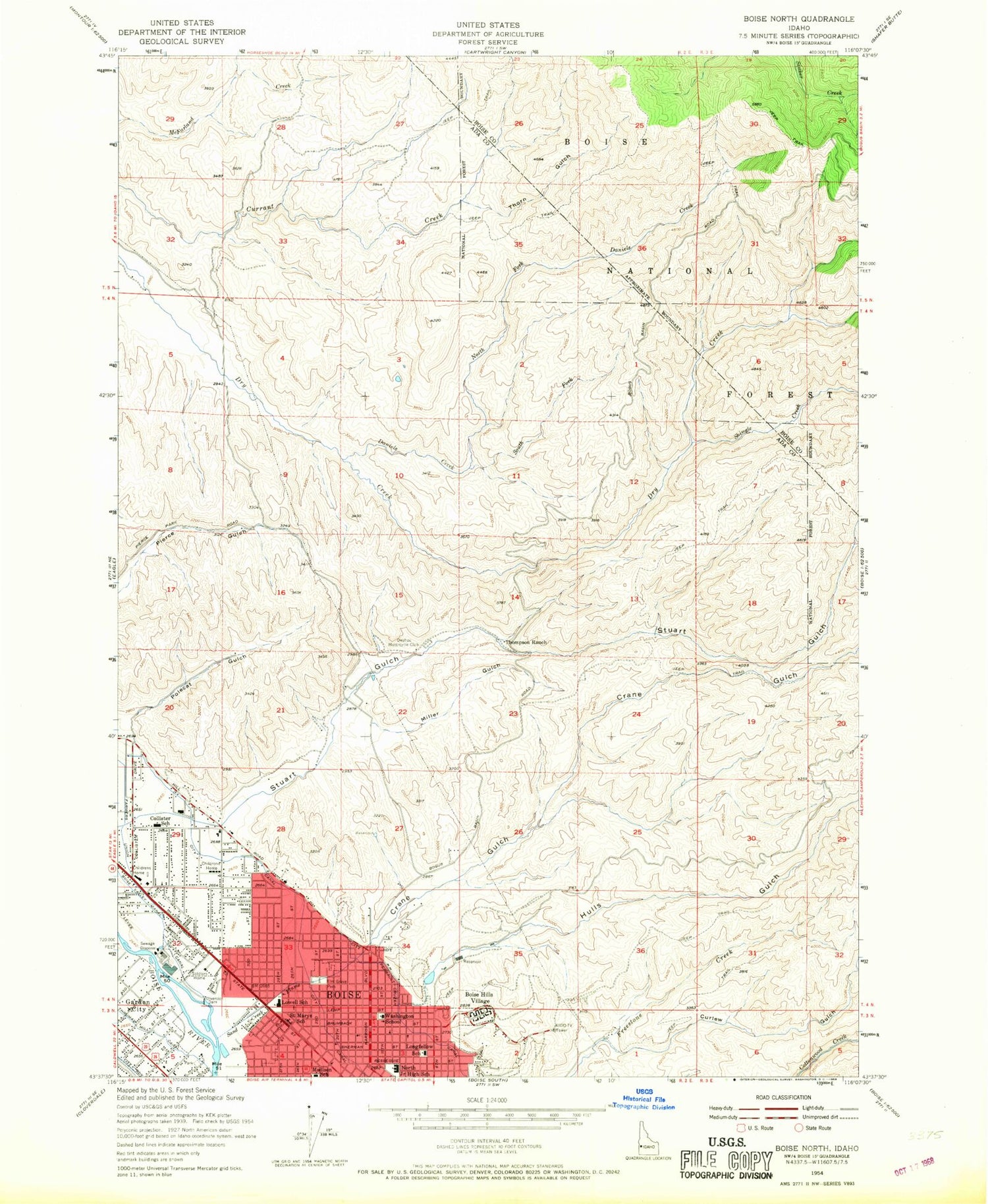
Classic USGS Boise North Idaho 7.5'x7.5' Topo Map
Couldn't load pickup availability
Historical USGS topographic quad map of Boise North in the state of Idaho. Typical map scale is 1:24,000, but may vary for certain years, if available. Print size: 24" x 27"
This quadrangle is in the following counties: Ada, Boise.
The map contains contour lines, roads, rivers, towns, and lakes. Printed on high-quality waterproof paper with UV fade-resistant inks, and shipped rolled.
Contains the following named places: Bible College, Crane Creek, Crane Creek Flume, Crane Gulch, Curlew Gulch, Daniels Creek, Hillside Junior High School, McCauley Park, Miller Gulch, North Fork Daniels Creek, North Junior High School, Polecat Gulch, Saint Marys School, Shingle Creek, South Fork Daniels Creek, Terteling Springs, Hulls Gulch Nature Trail, Collister Shopping Center, Boise Hills Village, Elm Grove Park, Highlands, Idaho Transportation Department and Law Enforcement, Sunset Park, Collister, West State, Veterans Memorial State Park, Camelsback Park, Hulls Gulch, Stewart Gulch, KIDO, Collister Elementary School, Highlands Elementary School, Longfellow Elementary School, Lowell Elementary School, Madison Early Childhood Center, Taft Elementary School, Washington Elementary School, Boise Cascade Heliport, Boise Cascade Lake, Marian Pritchett School, Boise Hills Division, Peaceful Cove Airport, Boise City Fire Department Station 2, Boise City Fire Department Station 9, North Ada County Fire and Rescue Station 2, Ada County Paramedics Medical Station 57, Boise Police Department, Boise Police Department, Collister Post Office


