MyTopo
Classic USGS Bokhoma Oklahoma 7.5'x7.5' Topo Map
Regular price
$16.95
Regular price
Sale price
$16.95
Unit price
per
Couldn't load pickup availability
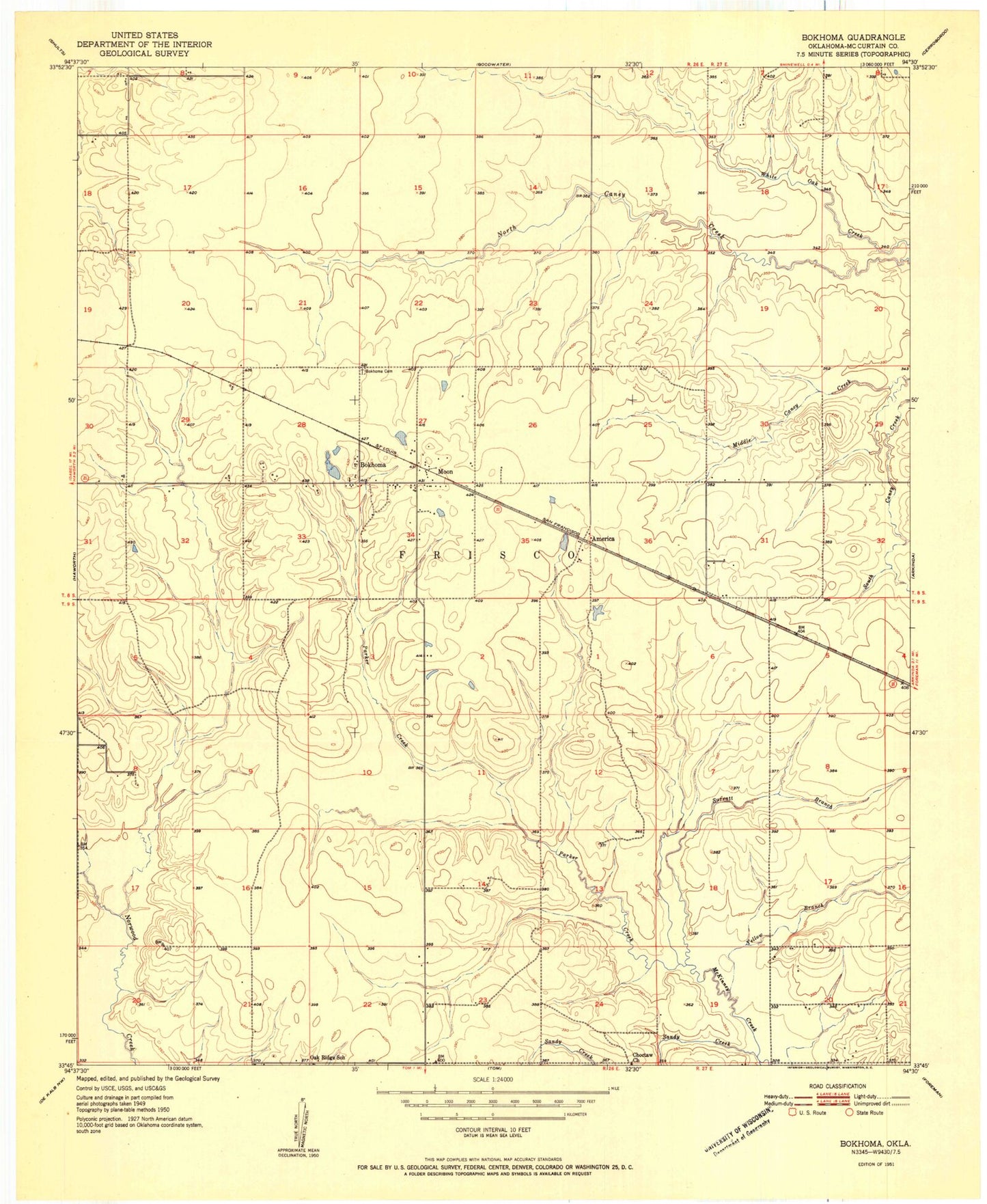
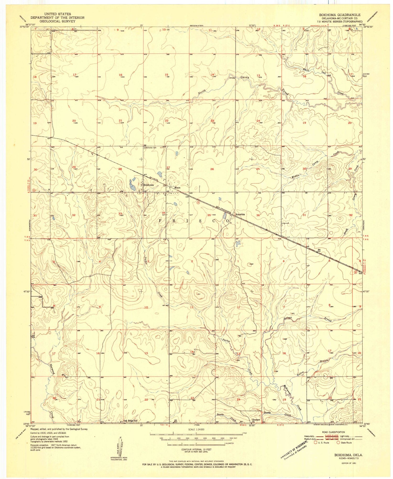
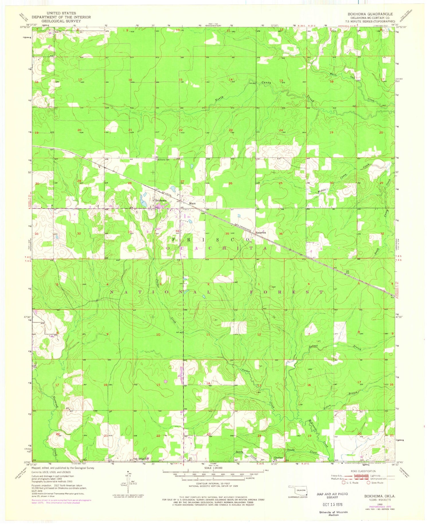
Historical USGS topographic quad map of Bokhoma in the state of Oklahoma. Map scale may vary for some years, but is generally around 1:24,000. Print size is approximately 24" x 27"
This quadrangle is in the following counties: McCurtain.
The map contains contour lines, roads, rivers, towns, and lakes. Printed on high-quality waterproof paper with UV fade-resistant inks, and shipped rolled.
Contains the following named places: America, Bakhoma Recreation Area, Bokhoma, Bokhoma Cemetery, Choctaw Church, Moon, Oak Ridge School, Parker Creek, Sandy Creek, Southeast McCurtain Division, Township of Frisco, ZIP Code: 74740