MyTopo
Classic USGS Bokoshe Oklahoma 7.5'x7.5' Topo Map
Couldn't load pickup availability
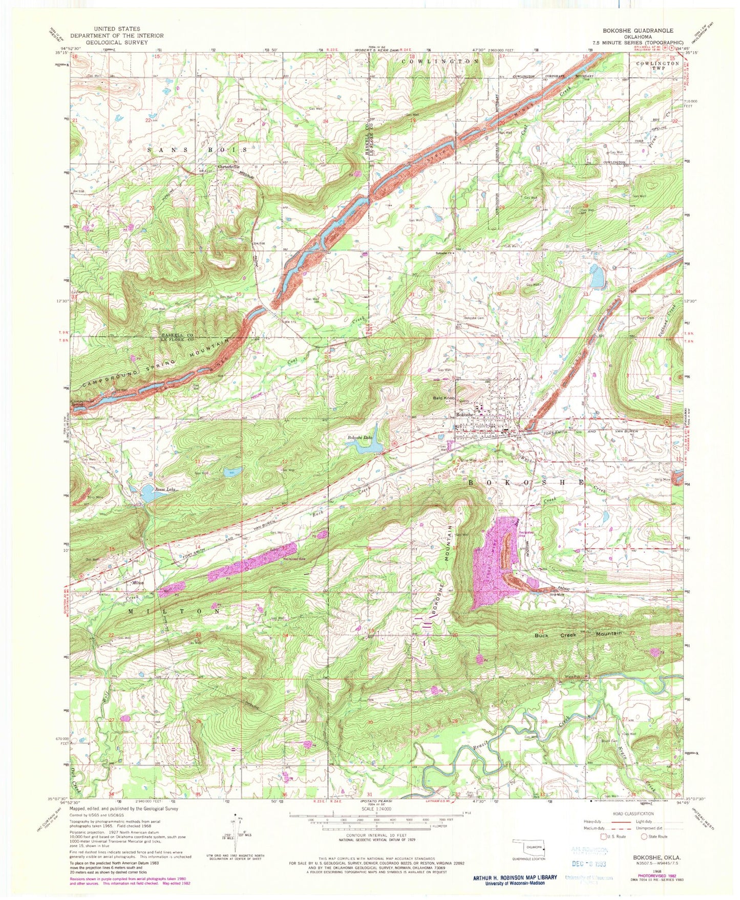
Historical USGS topographic quad map of Bokoshe in the state of Oklahoma. Map scale may vary for some years, but is generally around 1:24,000. Print size is approximately 24" x 27"
This quadrangle is in the following counties: Haskell, Le Flore.
The map contains contour lines, roads, rivers, towns, and lakes. Printed on high-quality waterproof paper with UV fade-resistant inks, and shipped rolled.
Contains the following named places: Bald Knob, Bokoshe, Bokoshe Cemetery, Bokoshe Church, Bokoshe Elementary School, Bokoshe Fire Department, Bokoshe High School, Bokoshe Junior High School, Bokoshe Lake, Bokoshe Lake Dam, Bokoshe Mountain, Bokoshe Police Department, Bokoshe Post Office, Brazil Cemetery, Buck Creek Mountain, Cartersville, Doe Creek, Latham Dog Creek Fire Department, Mack Watson Creek, Milton, Milton Cemetery, Nubbin Ridge, Oknoname 079001 Dam, Oknoname 079001 Reservoir, Panama-Bokoshe Division, Powell Cemetery, Reese Lake, Reese Lake Dam, Sienickie Lake, Sienickie Lake Dam, Town of Bokoshe, Township of Bokoshe, Township of Milton, ZIP Code: 74930