MyTopo
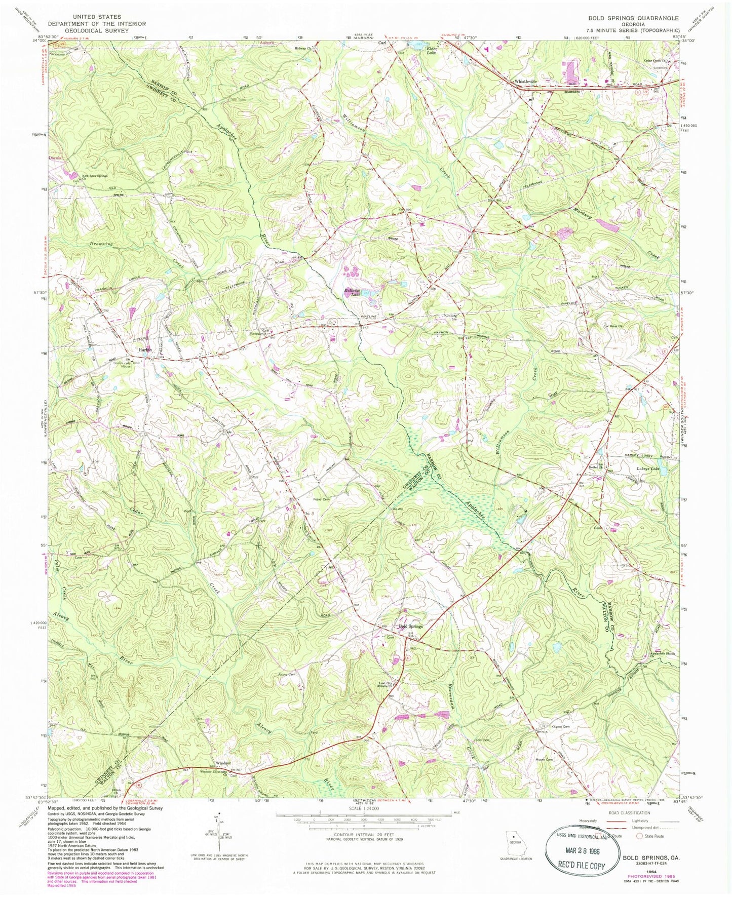
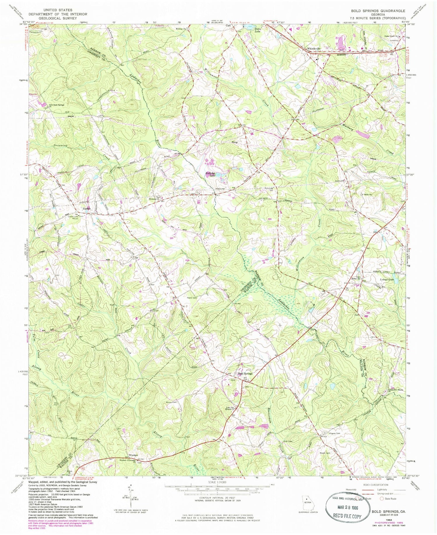
Classic USGS Bold Springs Georgia 7.5'x7.5' Topo Map
Couldn't load pickup availability
Historical USGS topographic quad map of Bold Springs in the state of Georgia. Map scale may vary for some years, but is generally around 1:24,000. Print size is approximately 24" x 27"
This quadrangle is in the following counties: Barrow, Gwinnett, Walton.
The map contains contour lines, roads, rivers, towns, and lakes. Printed on high-quality waterproof paper with UV fade-resistant inks, and shipped rolled.
Contains the following named places: Alcovy Cemetery, Apalachee High School, Apalachee Shoals Church, Bethel Church, Bethel School, Bold Springs, Cedar Creek, Cedar Creek Church, Drowning Creek, Ebenezer Church, Elder Lake, Elder Lake Dam, Gospel Light Church, Gwinnett County Fire and Emergency Services Station 17, Harbin, Harbins Elementary School, Harbins Recreation Center, Haymon - Morris Middle School, Kennedy Elementary School, Kilgore Cemetery, Lokeys Lake, Lokeys Lake Dam, Lost City Miracle Church, Marbury Lake, Marbury Lake Dam, Midway Church, Midway Methodist Cemetery, Moore Cemetery, New Rock Springs Church, Omer Cemetery, Omer Church, Palm Creek, Parker Cemetery, Peavy Cemetery, Rutledge Lake, Rutledge Lake Dam, Shiloh Church, Still Cemetery, Tanners Bridge, Tanners Bridge School, Temple of God, Walton County Fire Rescue Department Station 8, WBPS-FM (Winder), Westside Middle School, Whistleville, Whistleville Christian Church, Whistleville Christian School, Williamson Creek, Windsor, Windsor University Church, Yargo Elementary School, ZIP Code: 30620


