MyTopo
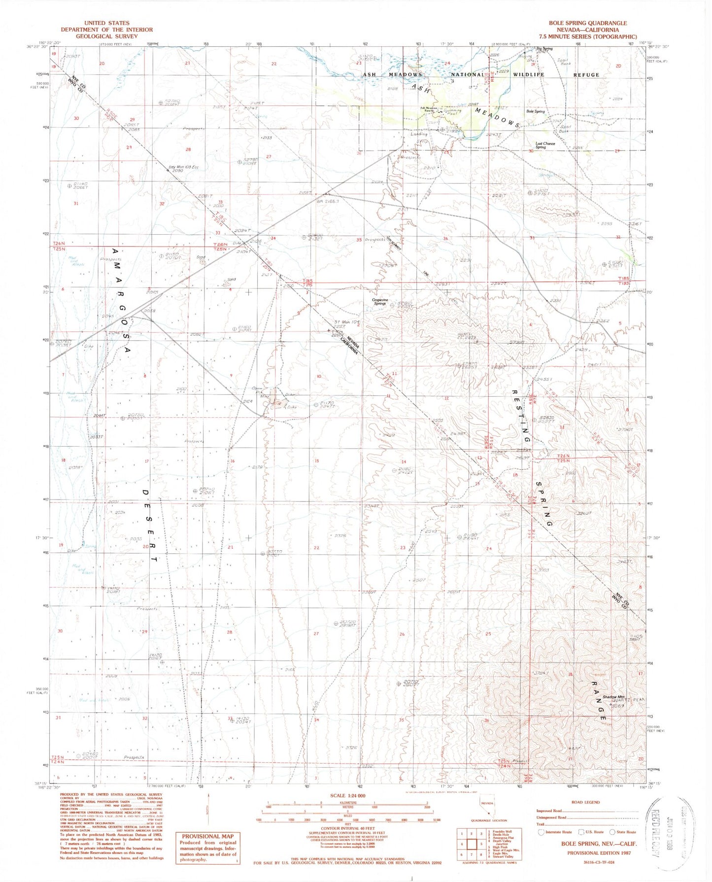
Classic USGS Bole Spring Nevada 7.5'x7.5' Topo Map
Regular price
$16.95
Regular price
Sale price
$16.95
Unit price
per
Couldn't load pickup availability
Historical USGS topographic quad map of Bole Spring in the states of Nevada, California. Map scale may vary for some years, but is generally around 1:24,000. Print size is approximately 24" x 27"
This quadrangle is in the following counties: Inyo, Nye.
The map contains contour lines, roads, rivers, towns, and lakes. Printed on high-quality waterproof paper with UV fade-resistant inks, and shipped rolled.
Contains the following named places: Ash Meadows Airport, Ash Meadows Rancho, Ashmeadow, Big Spring, Bole Spring, Bramer Spring, Death Valley Junction Pit, Grapevine Springs, Last Chance Spring, Shadow Mountain, Tubb Ranch, Winters Holes, Winters Ranch