MyTopo
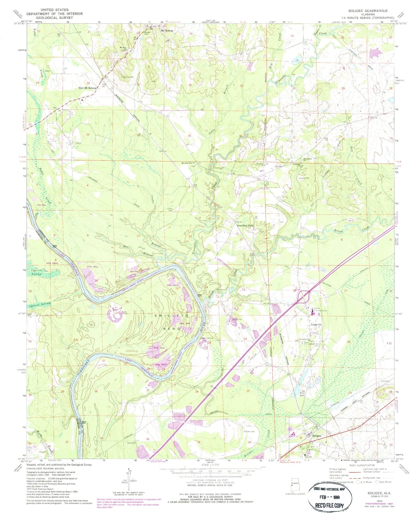
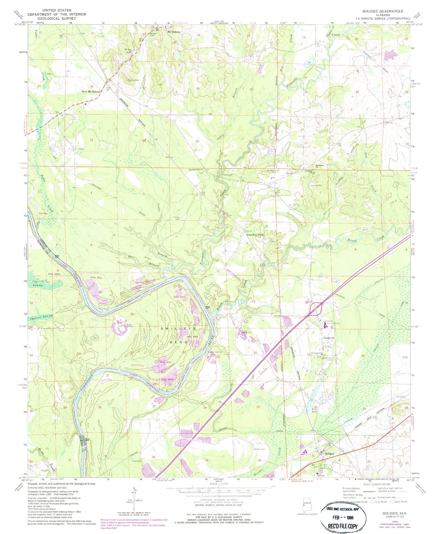
Classic USGS Boligee Alabama 7.5'x7.5' Topo Map
Couldn't load pickup availability
Historical USGS topographic quad map of Boligee in the state of Alabama. Map scale may vary for some years, but is generally around 1:24,000. Print size is approximately 24" x 27"
This quadrangle is in the following counties: Greene, Sumter.
The map contains contour lines, roads, rivers, towns, and lakes. Printed on high-quality waterproof paper with UV fade-resistant inks, and shipped rolled.
Contains the following named places: Bar Branch, Blind Shoals, Blue Lake, Boatright Cemetery, Boligee, Boligee Canal, Boligee Cemetery, Boligee Creek Swamp, Boligee Division, Boligee High School, Boligee Post Office, Boligee Volunteer Fire Department, Browns Artesian Mill, Brush Creek, Brush Creek Bar, Clays Bar, Clays Bluff, Clays Landing, Cobbs Branch, Collins Cemetery, Cooks Branch, Cooks Cemetery, Crawford Cemetery, Crawford Fork, Croft Place, Crossroads of America Industrial Park, Cubbs Creek Shoals, Dry Creek, Friends Bar, Friends Landing, Gladys Landing, Gotes Cemetery, Hill Cemetery, Horseshoe Lake, Howards Bar, Howards Lower Bar, Jack Toms Shoals, King Lake, Kingdom Baptist Church, Kirksey Cemetery, Lizzieville, Macedonia Baptist Church, Macedonia Cemetery, Meeting House Branch, Morgan Cemetery, Morning Star Cemetery, Morning Star Church, Morning Star Missionary Baptist Church, Mount Hebron, Mount Hebron Cemetery, Mount Hebron Church, Mount Hebron School, Mount Olive Baptist Church, Mount Zion Baptist Church, Mount Zion Cemetery, New Mount Hebron, Oak Hill Plantation, Old Factory, Paramount High School, Rogers Creek, Saint Jesus Church, Saint Marks Church, Saint Paul Cemetery, Saint Pauls Baptist Church, Sebastopol Plantation, Solomon Hill, Speed Quarters Cemetery, Swilleys Bend, Swilleys Landing, Toms Bar, Town of Boligee, Trice Lake, Trussel Shoals, Trussells Creek, Trussells Ferry, Trussells Mills, Trussels Landing, Tubbs Creek, Turkey Roost, Union Church, ZIP Code: 35443


