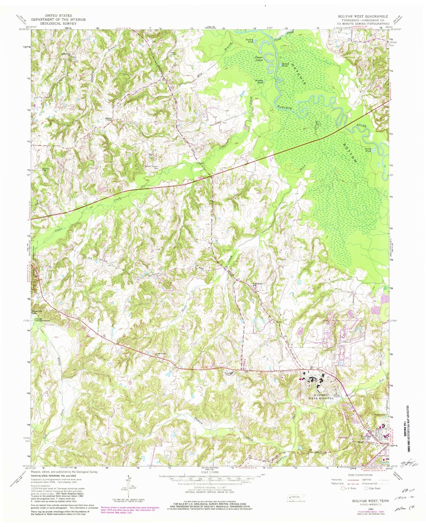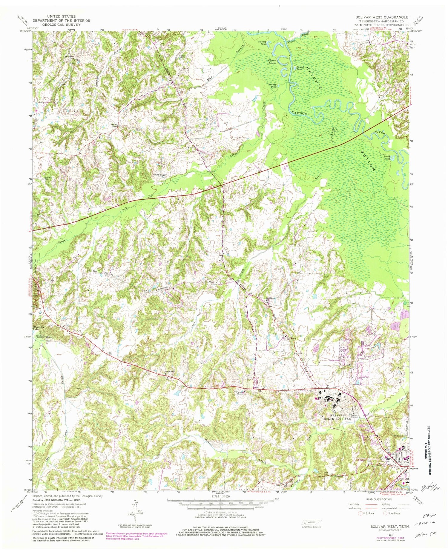
MyTopo
Classic USGS Bolivar West Tennessee 7.5'x7.5' Topo Map
Couldn't load pickup availability
Historical USGS topographic quad map of Bolivar West in the state of Tennessee. Map scale may vary for some years, but is generally around 1:24,000. Print size is approximately 24" x 27"
This quadrangle is in the following counties: Hardeman.
The map contains contour lines, roads, rivers, towns, and lakes. Printed on high-quality waterproof paper with UV fade-resistant inks, and shipped rolled.
Contains the following named places: Bartlett Chapel, Bartlett Chapel Cemetery, Bethelehem Baptist Church, Bethlehem Church, Bethlehem School, Bolivar Church of Christ, Bolivar Elementary School, Bolivar Junior High School, Brushy Pond, Central High School, City of Bolivar, Clear Creek, Clover Creek, Clover Lakes, Commissioner District 1, Green Grove Church, Green Grove School, Hardeman County Golf Course, Hardeman County Landfill, Norment Cemetery, Nuckolls Cemetery, Oak Dain Creek, Parker Cemetery, Parrans Chapel, Pirtle Pond, Potters Creek, Round Pond, Saint Marys Catholic Church, Short Creek, Turkey Pond, Western Mental Health Institute