MyTopo
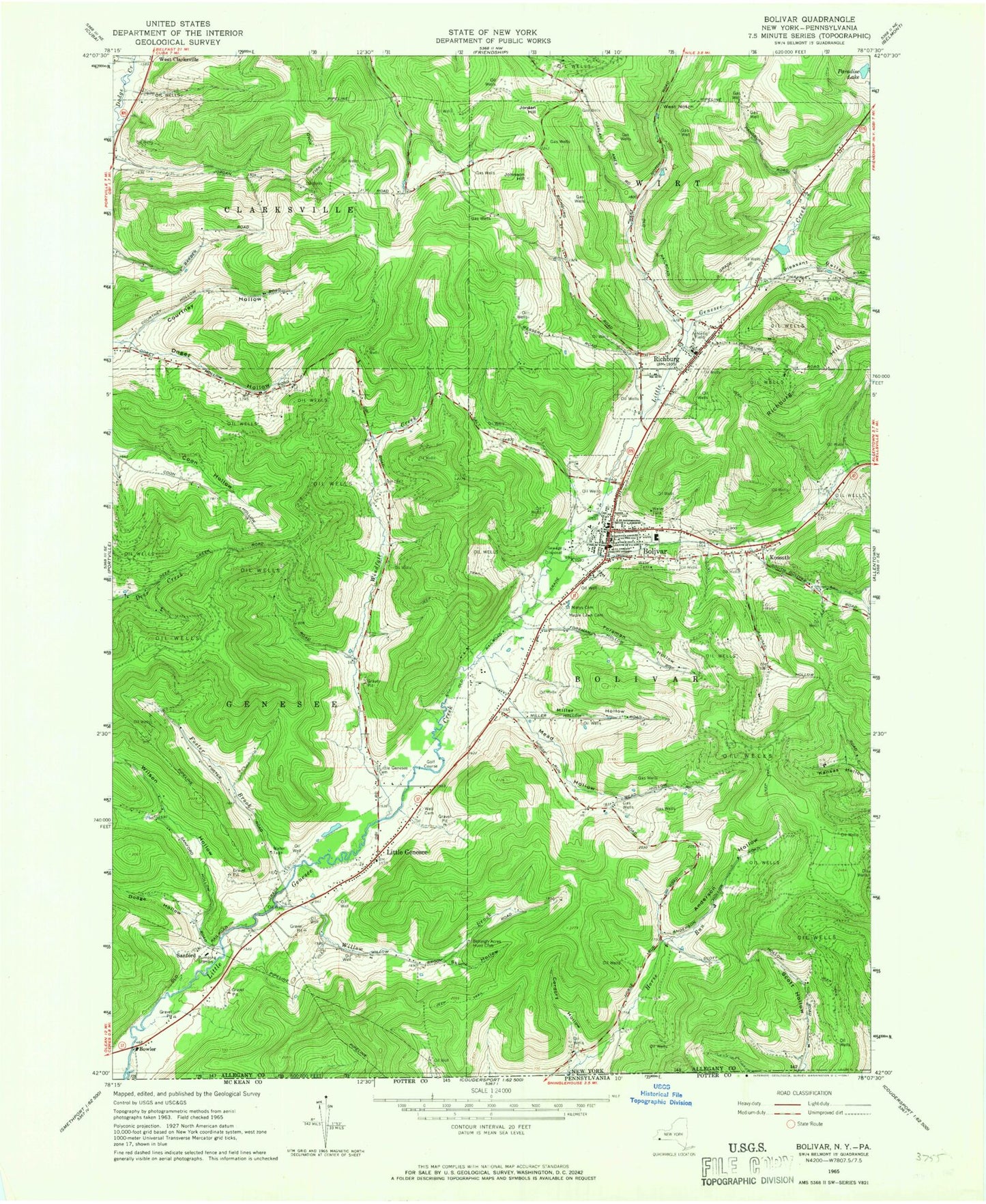
Classic USGS Bolivar New York 7.5'x7.5' Topo Map
Couldn't load pickup availability
Historical USGS topographic quad map of Bolivar in the state of New York. Map scale may vary for some years, but is generally around 1:24,000. Print size is approximately 24" x 27"
This quadrangle is in the following counties: Allegany, Potter.
The map contains contour lines, roads, rivers, towns, and lakes. Printed on high-quality waterproof paper with UV fade-resistant inks, and shipped rolled.
Contains the following named places: Anderson Hollow, Belleigh Acres Hunt Club, Bolivar, Bolivar - Richburg Elementary School, Bolivar - Richburg Junior - Senior High School, Bolivar Fire Department, Bolivar Free Library, Bolivar Post Office, Bolivar United Methodist Church, Bowler, Colonial Library, Cordory Hollow, Cottrell School, Courtney Hollow, Dodge Hollow, Eastman School, Evergreen Golf Course, Foreman Hollow, Foster Brook, Genesee Public Library, Johnson Hill, Jordan Hill, Kossuth, Kossuth Community Chapel, Little Genesee, Little Genesee Cemetery, Little Genesee Post Office, Maple Lawn Cemetery, Mead Hollow, Miller Hollow, Paradise Lake, Pine Grove School, Pleasant Valley, Richburg, Richburg Cemetery, Richburg Hill, Richburg Post Office, Richburg Volunteer Fire Company, Saint Marys Cemetery, Sanford, School Number 13, School Number 2, School Number 3, Scott Hollow School, Seventh Day Baptist Church, Skunk Hollow, Southside Union Chapel, Town of Bolivar, Town of Genesee, Village of Bolivar, Village of Richburg, WCID-FM (Friendship), Wells Cemetery, West Notch, Willow Brook, Wilson Hollow, Windfall Creek, ZIP Codes: 14715, 14754, 14774


