MyTopo
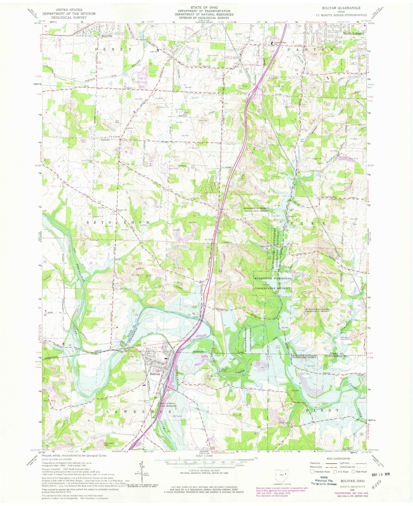
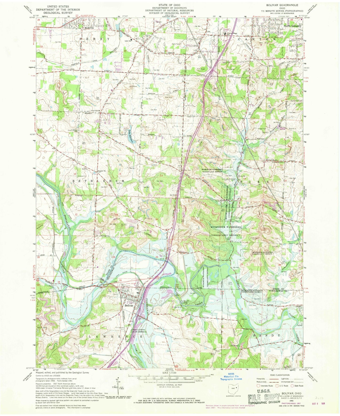
Classic USGS Bolivar Ohio 7.5'x7.5' Topo Map
Couldn't load pickup availability
Historical USGS topographic quad map of Bolivar in the state of Ohio. Map scale may vary for some years, but is generally around 1:24,000. Print size is approximately 24" x 27"
This quadrangle is in the following counties: Stark, Tuscarawas.
The map contains contour lines, roads, rivers, towns, and lakes. Printed on high-quality waterproof paper with UV fade-resistant inks, and shipped rolled.
Contains the following named places: Anstine Vogley Orchard, Barto School, Battlesburg Cemetery, Beal Run, Bear Run, Bixler, Bolivar, Bolivar Dam, Bolivar Elementary School, Bolivar Lake, Bolivar Police Department, Bolivar Post Office, Bolivar United Methodist Church, Bolivar Volunteer Fire Department, Briggs Airport, Camp Zion Church, Canton Mobile Homes, Church of God Cemetery, Countywide Recycling and Disposal Facility, East Sparta Volunteer Fire Department Station 2, Eden Cemetery, Eden Church, Faircrest Memorial Middle School, Five Point Church, Fohl Village, Fort Laurens, Fort Laurens Cemetery, Fort Laurens State Memorial, Gerber Cemetery, Grove Cemetery, Grove Church, Guest School, Henline Cemetery, Knights Crossing, Lake Andreadis, Lake Sherman, Lake Sherman Village, Lawrenceville, Limestone Creek, Little Brick School, Lohr School, Mount Hope School, Mount Pleasant School, North Industry Sportsmans Club Dam, North Industry Sportsmans Club Lake, North Industry Sportsmen Club, Oak Grove School, Prairie College Elementary School, Richville Station, Saint John United Church of Christ, Saint Pauls Evangelical Lutheran Church, Saint Stephens Cemetery, Salem Church, Sandy Creek, Scheipler School, Shepler Cemetery, Shepler Church, Sherman Cemetery, Siffert Cemetery, Springwood Lake Camp, Studer Creek, Sulphur Run, Township of Bethlehem, Village of Bolivar, WHBC-AM (Canton), Wilkshire Golf Course, Wilkshire Hills, Wilkshire Hills Census Designated Place, Zion Cemetery, Zutavern Cemetery, ZIP Codes: 44612, 44626


