MyTopo
Classic USGS Bolivia North Carolina 7.5'x7.5' Topo Map
Couldn't load pickup availability
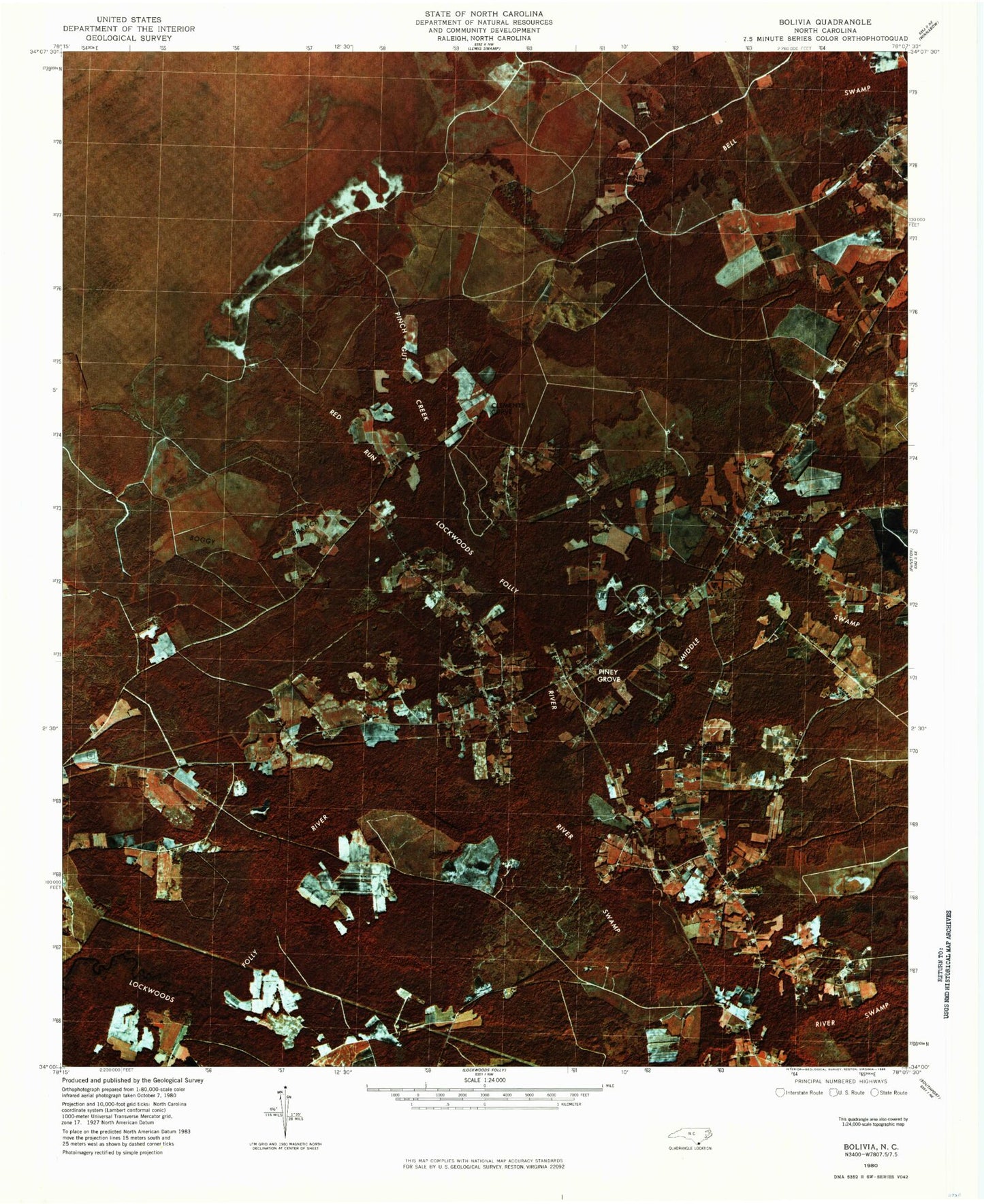
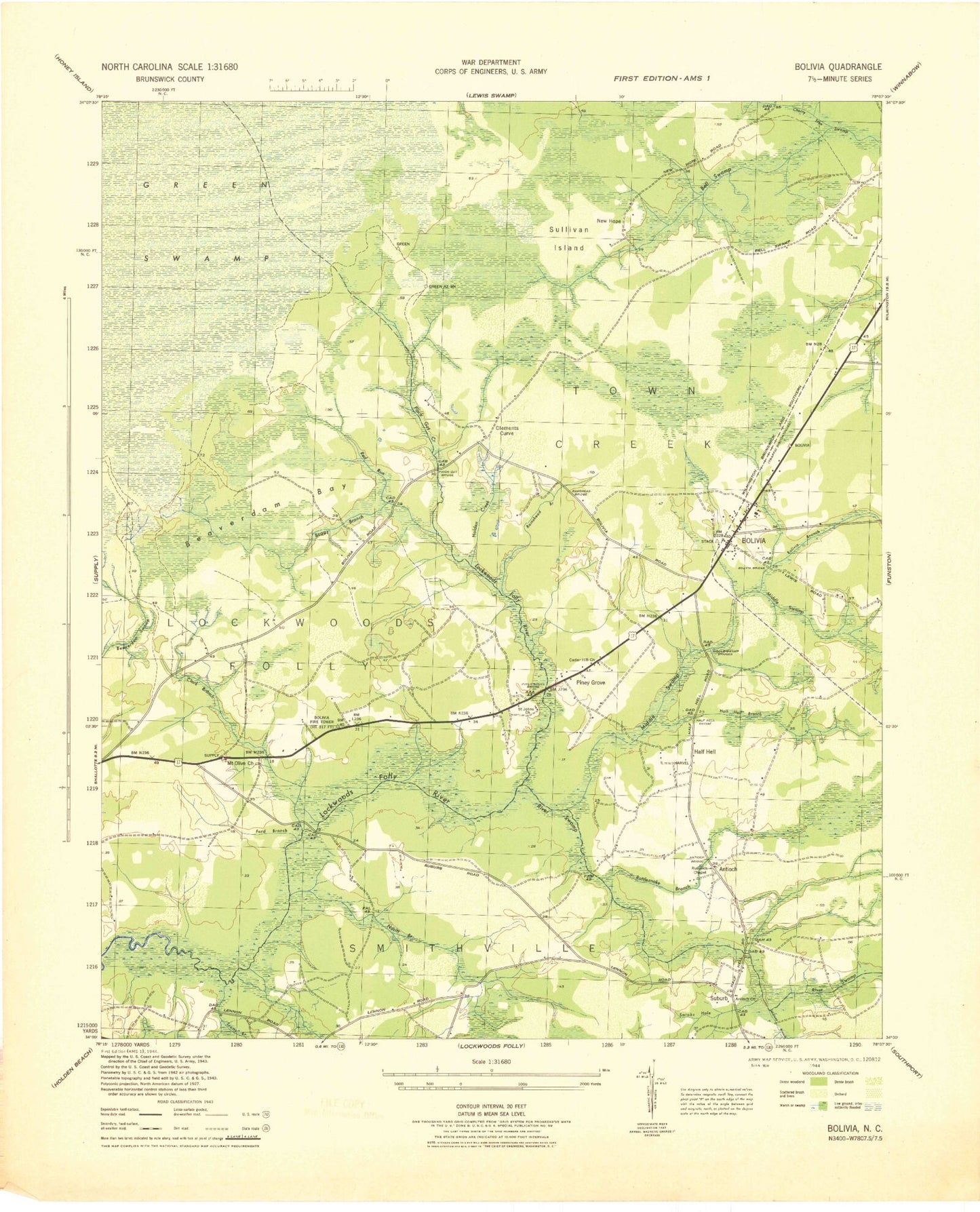
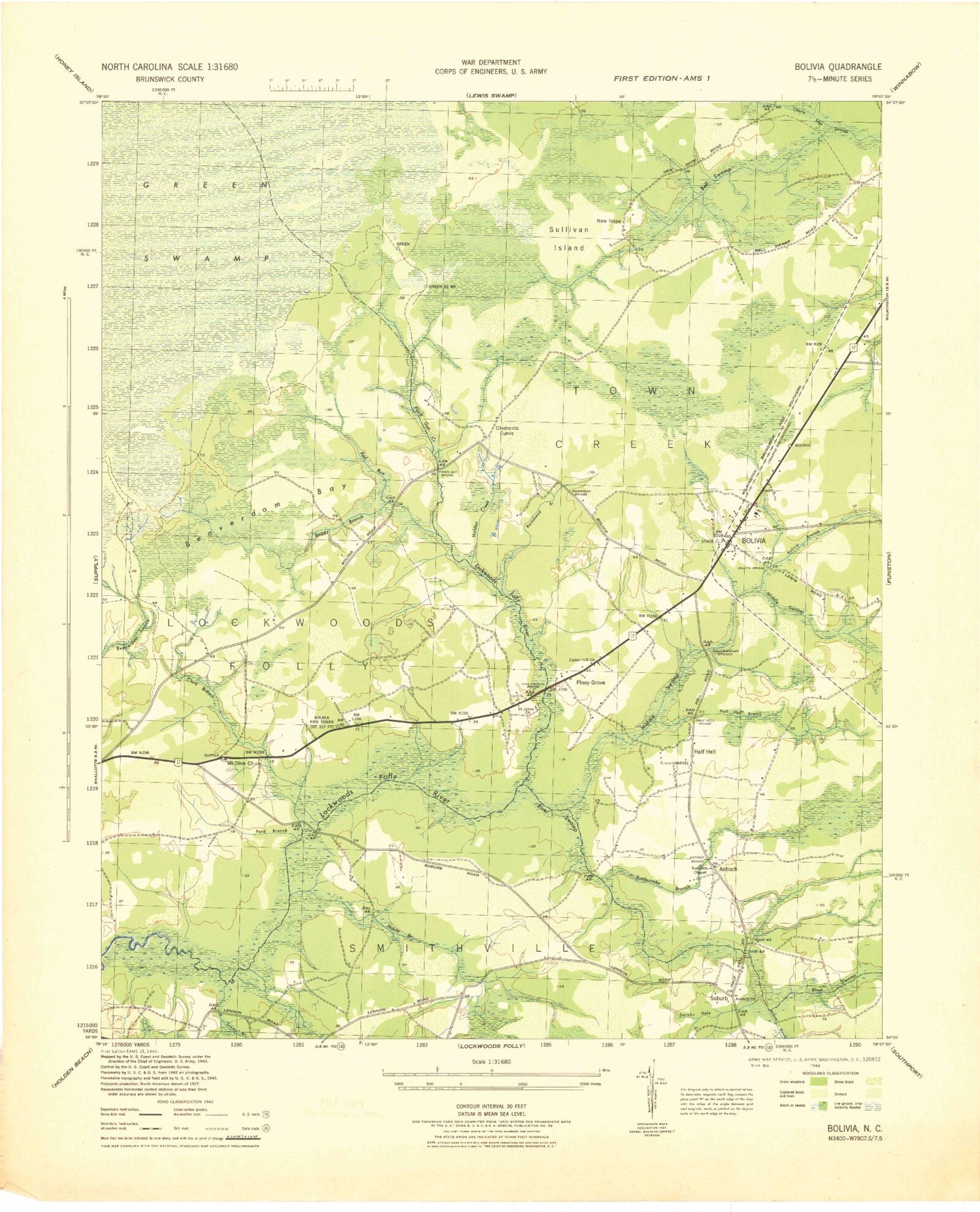
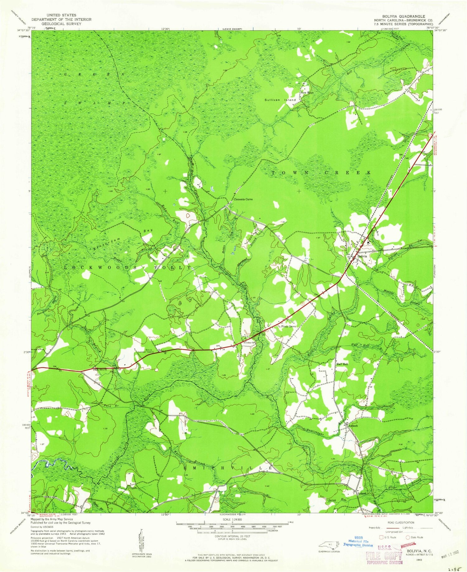
Historical USGS topographic quad map of Bolivia in the state of North Carolina. Map scale may vary for some years, but is generally around 1:24,000. Print size is approximately 24" x 27"
This quadrangle is in the following counties: Brunswick.
The map contains contour lines, roads, rivers, towns, and lakes. Printed on high-quality waterproof paper with UV fade-resistant inks, and shipped rolled.
Contains the following named places: Antioch, Antioch Church, Beaverdam Bay, Boggy Branch, Bolivia, Bolivia Branch, Bolivia Lookout Tower, Bolivia Post Office, Bolivia Volunteer Fire Department, Brunswick Community College, Brunswick County, Brunswick County Criminal Justice, Brunswick County District Criminal, Brunswick County Sheriff's Office, Brunswick Emergency Service, Buck Branch, Cherry Tree Swamp, Clark Branch, Clements Curve, Faith Church, Fawnbrook Circle Mobile Home, Ford Branch, Forest Lawn Cemetery, Friendship Church, Gap Branch, Half Hell, Half Hell Swamp, Hog Branch, Holden Creek, Mercer Cemetery, Middle Branch, Middle Swamp, Mount Olive Church, New Hope, Nucitt Branch, Pinch Gut Creek, Pine Log Branch, Piney Grove, Ramshead Branch, Randolph Cemetery, Rattlesnake Branch, Red Run, River Swamp, Rutland Chapel, Saint Johns Church, Sarah Hole, Scotts Branch, Suburb, Sullivan Island, Town of Bolivia, ZIP Code: 28422