MyTopo
Classic USGS Bologna Basin Oregon 7.5'x7.5' Topo Map
Couldn't load pickup availability
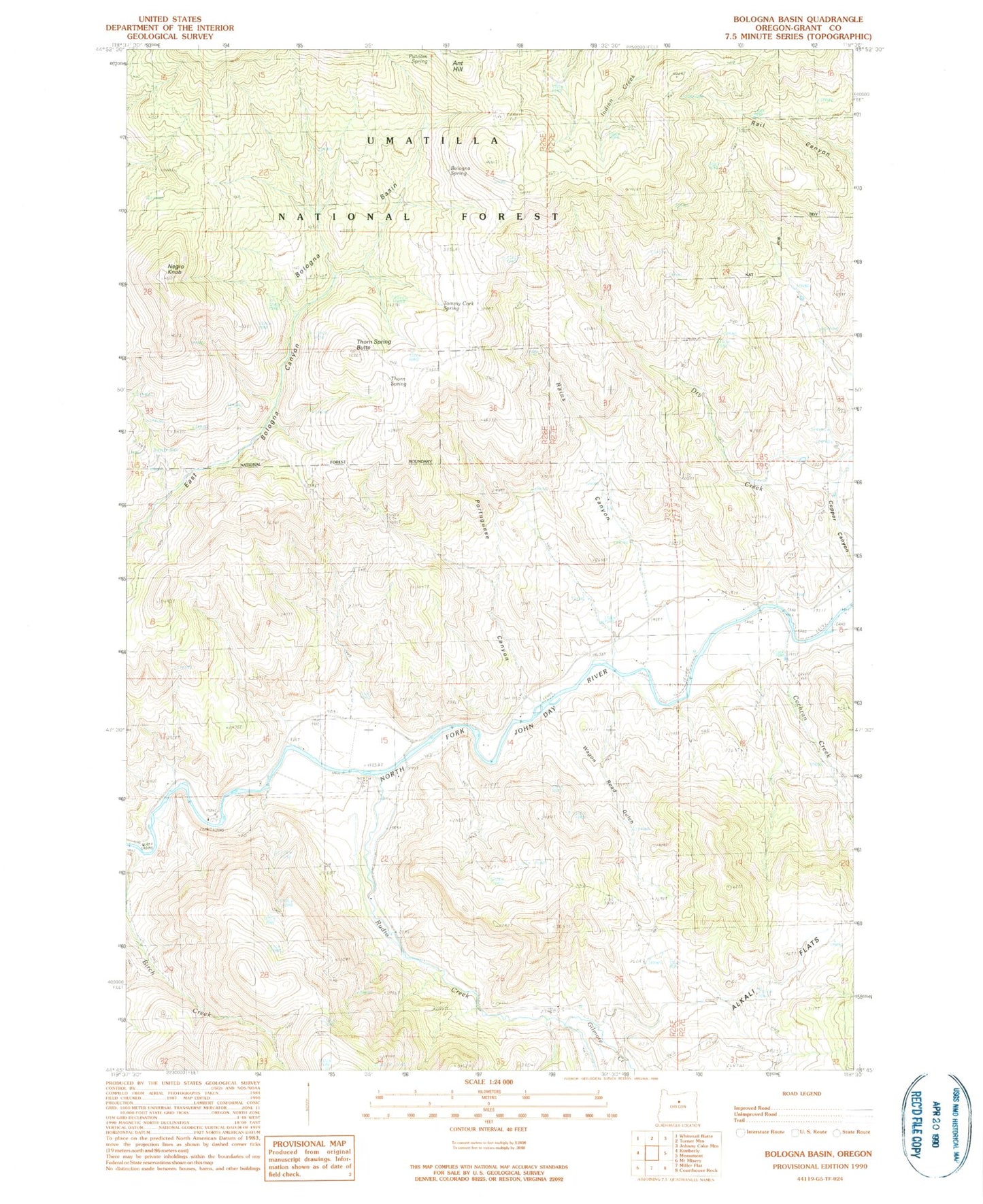
Historical USGS topographic quad map of Bologna Basin in the state of Oregon. Map scale is 1:24000. Print size is approximately 24" x 27"
This quadrangle is in the following counties: Grant.
The map contains contour lines, roads, rivers, towns, and lakes. Printed on high-quality waterproof paper with UV fade-resistant inks, and shipped rolled.
Contains the following named places: Alkali Flats, Ant Hill, Big Bend, Birch Creek, Bologna Basin, Bologna Spring, Cochran Creek, Cupper Canyon, Dry Creek, Gilmore Creek, Neal Dam, Negro Knob, Negro Knob Trail (historical), Portuguese Canyon, Putnam Spring, Rains Canyon, Rudio Creek, Thorn Spring, Thorn Spring Butte, Tommy Cork Spring, Wagon Road Gulch, Waller Reservoir Number Four, West Fork Cochran Creek


