MyTopo
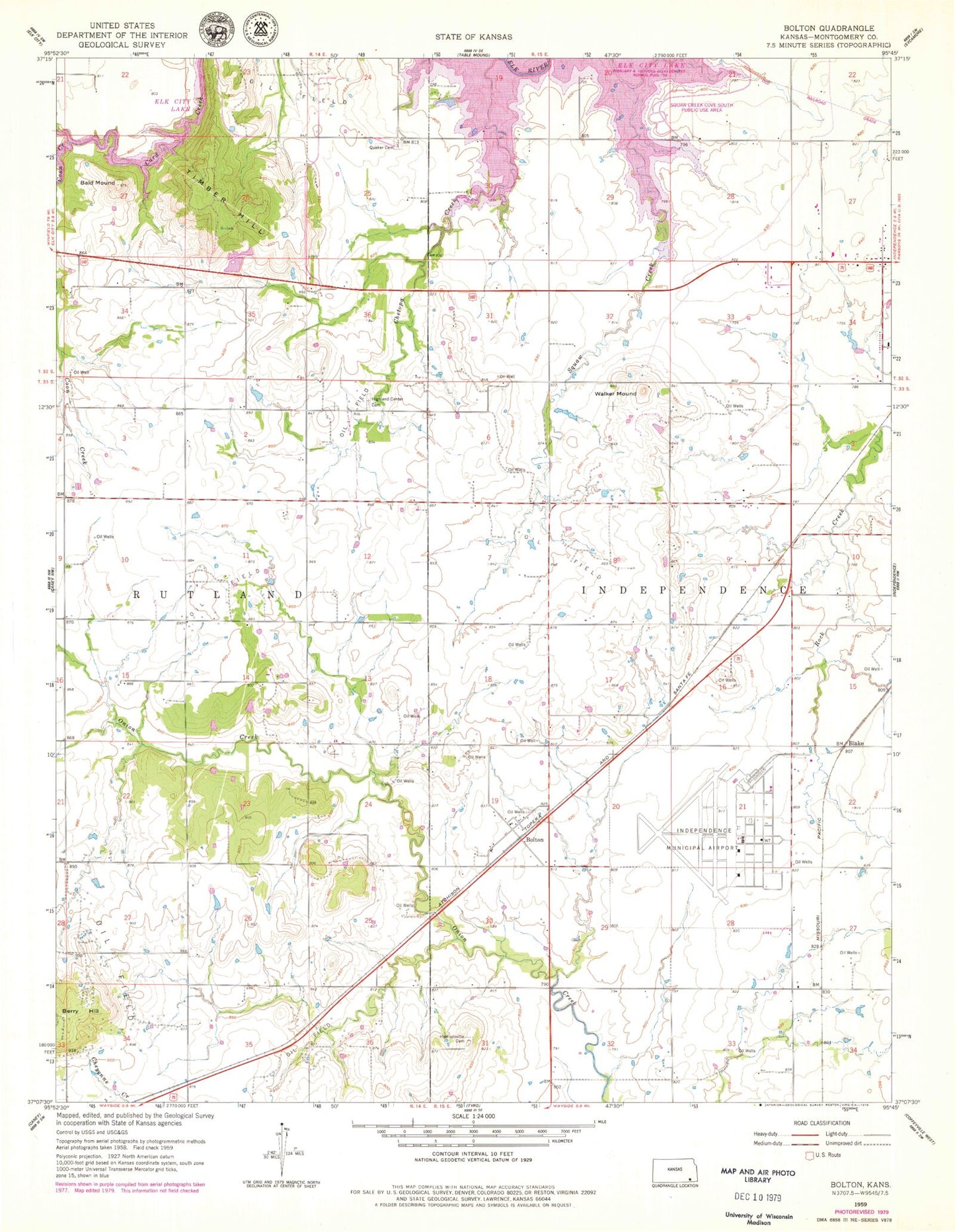
Classic USGS Bolton Kansas 7.5'x7.5' Topo Map
Couldn't load pickup availability
Historical USGS topographic quad map of Bolton in the state of Kansas. Map scale may vary for some years, but is generally around 1:24,000. Print size is approximately 24" x 27"
This quadrangle is in the following counties: Montgomery.
The map contains contour lines, roads, rivers, towns, and lakes. Printed on high-quality waterproof paper with UV fade-resistant inks, and shipped rolled.
Contains the following named places: Bald Mound, Blake, Bolton, Chetopa Creek, Christian Church, Coon Creek, Fairview School, Four Corners School, Frontline Baptist Church, Grass, Harrisonville, Harrisonville Cemetery, Harrisonville School, Highland Center Cemetery, Highland Center School, Independence Army Air Field, Independence Municipal Airport, James School, Oak Ridge School, Patterson Farms Airport, Pleasant Prairie Church, Pleasant Valley School, Quaker Cemetery, Quaker Church, Squaw Creek Cove South Public Use Area, Township of Independence, Walker Mound, Wayside Census Designated Place, White Post School, ZIP Code: 67301