
MyTopo
Classic USGS Bond Bottom South Dakota 7.5'x7.5' Topo Map
Regular price
$16.95
Regular price
Sale price
$16.95
Unit price
per
Couldn't load pickup availability
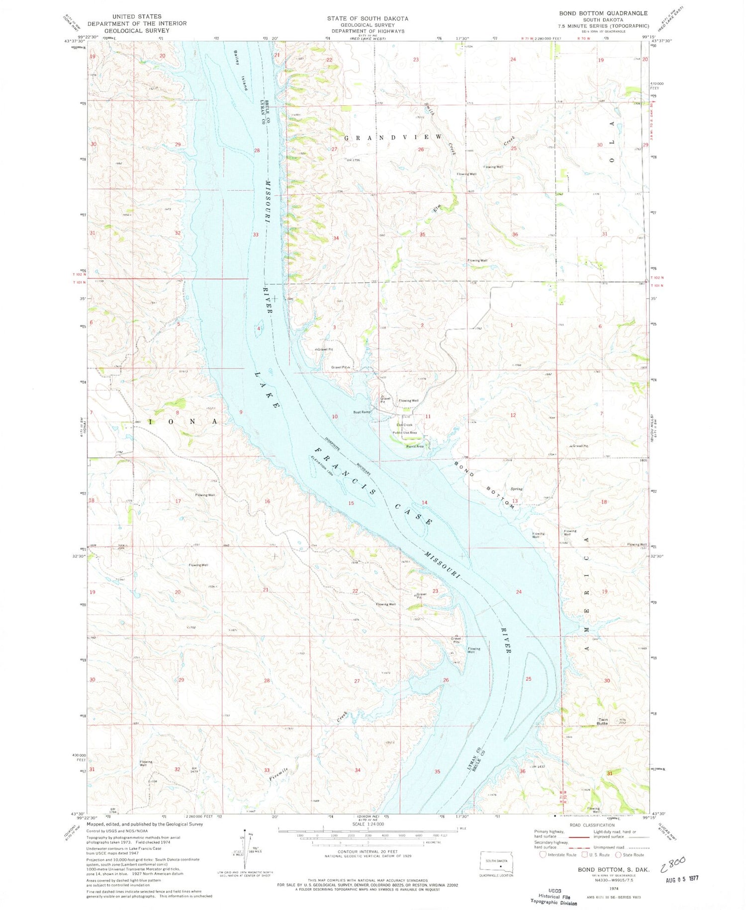
Historical USGS topographic quad map of Bond Bottom in the state of South Dakota. Map scale may vary for some years, but is generally around 1:24,000. Print size is approximately 24" x 27"
This quadrangle is in the following counties: Brule, Lyman.
The map contains contour lines, roads, rivers, towns, and lakes. Printed on high-quality waterproof paper with UV fade-resistant inks, and shipped rolled.
Contains the following named places: Austin and Spaulding Ranch, Black Bluffs, Bond Bottom, Bonds Ferry, Elm Creek, Elm Creek Public Use Area, Fivemile Creek, Ola, Phelps Island, Randall Dam, Rosebud Landing, Smith Creek, Twin Butte


