MyTopo
Classic USGS Bone Spring NE Texas 7.5'x7.5' Topo Map
Regular price
$16.95
Regular price
Sale price
$16.95
Unit price
per
Couldn't load pickup availability
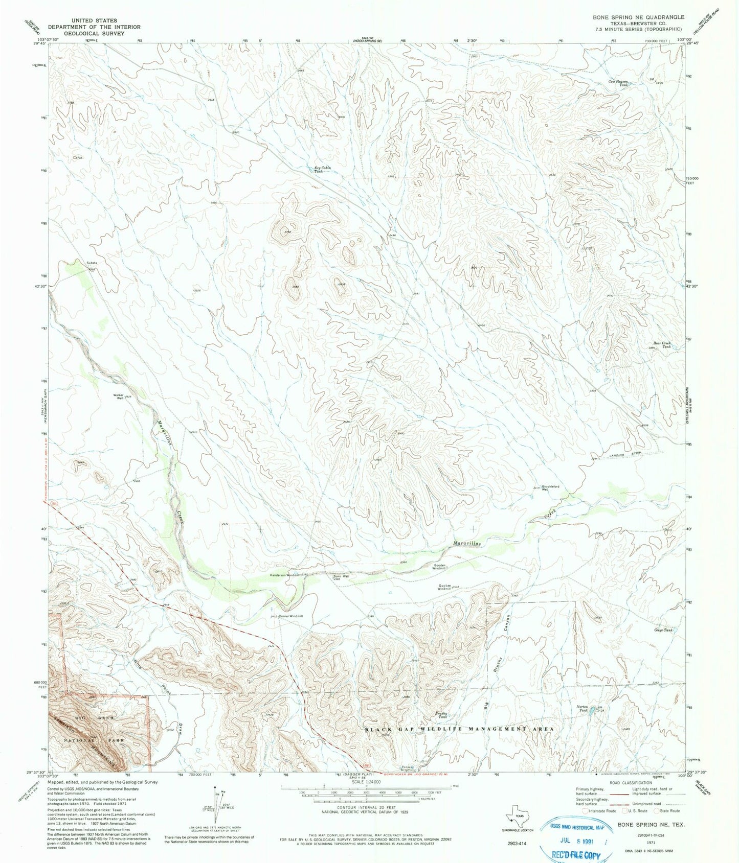
Historical USGS topographic quad map of Bone Spring NE in the state of Texas. Map scale may vary for some years, but is generally around 1:24,000. Print size is approximately 24" x 27"
This quadrangle is in the following counties: Brewster.
The map contains contour lines, roads, rivers, towns, and lakes. Printed on high-quality waterproof paper with UV fade-resistant inks, and shipped rolled.
Contains the following named places: Bear Creek Tank, Big Brushy Canyon, Brushy Tank, Corner Windmill, Cow Heaven Tank, Gooden Windmill, Guy Lee Windmill, Guys Tank, Henderson Windmill, Key Cabin Tank, Nine Point Draw, Norton Tank, Penners Windmill, Shackleford Well, Sons Well, Walker Well