MyTopo
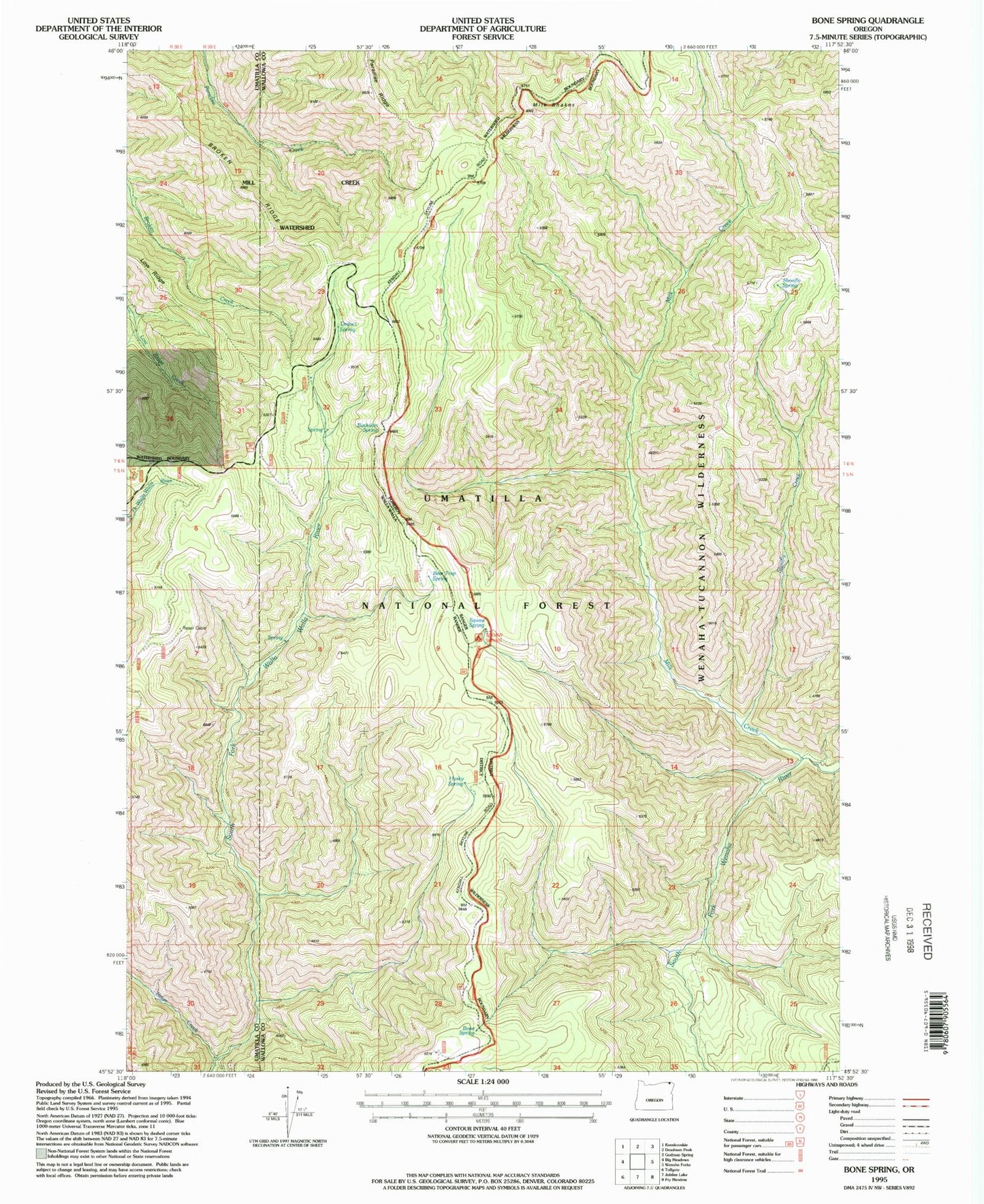
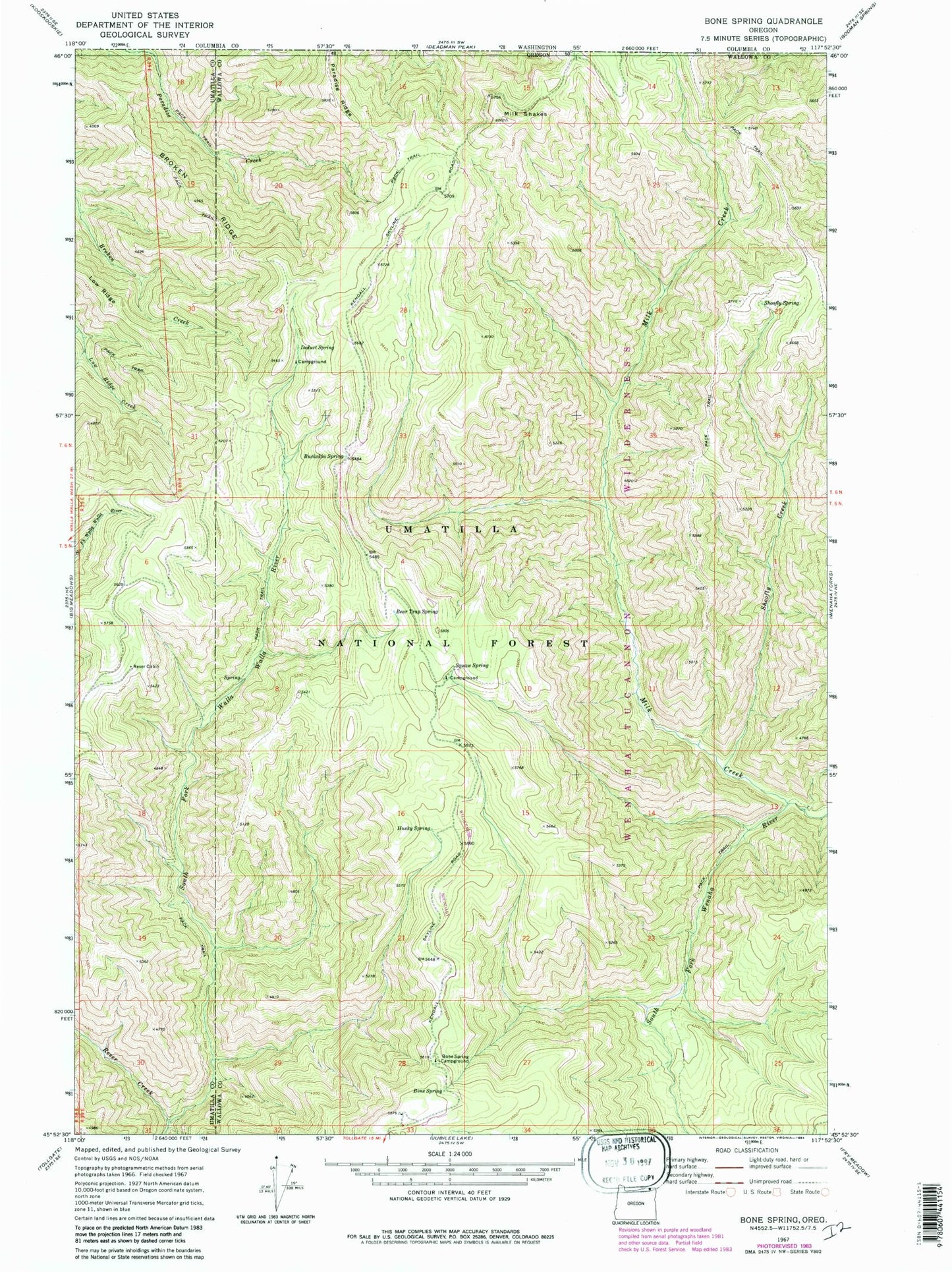
Classic USGS Bone Spring Oregon 7.5'x7.5' Topo Map
Couldn't load pickup availability
Historical USGS topographic quad map of Bone Spring in the state of Oregon. Typical map scale is 1:24,000, but may vary for certain years, if available. Print size: 24" x 27"
This quadrangle is in the following counties: Umatilla, Wallowa.
The map contains contour lines, roads, rivers, towns, and lakes. Printed on high-quality waterproof paper with UV fade-resistant inks, and shipped rolled.
Contains the following named places: Bear Trap Spring, Bone Spring, Bone Spring Campground, Broken Ridge, Buckskin Spring, Deduct Spring, Husky Spring, Low Ridge, Milk Creek, Milk Shakes, Paradise Ridge, Reser Cabin, Reser Creek, Sheep Creek, Shoofly Creek, Shoofly Spring, Winaha'ay Spring, Bone Spring Lookout (historical), Skyline Recreation Site, Deduct Forest Camp