MyTopo
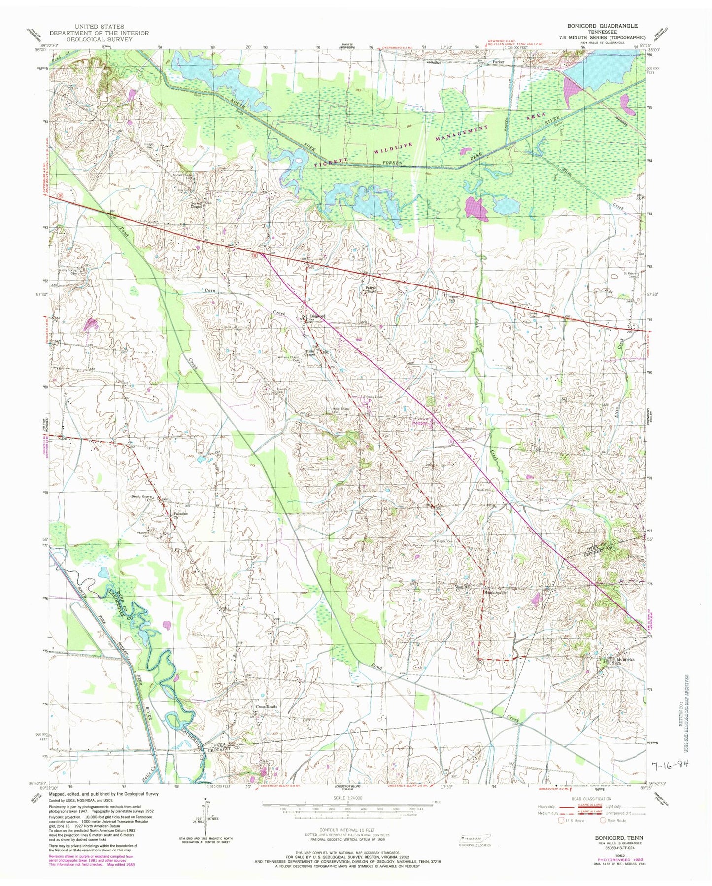
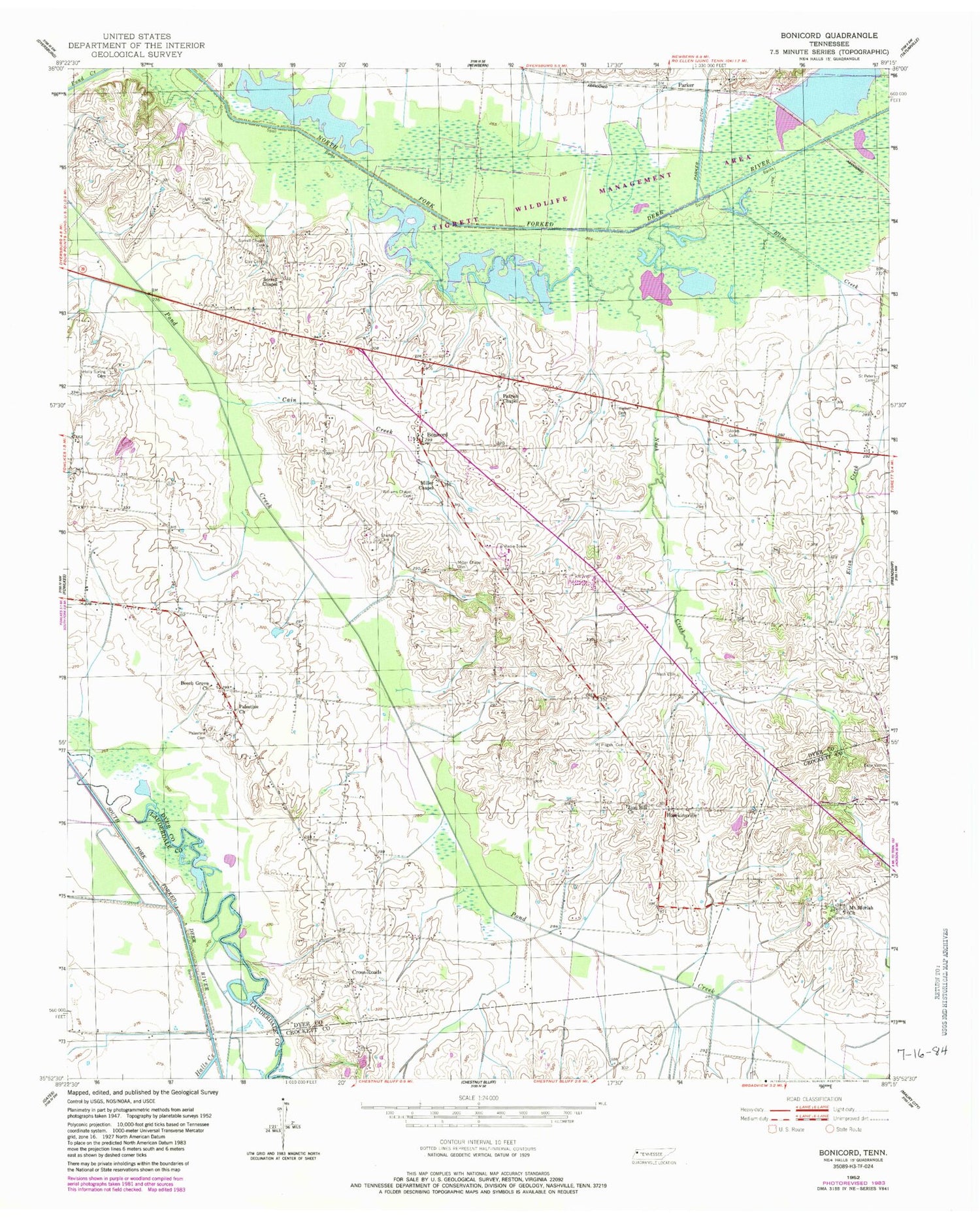
Classic USGS Bonicord Tennessee 7.5'x7.5' Topo Map
Couldn't load pickup availability
Historical USGS topographic quad map of Bonicord in the state of Tennessee. Map scale may vary for some years, but is generally around 1:24,000. Print size is approximately 24" x 27"
This quadrangle is in the following counties: Crockett, Dyer, Lauderdale.
The map contains contour lines, roads, rivers, towns, and lakes. Printed on high-quality waterproof paper with UV fade-resistant inks, and shipped rolled.
Contains the following named places: Beech Grove, Beech Grove Church, Bonicord, Bonicord Volunteer Fire Department, Bruceville, Bruceville Volunteer Fire Department, Cain Creek, Clark Farm Lake, Clark Farm Lake Dam, Clay Cemetery, Commissioner District 1, Cross Roads, District 2, District 3, Eliza Creek, Fowlkes Division, Halls Creek, Hawkinsville, Hillcrest School, Hodge Cemetery, Holly Spring Cemetery, Island Number Five, Jones Cemetery, Miller Chapel, Miller Chapel Cemetery, Mount Moriah Church, Mount Pisgah Cemetery, Nash Cemetery, Nash Creek, Palestine Cemetery, Palestine Church, Parker, Parker Ditch, Parrish Chapel, Saint Peter Cemetery, Shelton Cemetery, Sorrell Chapel, Sorrell Chapel Cemetery, Stokes Creek, Tigrett Wildlife Management Area, Walker Cemetery, Williams Chapel Cemetery, Zion Hill Church


