

MyTopo
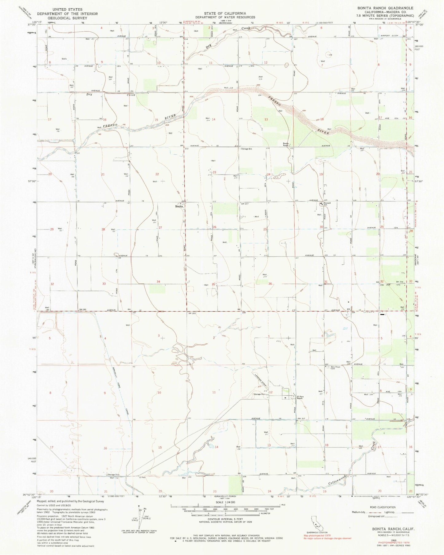
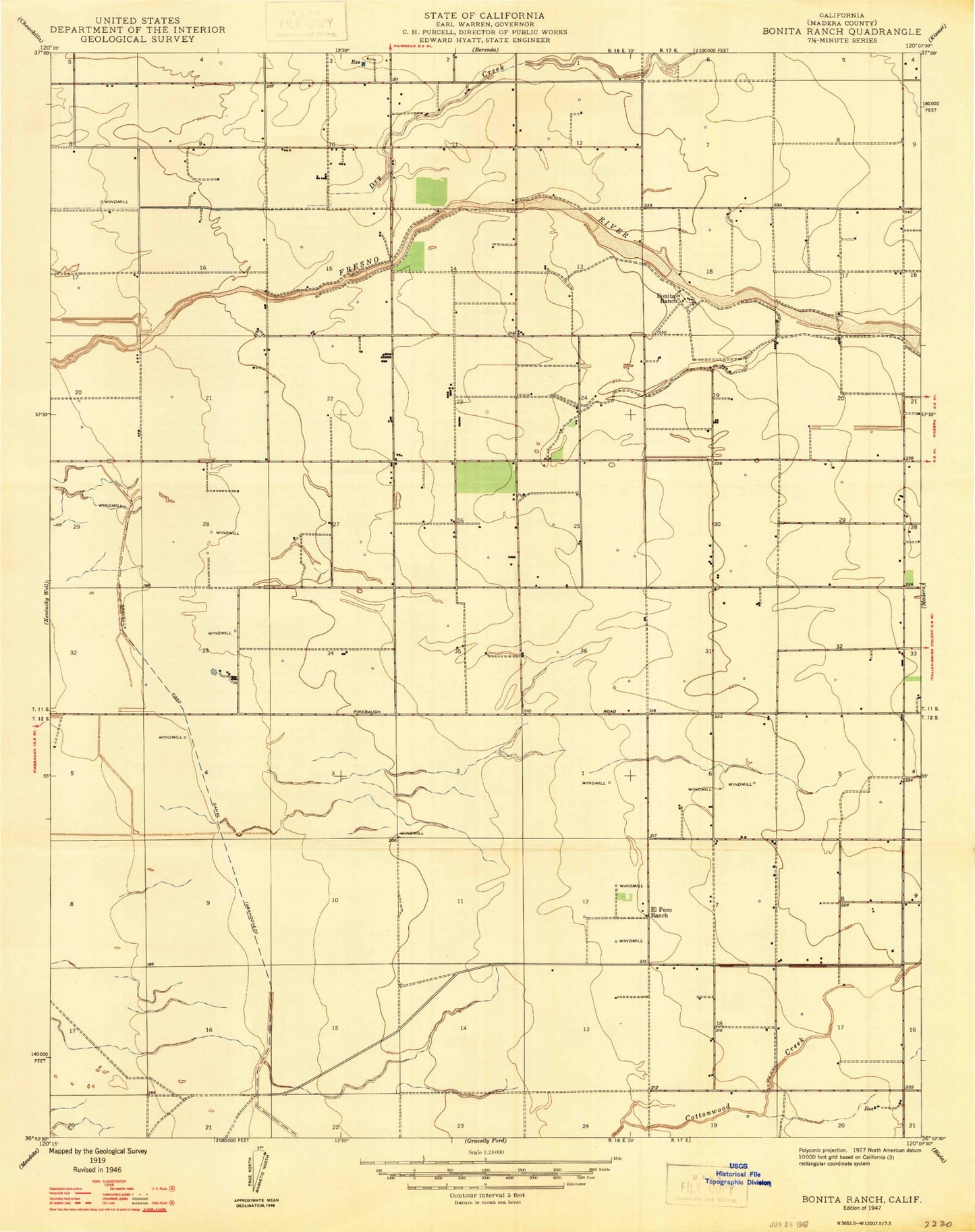
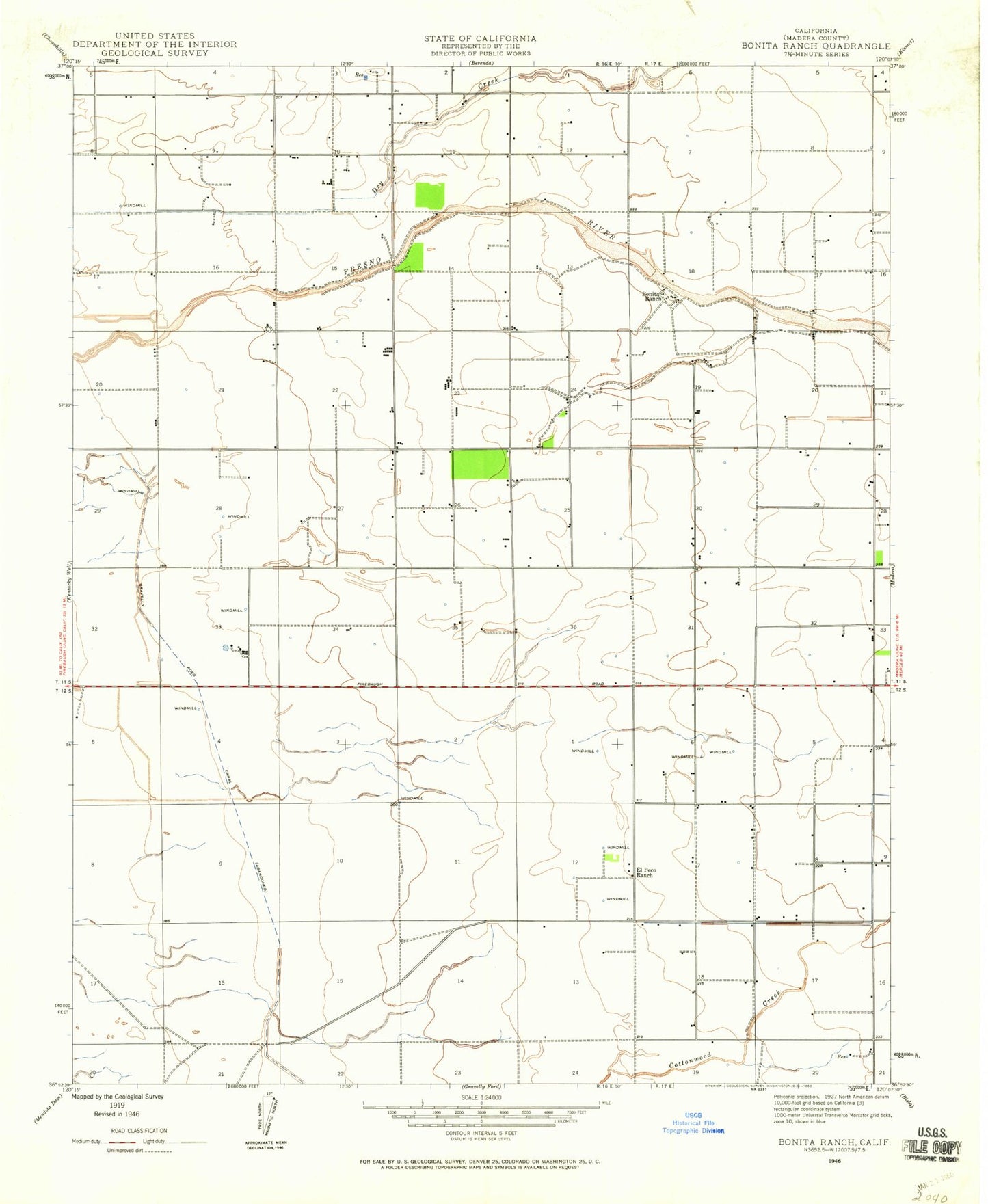
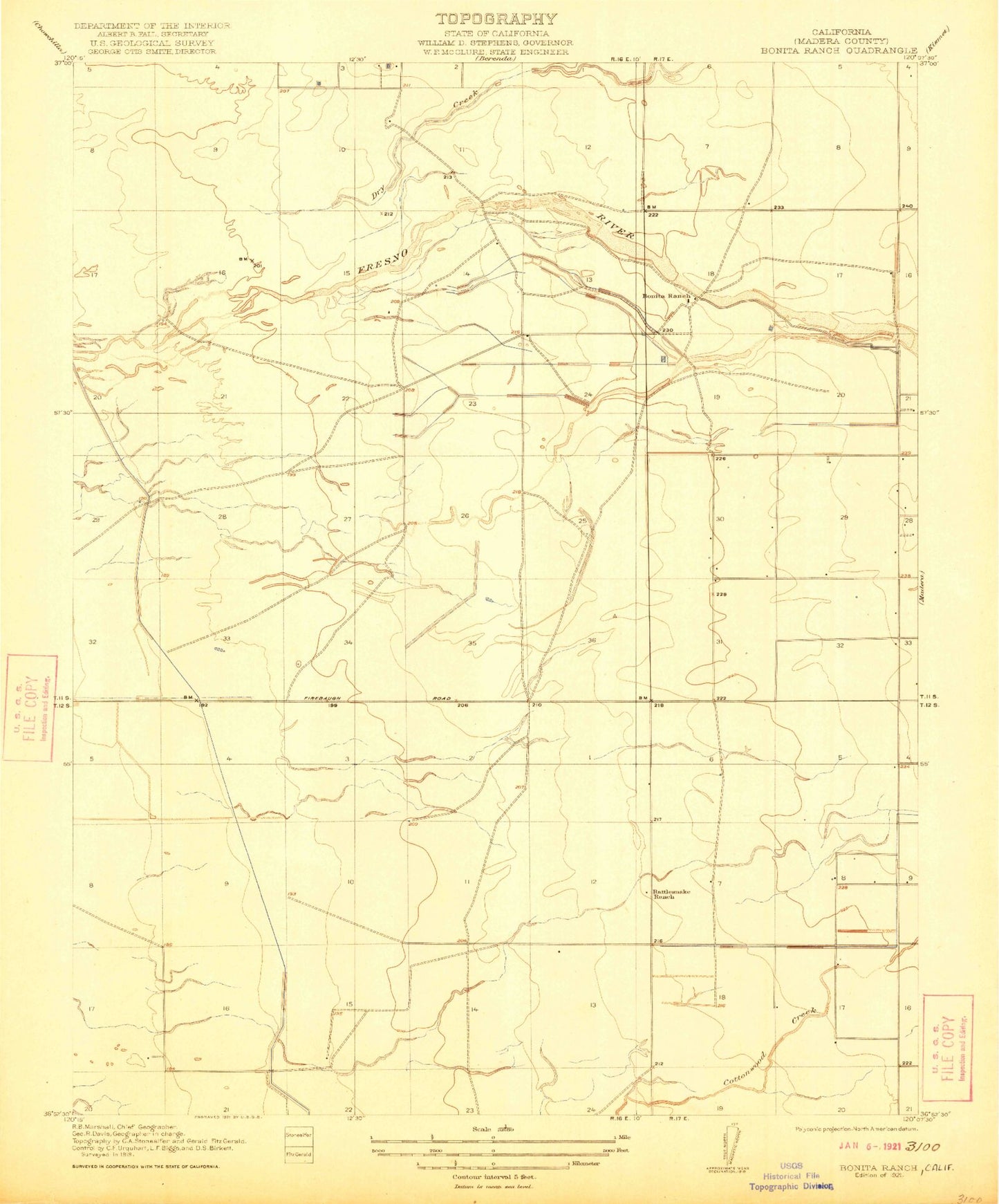
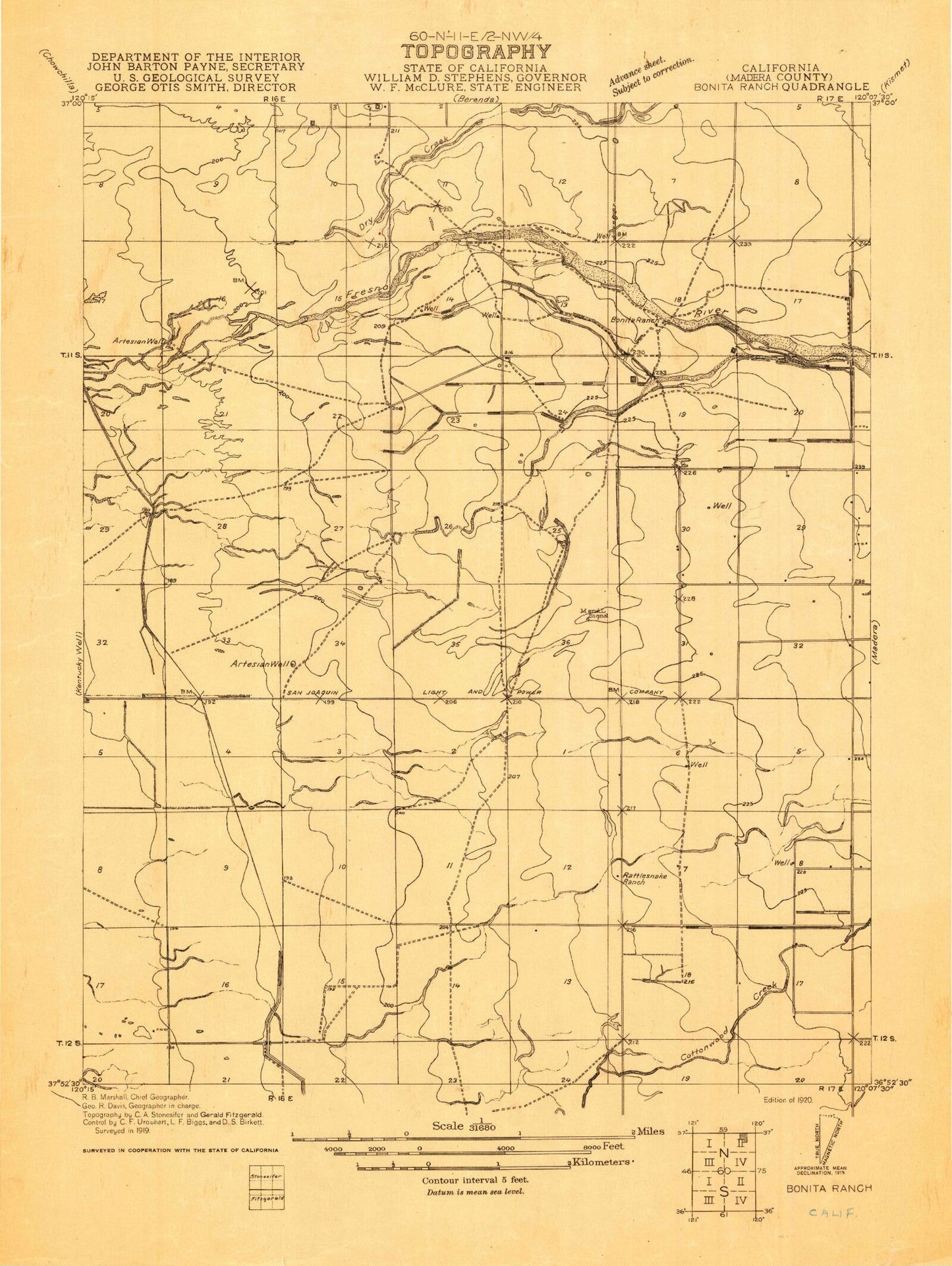
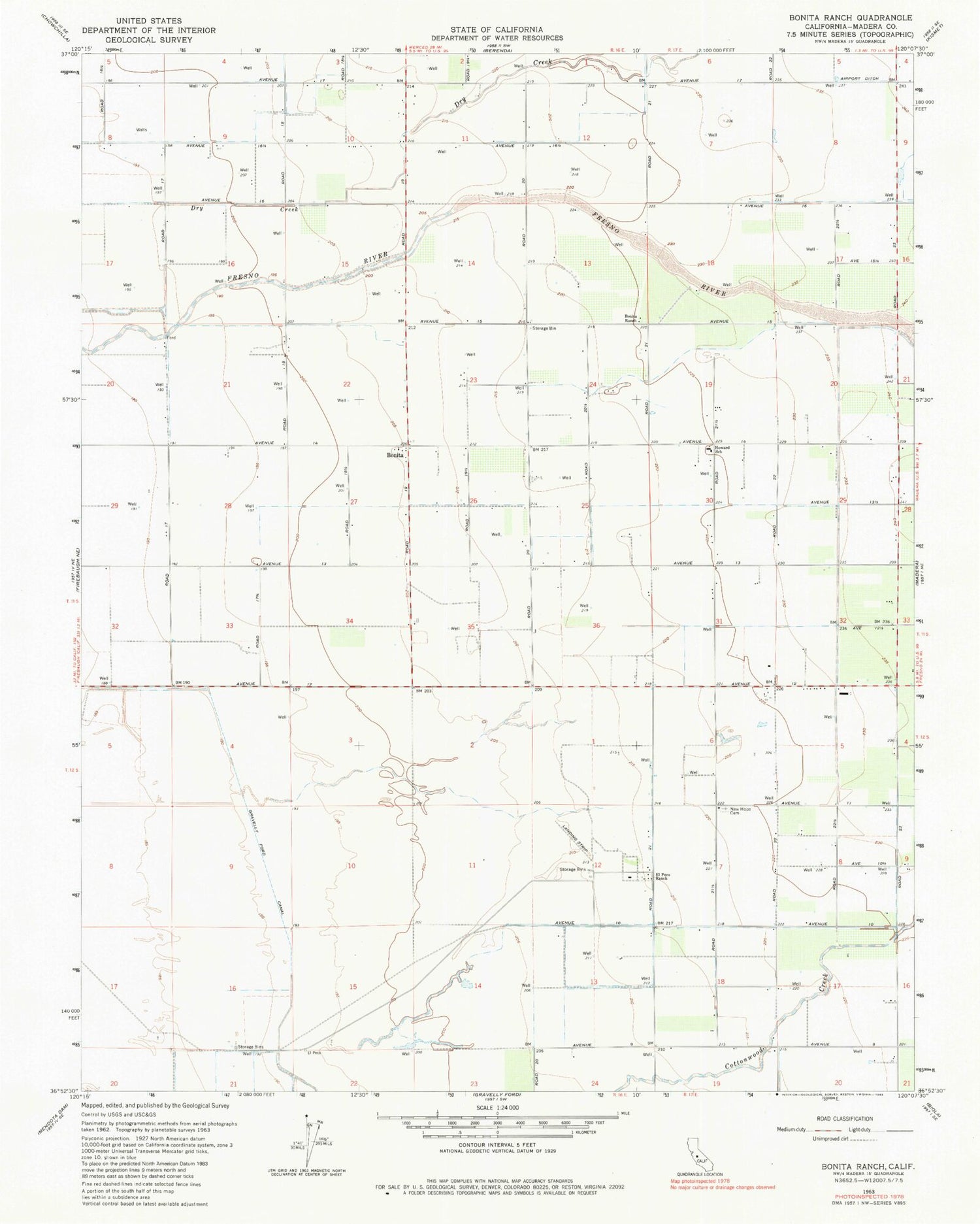
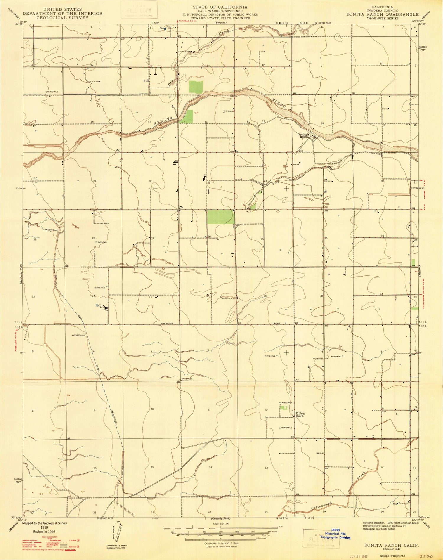
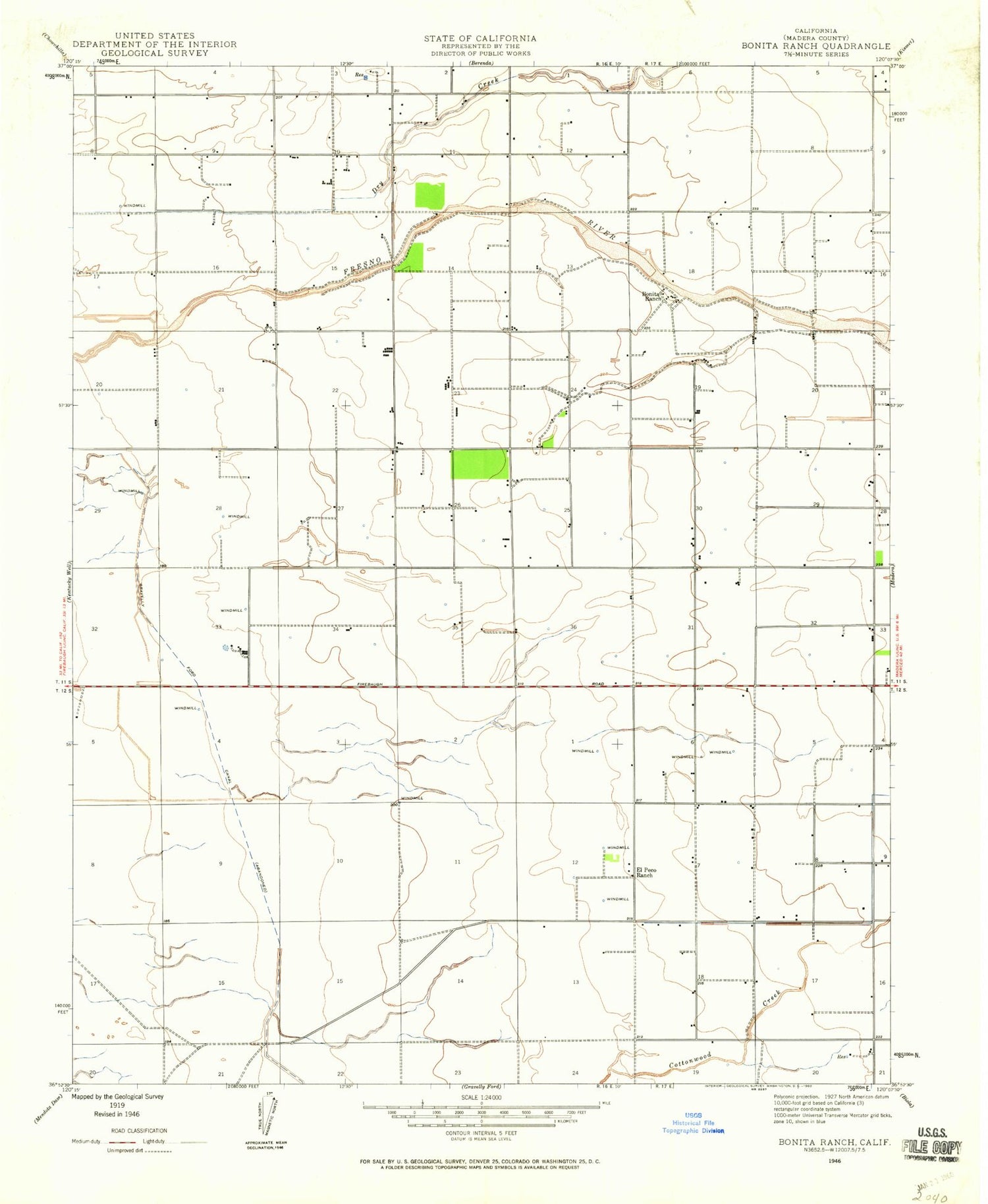
Classic USGS Bonita Ranch California 7.5'x7.5' Topo Map
Regular price
$16.95
Regular price
Sale price
$16.95
Unit price
per
Couldn't load pickup availability
Historical USGS topographic quad map of Bonita Ranch in the state of California. Map scale may vary for some years, but is generally around 1:24,000. Print size is approximately 24" x 27"
This quadrangle is in the following counties: Madera.
The map contains contour lines, roads, rivers, towns, and lakes. Printed on high-quality waterproof paper with UV fade-resistant inks, and shipped rolled.
Contains the following named places: Airport Ditch, Bonita, Bonita Ranch, El Peco Ranch, El Peco Ranch Airport, Gravelly Ford Canal, Haws Airport, Howard Elementary School, Milk Time Dairy, New Hope Cemetery, ZIP Code: 93637