
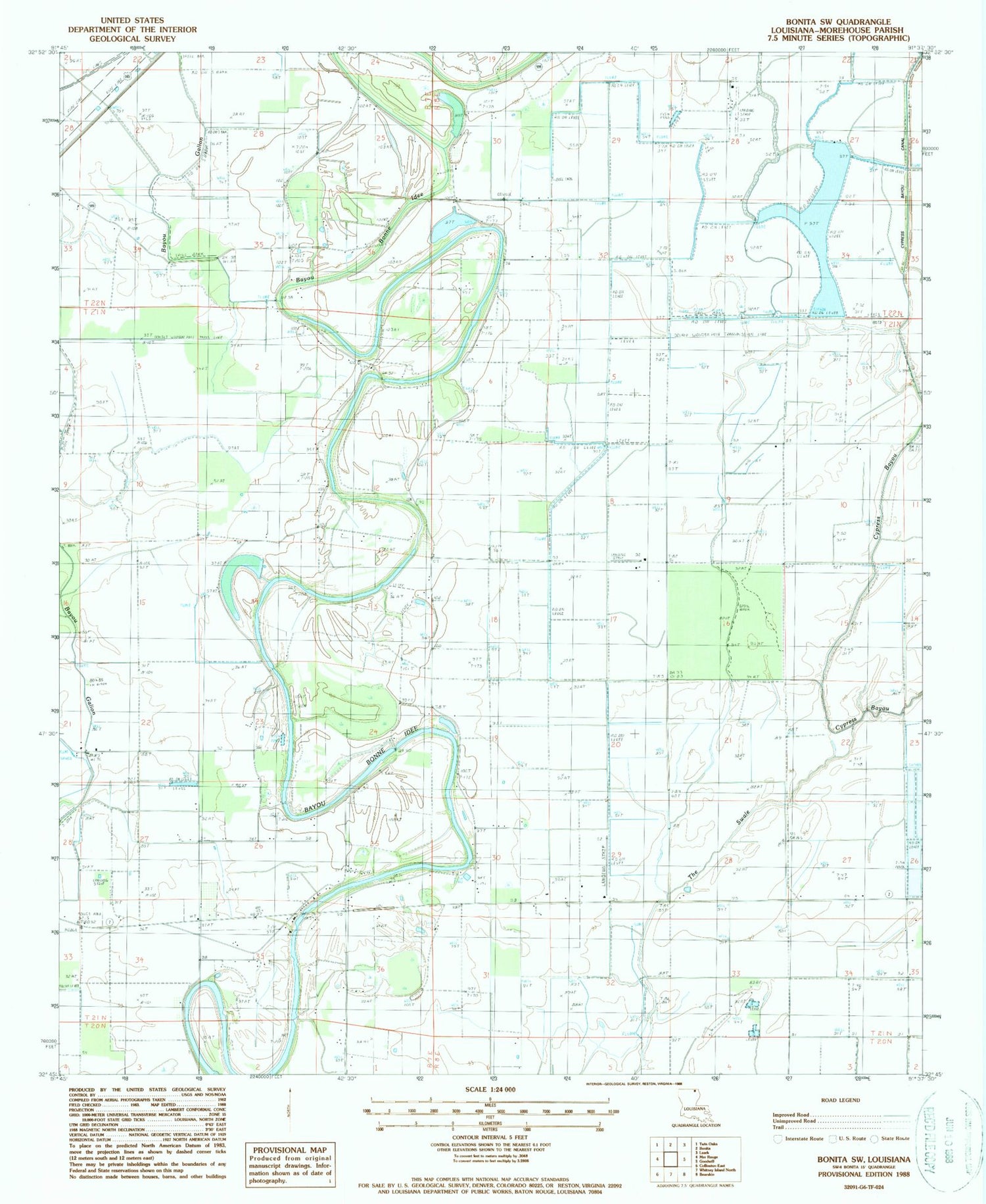
MyTopo
Classic USGS Bonita SW Louisiana 7.5'x7.5' Topo Map
Regular price
$16.95
Regular price
Sale price
$16.95
Unit price
per
Couldn't load pickup availability
Historical USGS topographic quad map of Bonita SW in the state of Louisiana. Map scale may vary for some years, but is generally around 1:24,000. Print size is approximately 24" x 27"
This quadrangle is in the following counties: Morehouse.
The map contains contour lines, roads, rivers, towns, and lakes. Printed on high-quality waterproof paper with UV fade-resistant inks, and shipped rolled.
Contains the following named places: Bayou Galion, Cherry Hill Church, Cherry Hill Church Number 1, Cherry Hill Church Number 2, Delemar Bayou, Heart Cemetery, Johnson School, Little Brake, Mount Olive Church, Pentecostal Church, Robertson Chapel, The Swale, ZIP Code: 71261


