MyTopo
Classic USGS Bonito Prairie Arizona 7.5'x7.5' Topo Map
Couldn't load pickup availability
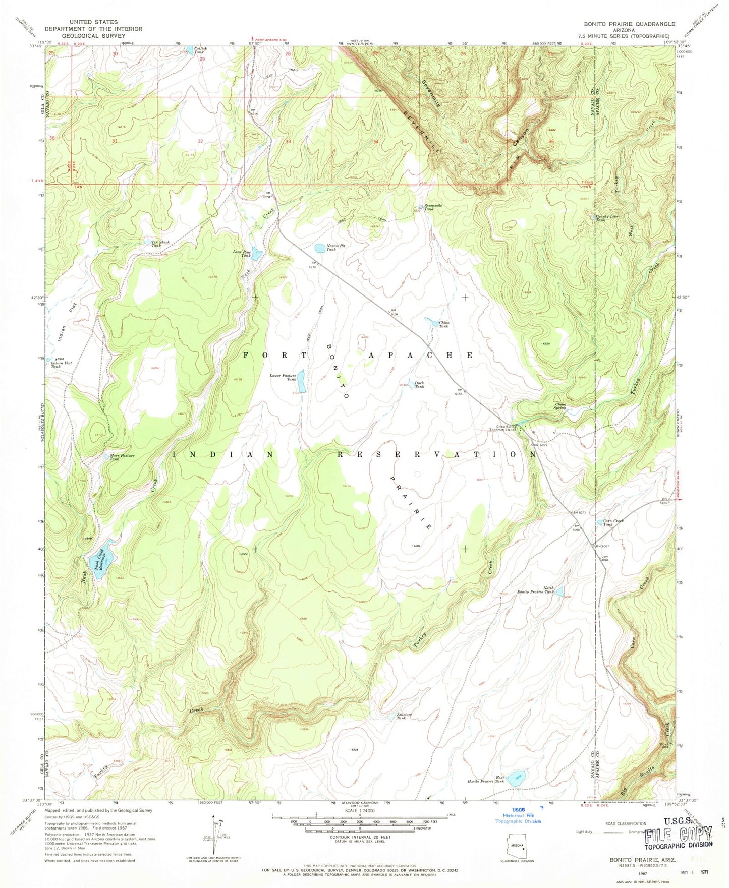
Historical USGS topographic quad map of Bonito Prairie in the state of Arizona. Map scale may vary for some years, but is generally around 1:24,000. Print size is approximately 24" x 27"
This quadrangle is in the following counties: Apache, Navajo.
The map contains contour lines, roads, rivers, towns, and lakes. Printed on high-quality waterproof paper with UV fade-resistant inks, and shipped rolled.
Contains the following named places: Antelope Tank, Bonito Prairie, Catfish Tank, Charco Tank, Chino Spring, Chino Spring Stockman Station, Chino Tank, Corn Creek, Corn Creek Tank, County Line Tank, Duck Tank, East Bonito Prairie Tank, Horse Tank, Indian Flat, Indian Flat Tank, Indian Flat Well, Lone Pine Tank, Lower Pasture Tank, Mare Pasture Tank, Nash Creek Dam, Navato Pit Tank, Norman Spring, North Bonito Prairie Tank, P Six Ranch, Pussy Tank, Sevenmile Spring, Sevenmile Tank, Tin Shack Tank, West Turkey Creek, Willow Trap