MyTopo
Classic USGS Bonnertown Tennessee 7.5'x7.5' Topo Map
Couldn't load pickup availability
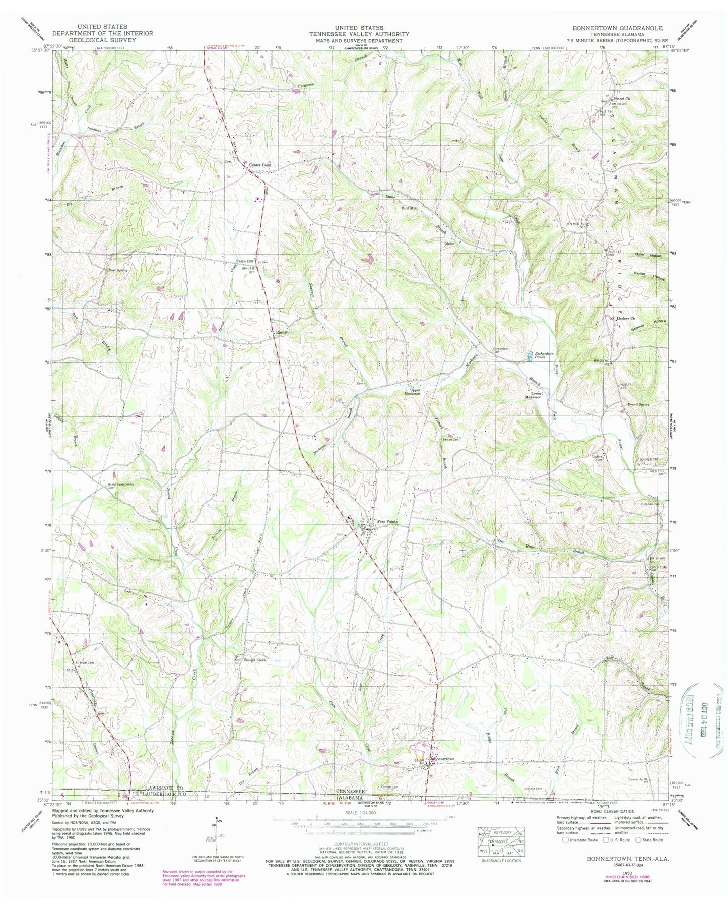
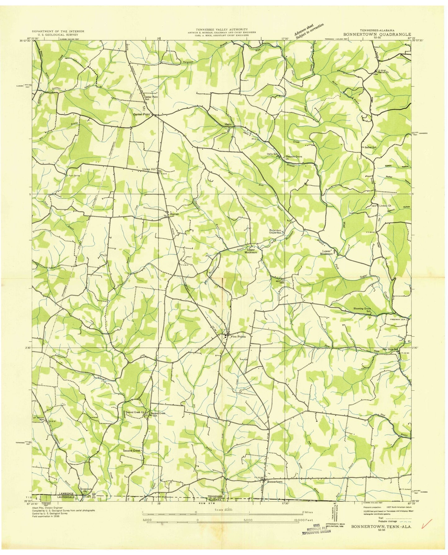
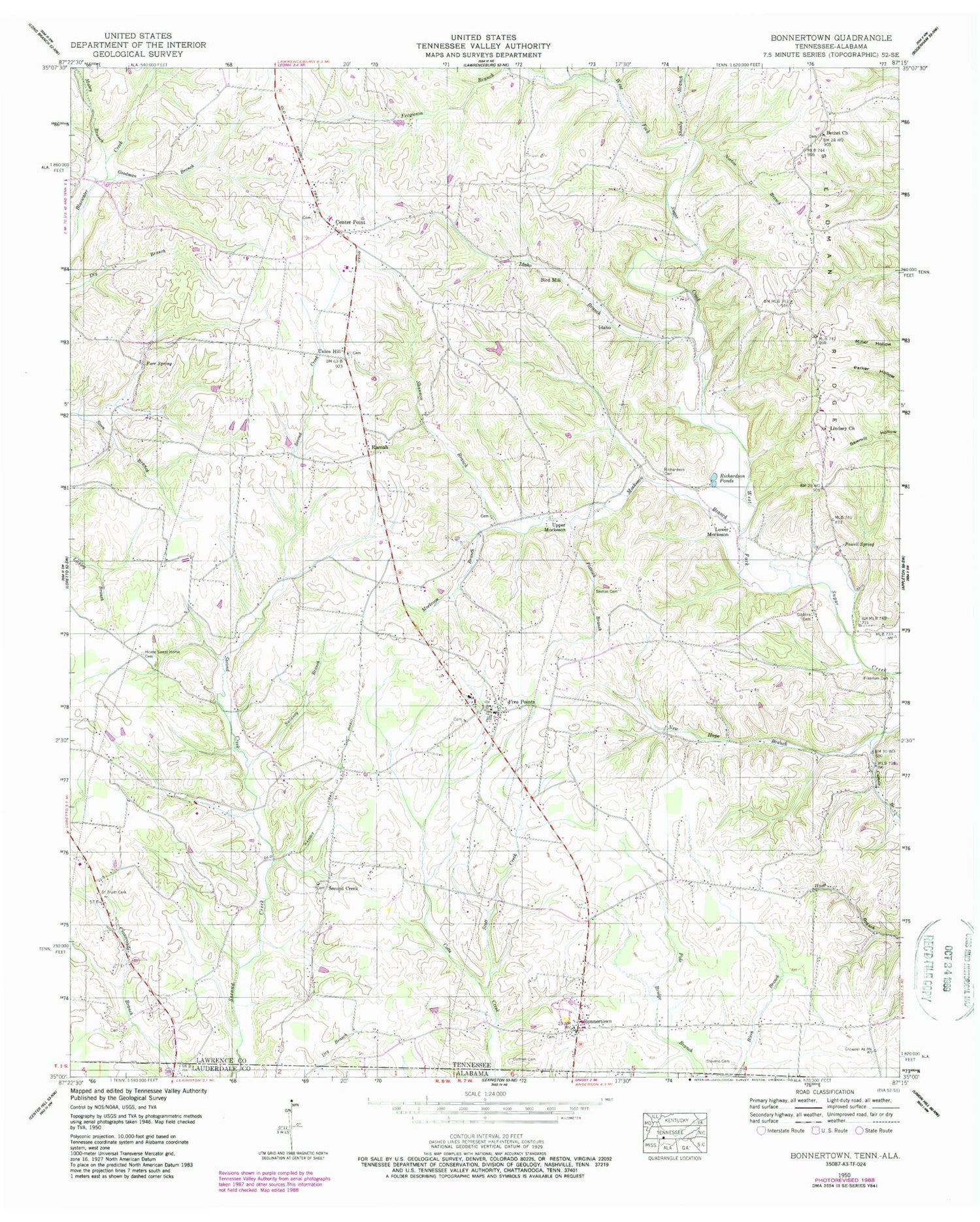
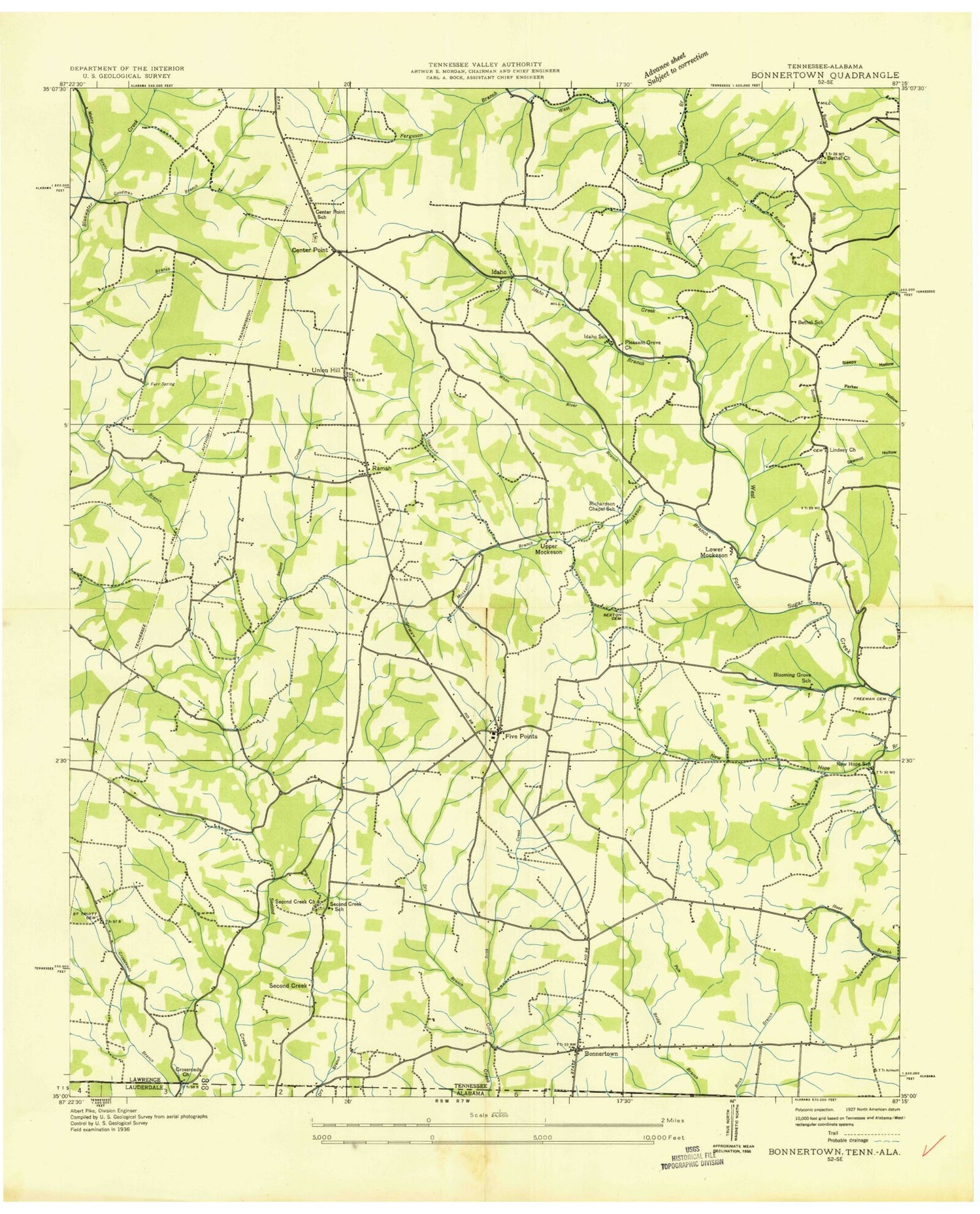
Historical USGS topographic quad map of Bonnertown in the state of Tennessee. Map scale may vary for some years, but is generally around 1:24,000. Print size is approximately 24" x 27"
This quadrangle is in the following counties: Lauderdale, Lawrence.
The map contains contour lines, roads, rivers, towns, and lakes. Printed on high-quality waterproof paper with UV fade-resistant inks, and shipped rolled.
Contains the following named places: Bethel Cemetery, Bethel Church, Bird Mill, Blooming Grove Baptist Church, Blooming Grove School, Bonnertown, Bonnertown Baptist Church, Bonnertown Cemetery, Bonnertown Methodist Church, Bonnertown School, Butler Branch, Camels Branch, Center Point, Center Point Cemetery, Center Point Methodist Church, Center Point Missionary Baptist Church, Center Point School, Center Point Volunteer Fire Department, Commissioner District 3, Cottrell Cemetery, Crossroads Church, Dustin, Farr Spring, Ferguson Branch, Five Points, Five Points Baptist Church, Five Points Cemetery, Five Points Church of Christ, Five Points Division, Five Points Post Office, Five Points School, Flatrock Branch, Freeman Cemetery, Gibbins Cemetery, Goodman Branch, Home Sweet Home Cemetery, Idaho, Idaho Branch, Idaho School, Lindsey Cemetery, Lindsey Church, Lower Mockeson, Mabry Branch, Mockeson Branch, Moodys Fork, New Bethel School, New Hope School, Norton Branch, Parrott Poultry Farm, Pleasant Grove Baptist Church, Powell Spring, Rabbit Trail Poultry Farm, Ramah, Ramah Baptist Church, Ramah School, Richardson Cemetery, Richardson Chapel School, Richardson Ponds, Saint Truitt, Saint Truitt Cemetery, Saint Truitt School, Scott Creek, Second Creek Baptist Church, Second Creek Cemetery, Second Creek School, Sexton Cemetery, Shannon Branch, Shoaly Branch, Southeast Lawrence County Volunteer Fire Department, Steadman Ridge, Stevens Cemetery, Swinney Branch, Union Hill, Union Hill Cemetery, Union Hill Congregational Methodist Church, Upper Mockeson, Wills, ZIP Code: 38457


