
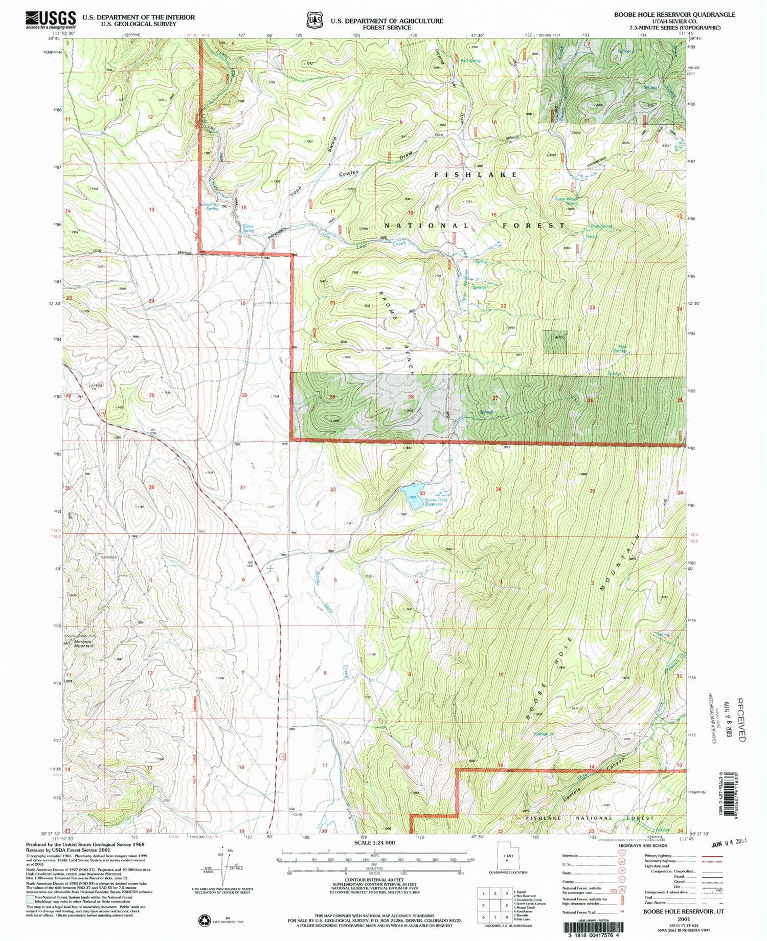
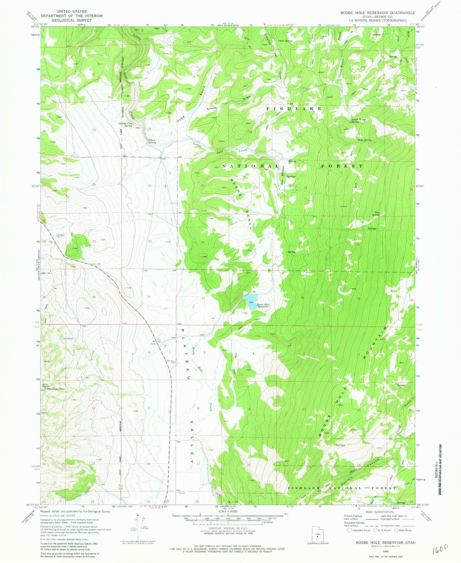
MyTopo
Classic USGS Boobe Hole Reservoir Utah 7.5'x7.5' Topo Map
Regular price
$16.95
Regular price
Sale price
$16.95
Unit price
per
Couldn't load pickup availability
Historical USGS topographic quad map of Boobe Hole Reservoir in the state of Utah. Typical map scale is 1:24,000, but may vary for certain years, if available. Print size: 24" x 27"
This quadrangle is in the following counties: Sevier.
The map contains contour lines, roads, rivers, towns, and lakes. Printed on high-quality waterproof paper with UV fade-resistant inks, and shipped rolled.
Contains the following named places: Boobe Hole Reservoir, Brome Bench, Bull Spring, Cowley Draw, Daniels Creek, Elbow Spring, Mormon Mountain, Pipe Spring, Rose Meadows, Rose Spring, Salina City Spring, Sweet Water Spring, Yopa Swale, Boobe Hole Dam, Sevier County


