MyTopo
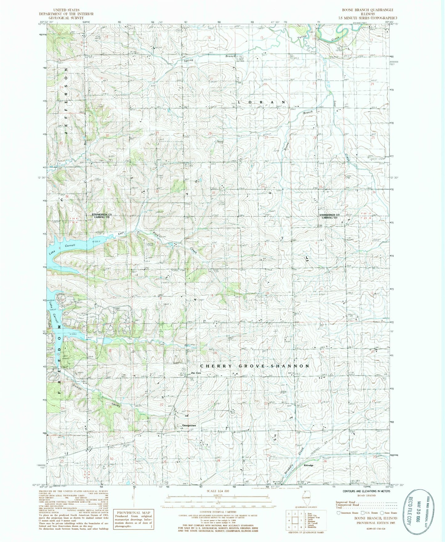
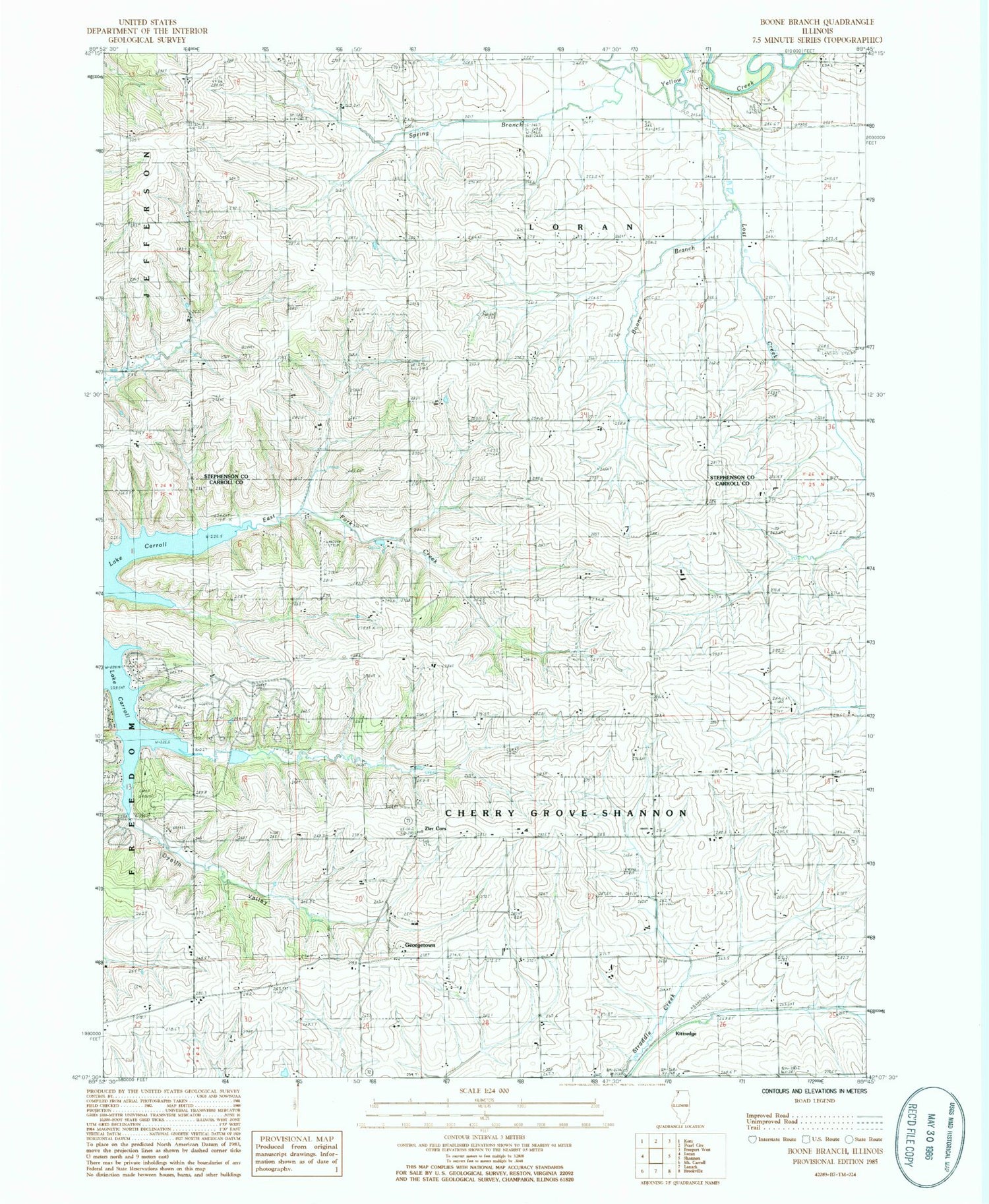
Classic USGS Boone Branch Illinois 7.5'x7.5' Topo Map
Couldn't load pickup availability
Historical USGS topographic quad map of Boone Branch in the state of Illinois. Map scale may vary for some years, but is generally around 1:24,000. Print size is approximately 24" x 27"
This quadrangle is in the following counties: Carroll, Stephenson.
The map contains contour lines, roads, rivers, towns, and lakes. Printed on high-quality waterproof paper with UV fade-resistant inks, and shipped rolled.
Contains the following named places: Block Airport, Boone Branch, Central School, Cherry Grove Brethern Cemetery, Cherry Grove Church of the Brethren, Dyslin Valley, Dyslin Valley School, Georgetown, Hasselman Quarry, Hazel Green School, Hershey School, Kenneth Moll Airport, Kittredge, Lake Carroll Census Designated Place, Lamb School, Lost Creek, Plum Creek Farm Airport, Rogers School, Sabin Cemetery, Sabin Church, Saint Wendelin Cemetery, Spring Branch, Spring Valley Cemetery, Spring Valley School, Straw School, Sturtz Quarry, Swan Valley Farm Airport, Township of Cherry Grove-Shannon, Township of Loran, Valley View School, Watermans Mills, Wolfe Cemetery, Zier Cors


