MyTopo
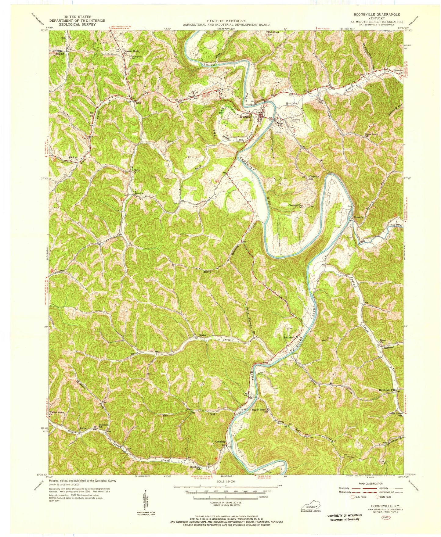
Classic USGS Booneville Kentucky 7.5'x7.5' Topo Map
Couldn't load pickup availability
Historical USGS topographic quad map of Booneville in the state of Kentucky. Map scale may vary for some years, but is generally around 1:24,000. Print size is approximately 24" x 27"
This quadrangle is in the following counties: Lee, Owsley.
The map contains contour lines, roads, rivers, towns, and lakes. Printed on high-quality waterproof paper with UV fade-resistant inks, and shipped rolled.
Contains the following named places: Bear Run, Betty Bowman Creek, Betty Thomas Branch, Blake, Blake Post Office, Boone Spring, Boones Rock, Booneville, Booneville Division, Booneville Owsley Fire Department, Booneville Post Office, Brookside School, Buck Creek, Buck Creek Post Office, Cawood Bend, Chestnut Gap, Chestnut Gap School, Chestnut Neighborhood, City of Booneville, Clifty Church, Conkling, Conkling Post Office, Cow Creek, Do Creek School, Doe Creek, Elk Lick Church, Elk Lick Neighborhood, Essau Church, Essau School, Eversole, Eversole Post Office, Fish Creek, Fish Creek School, Gabbard Branch, Gilbert Branch, Greenville Hollow, Griffith Cemetery, High Rock Mountain, Hogg Neighborhood, Horse Branch, Howard Cemetery, Howland Chapel, Indian Creek, Left Fork Island Creek, Levi, Levi Post Office, Lower Island Creek, Lower Wolf Creek, Major, Major Post Office, McGuire Fork, McIntosh Cemetery, Meadow Creek, Mill Town Branch, Mine Knob, Mud Lick, Owsely County High School, Owsley County, Owsley County Sheriff's Office, Peachtree Branch, Pendergrass Cemetery, Pleasant Grove School, Pleasant Neighborhood, Posey Post Office, Rowland Branch, Scoville, Scoville High School, Scoville Post Office, Shepherd Cemetery, Southfork, Southfork Post Office, Spencer Church, Sugar Camp Creek, Sugar Camp Neighborhood, Sugar Camp School, The Sag, Turin Post Office, Turkey Knob, Upper Wolf Creek, Upper Wolf Creek School, Walnut Grove Church, White Oak Creek, White Oak School, ZIP Code: 41314


