MyTopo
Classic USGS Boonville Missouri 7.5'x7.5' Topo Map
Couldn't load pickup availability
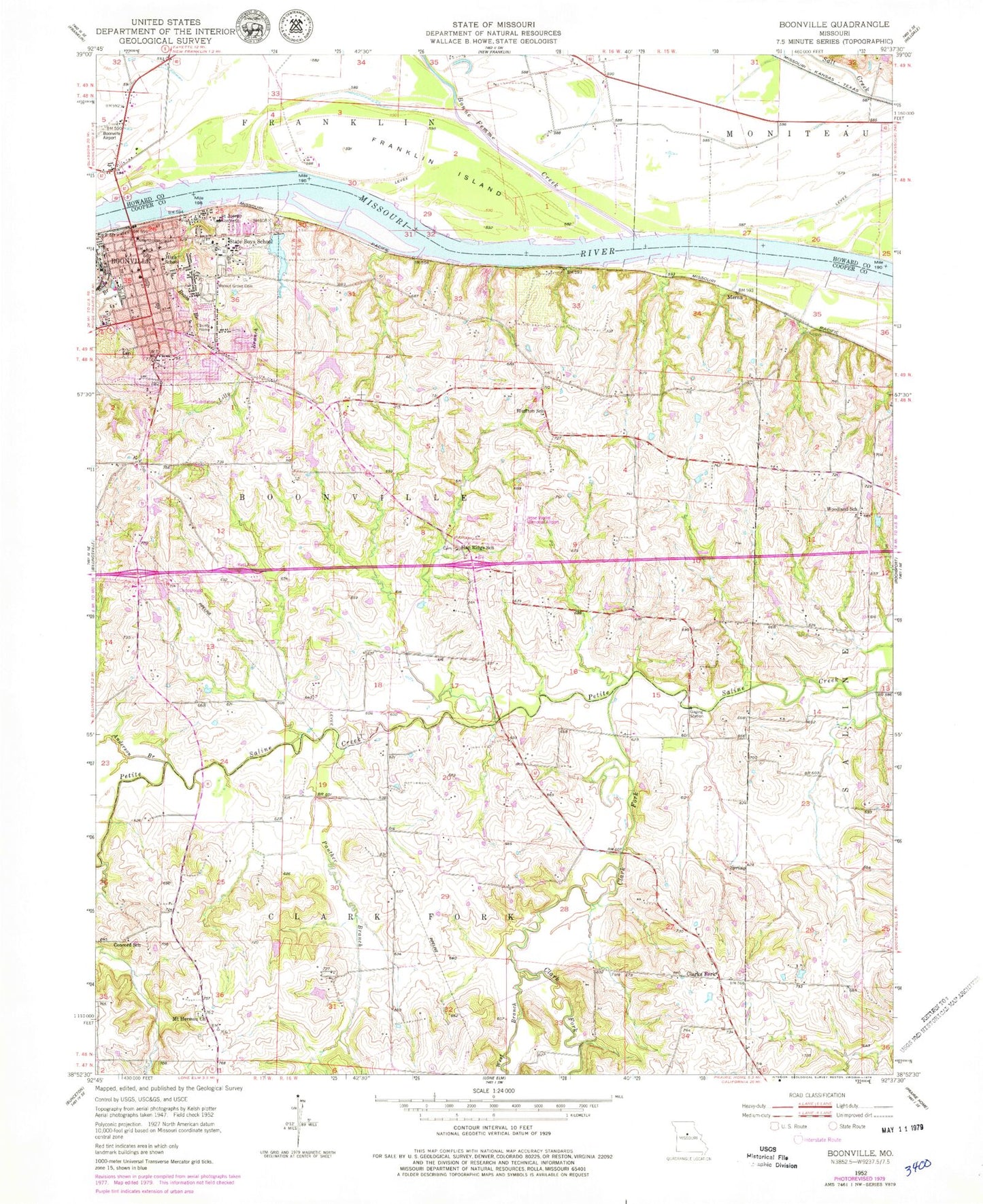
Historical USGS topographic quad map of Boonville in the state of Missouri. Map scale may vary for some years, but is generally around 1:24,000. Print size is approximately 24" x 27"
This quadrangle is in the following counties: Cooper, Howard.
The map contains contour lines, roads, rivers, towns, and lakes. Printed on high-quality waterproof paper with UV fade-resistant inks, and shipped rolled.
Contains the following named places: Anderson Branch, Bluffton School, Bonne Femme Creek, Boonville, Boonville Correctional Center, Boonville Fire Department, Boonville Police Department, Boonville Post Office, Central Elementary School, City of Boonville, Clark Fork, Clarks Fork, Concord School, Cooper County Fire Department, Cooper County Fire Protection District Station 1, Cooper County Home, Cooper County Memorial Hospital, Cooper County Sheriff's Office, Crab Orchard School, David Barton Elementary School, Dodson School, Fairview School, Franklin Bend, Franklin Island, Franklin Island Reach, Hail Ridge School, Jesse Viertel Memorial Airport, Laura Speed Elliott Middle School, Lilly Branch, Merna, Mount Hermon Church, Mount Sinai School, Number 226 Reservoir, Panther Branch, Pleasant Valley School, Ream Branch, Rolfling Lake, Rolfling Lake Section 36 Dam, Rolfling Lake Section 6 Dam, Saint Joseph Convent, Saints Peter and Paul Catholic School, Schnuck Lake Dam, Smith Lake Dam, State Boys School, Stoelting Dam, Stoelting Lake, Sumner School, Village of Windsor Place, Walnut Grove Cemetery, West Branch Clark Fork, Windmill Campground Dam, Windsor Place, Windsor Place Number 1 Dam, Windsor Place Number 2 Dam, Woodland School, ZIP Code: 65233


