MyTopo
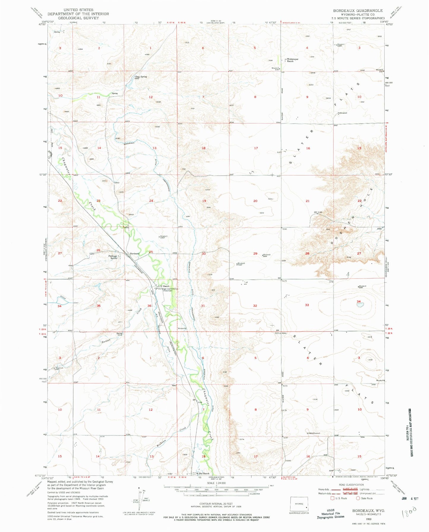
Classic USGS Bordeaux Wyoming 7.5'x7.5' Topo Map
Couldn't load pickup availability
Historical USGS topographic quad map of Bordeaux in the state of Wyoming. Map scale may vary for some years, but is generally around 1:24,000. Print size is approximately 24" x 27"
This quadrangle is in the following counties: Platte.
The map contains contour lines, roads, rivers, towns, and lakes. Printed on high-quality waterproof paper with UV fade-resistant inks, and shipped rolled.
Contains the following named places: Big Meadow Ditch, Bordeaux, Bordeaux Ditch, Chug Spring, Clearwater Dam, Clearwater Reservoir, Hal Dam, Hal Number 2 Dam, Hal Number 2 Reservoir, Hal Reservoir, Hunton Creek, Ken Number 1 Dam, Ken Number 1 Reservoir, L D Ranch, M Bar Ranch, Phillippi Ranch, Pump Dam, Pump Reservoir, Richeau Creek, Slater Census Designated Place, Slater Flats, Wedemeyer Ranch, Wyatt Number 2 Dam, Wyatt Reservoir Number 2