MyTopo
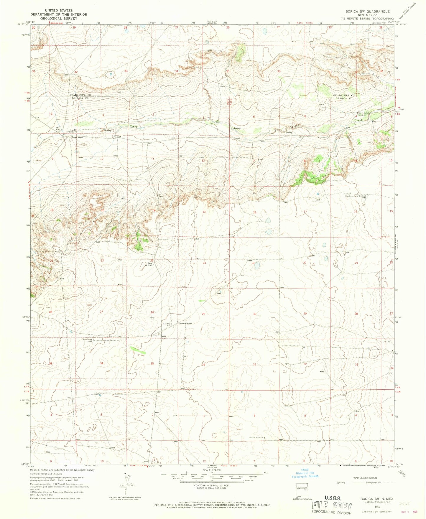
Classic USGS Borica SW New Mexico 7.5'x7.5' Topo Map
Couldn't load pickup availability
Historical USGS topographic quad map of Borica SW in the state of New Mexico. Map scale may vary for some years, but is generally around 1:24,000. Print size is approximately 24" x 27"
This quadrangle is in the following counties: De Baca, Guadalupe.
The map contains contour lines, roads, rivers, towns, and lakes. Printed on high-quality waterproof paper with UV fade-resistant inks, and shipped rolled.
Contains the following named places: 10888 Water Well, 10889 Water Well, 10890 Water Well, 10891 Water Well, 10893 Water Well, 10894 Water Well, 10895 Water Well, 10896 Water Well, 10897 Water Well, 10900 Water Well, 10901 Water Well, Gillum Windmill, Good Ranch, High Lonesome Windmill, North Salado Windmill, Overton Ranch