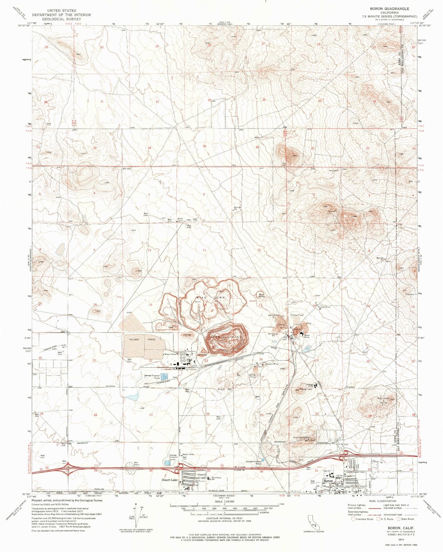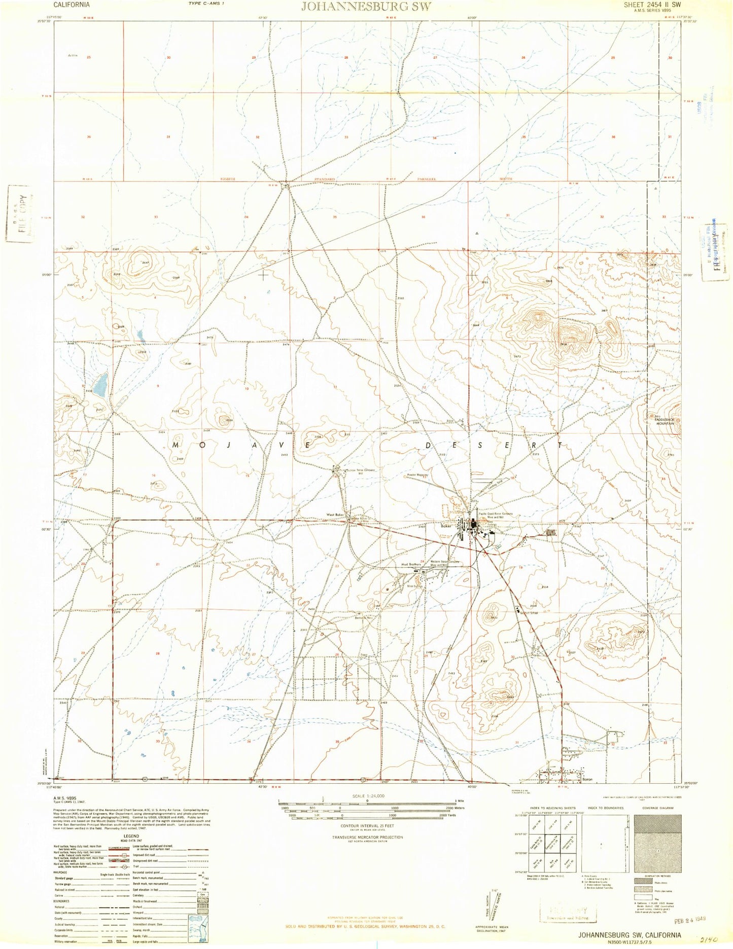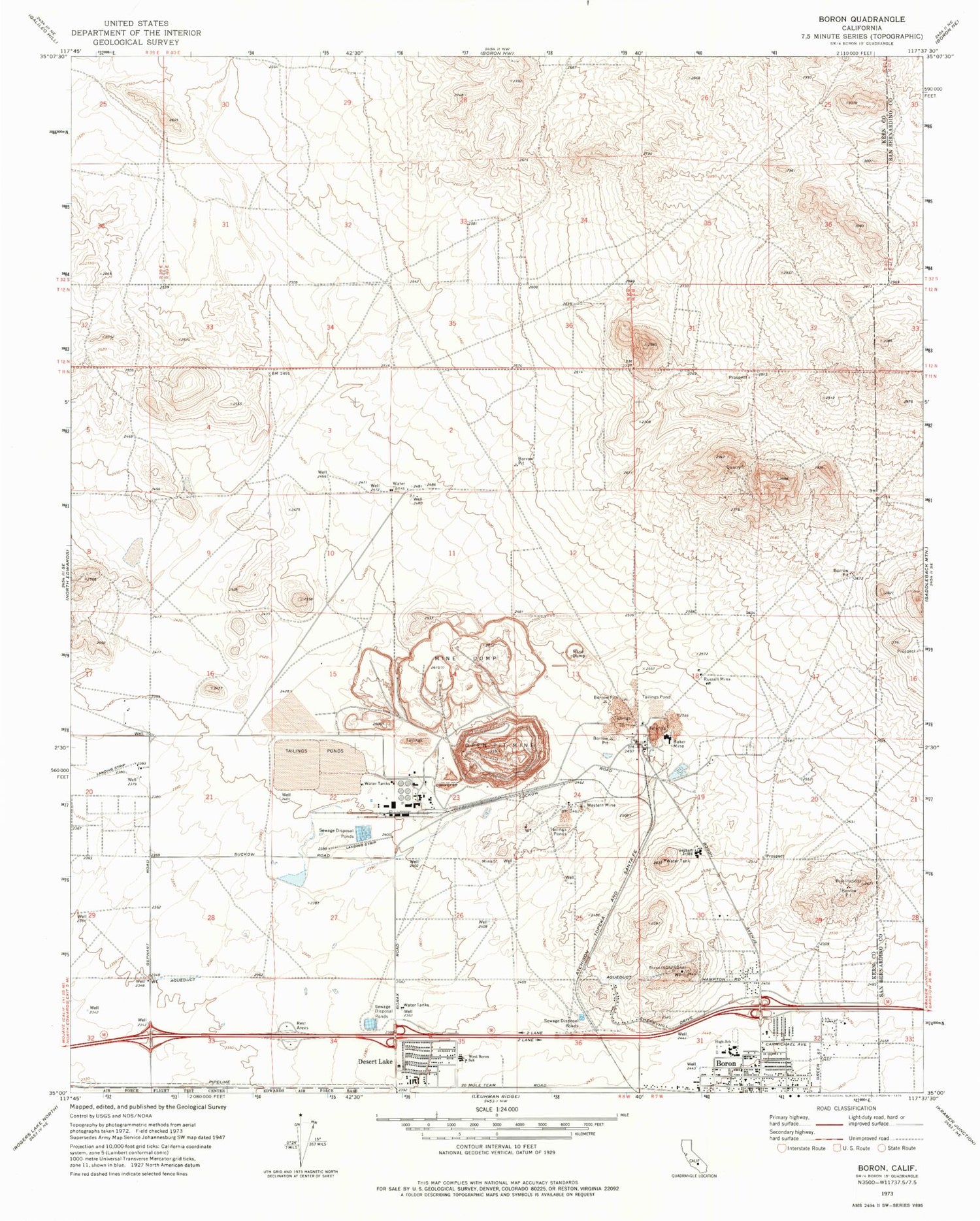
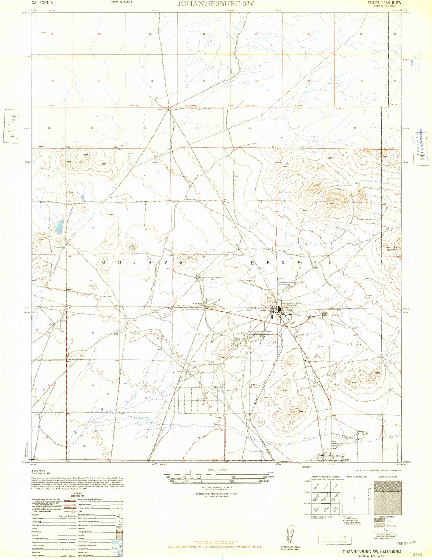
MyTopo
Classic USGS Boron California 7.5'x7.5' Topo Map
Couldn't load pickup availability
Historical USGS topographic quad map of Boron in the state of California. Map scale may vary for some years, but is generally around 1:24,000. Print size is approximately 24" x 27"
This quadrangle is in the following counties: Kern, San Bernardino.
The map contains contour lines, roads, rivers, towns, and lakes. Printed on high-quality waterproof paper with UV fade-resistant inks, and shipped rolled.
Contains the following named places: Baker, Baker Mine, Borax Airport, Boron Census Designated Place, Boron Health Center, Boron Junior Senior High School, Boron Post Office, Boron T Pond 5 738-002 Dam, Boron T Pond 6 738-003 Dam, Boron Tailings Pd 738 Dam, Desert Lake, Gephart Junior High School, Jennifer Mine, Kern County Fire Department Station 17 Boron, Kern County Sheriff's Office, Rio Tinto Minerals - Boron Operations Emergency Medical Services, Russell Mine, Watershed Reservoir, West Baker, West Boron Elementary School, Western Mine, ZIP Code: 93516