MyTopo
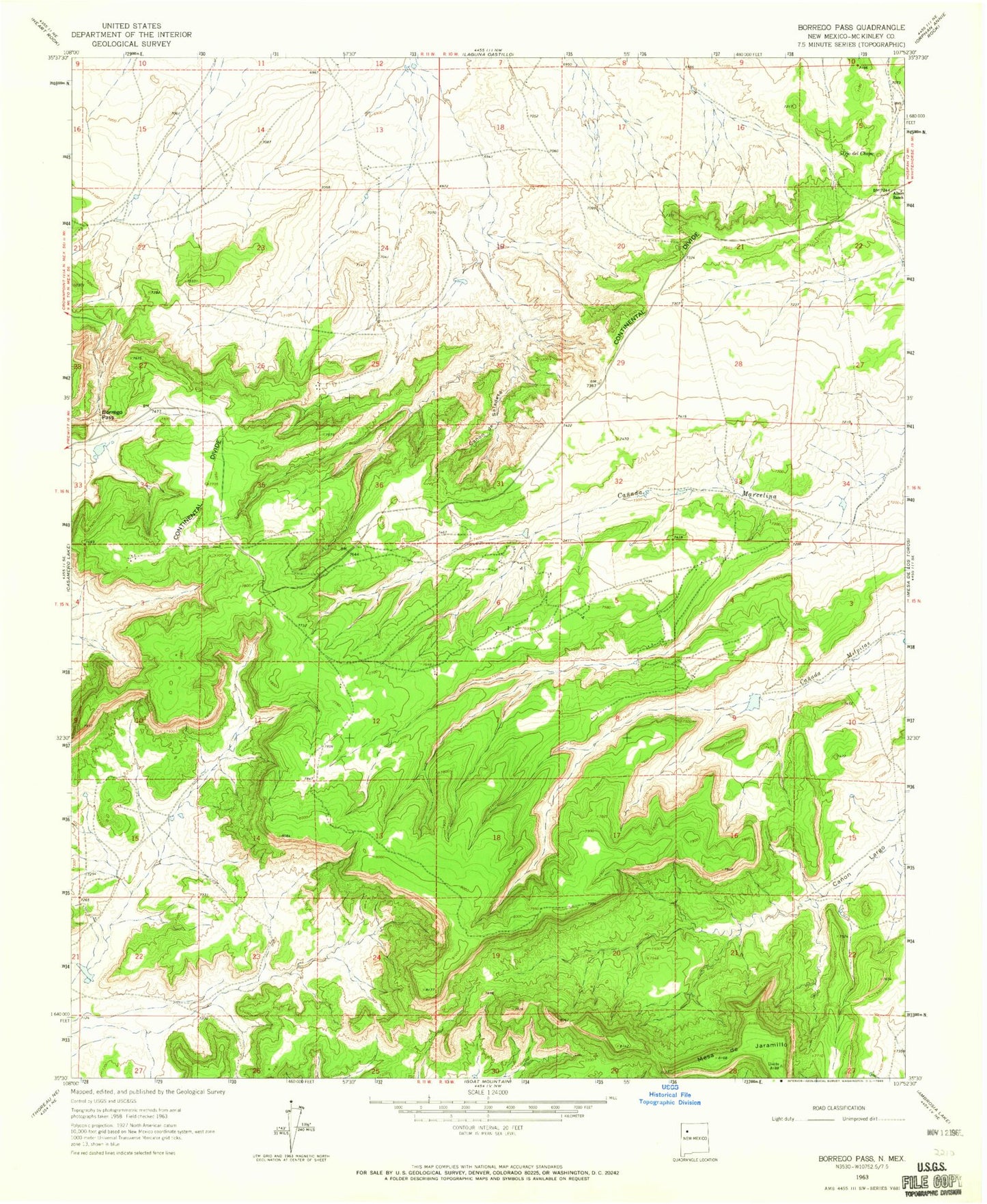
Classic USGS Borrego Pass New Mexico 7.5'x7.5' Topo Map
Couldn't load pickup availability
Historical USGS topographic quad map of Borrego Pass in the state of New Mexico. Map scale may vary for some years, but is generally around 1:24,000. Print size is approximately 24" x 27"
This quadrangle is in the following counties: McKinley.
The map contains contour lines, roads, rivers, towns, and lakes. Printed on high-quality waterproof paper with UV fade-resistant inks, and shipped rolled.
Contains the following named places: 15K-338 Water Well, 15T-537 Water Well, 16T-561A Water Well, 223-18 Water Well, 80-1 Water Well, Albers Ranch, Barbara J HZ Mine, Borrego Pass, Borrego Pass Trading Post, Canon de Saladeta Canyon, Hall, Holly Mine, Mesa de Jaramillo, Mesa Top Mine, Number 4 Moe Mine, Ojo del Chopo, Tiejen Mine