MyTopo
Classic USGS Borrego Sink California 7.5'x7.5' Topo Map
Couldn't load pickup availability
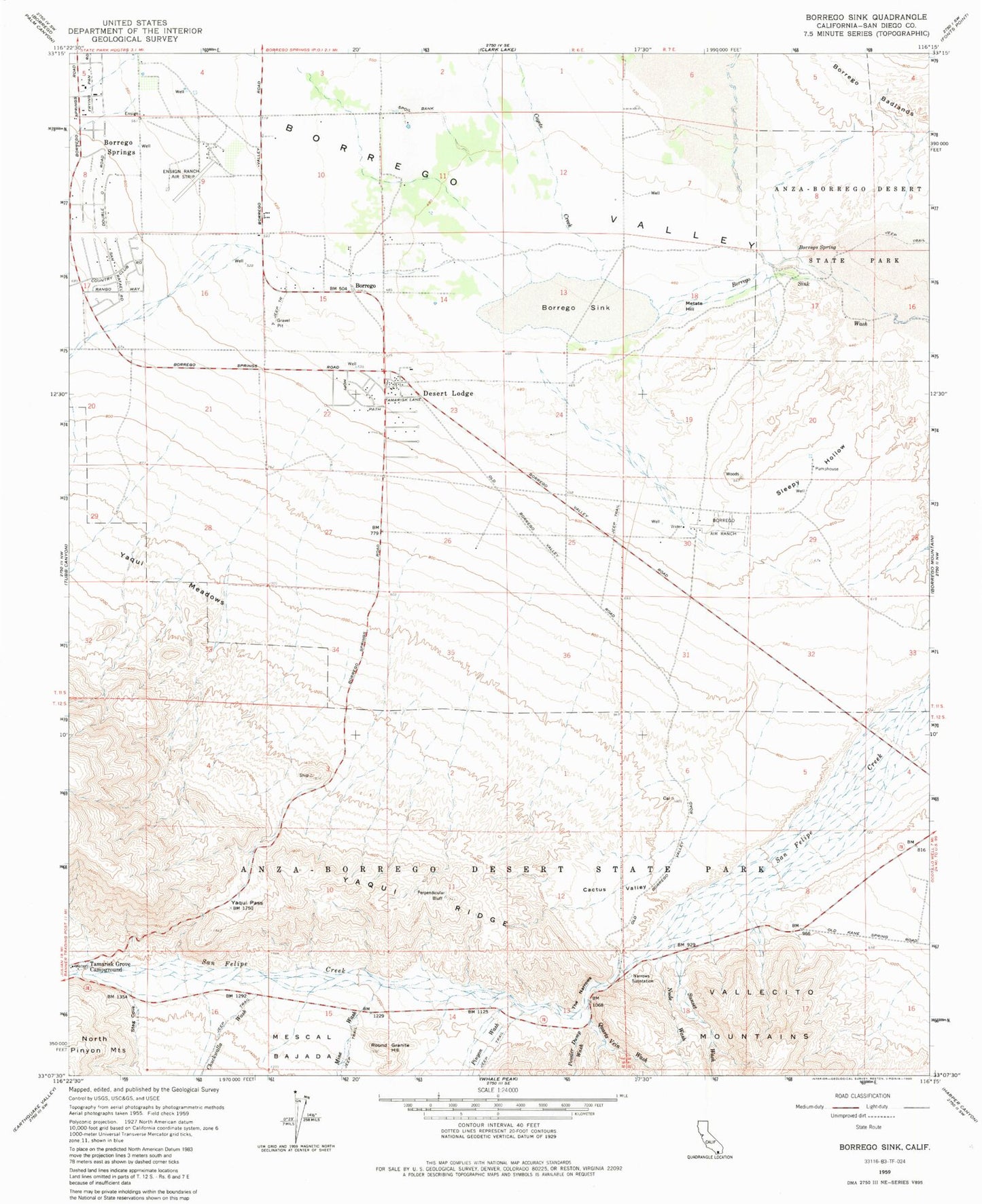
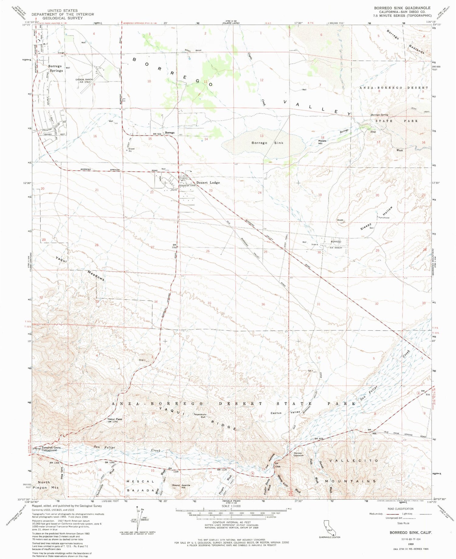
Historical USGS topographic quad map of Borrego Sink in the state of California. Map scale may vary for some years, but is generally around 1:24,000. Print size is approximately 24" x 27"
This quadrangle is in the following counties: San Diego.
The map contains contour lines, roads, rivers, towns, and lakes. Printed on high-quality waterproof paper with UV fade-resistant inks, and shipped rolled.
Contains the following named places: Anza-Borrego Desert State Park, Borrego, Borrego Air Ranch Airport, Borrego Community Health Foundation, Borrego Sink, Borrego Spring, Borrego Springs Census Designated Place, Cactus Loop Trail, Cactus Valley, Chuckwalla Wash, Club Circle Golf Course, Coyote Creek, Desert Lodge, Ensign Ranch Air Strip, Kenyon Overlook Trail, Mescal Bajada Overlook, Metate Hill, Mine Wash, Narrows Earth Trail, Narrows Substation, Nude Wash, Perpendicular Bluff, Pinyon Wash, Powder Dump Wash, Quartz Vein Wash, Rams Hill Country Club, Round Granite Hill, Silver Dons Mobile Home Park, Sleepy Hollow, Stag Cove, Sunset Wash, The Narrows, Yaqui Meadows, Yaqui Pass, Yaqui Pass Dry Camp, Yaqui Ridge


