MyTopo
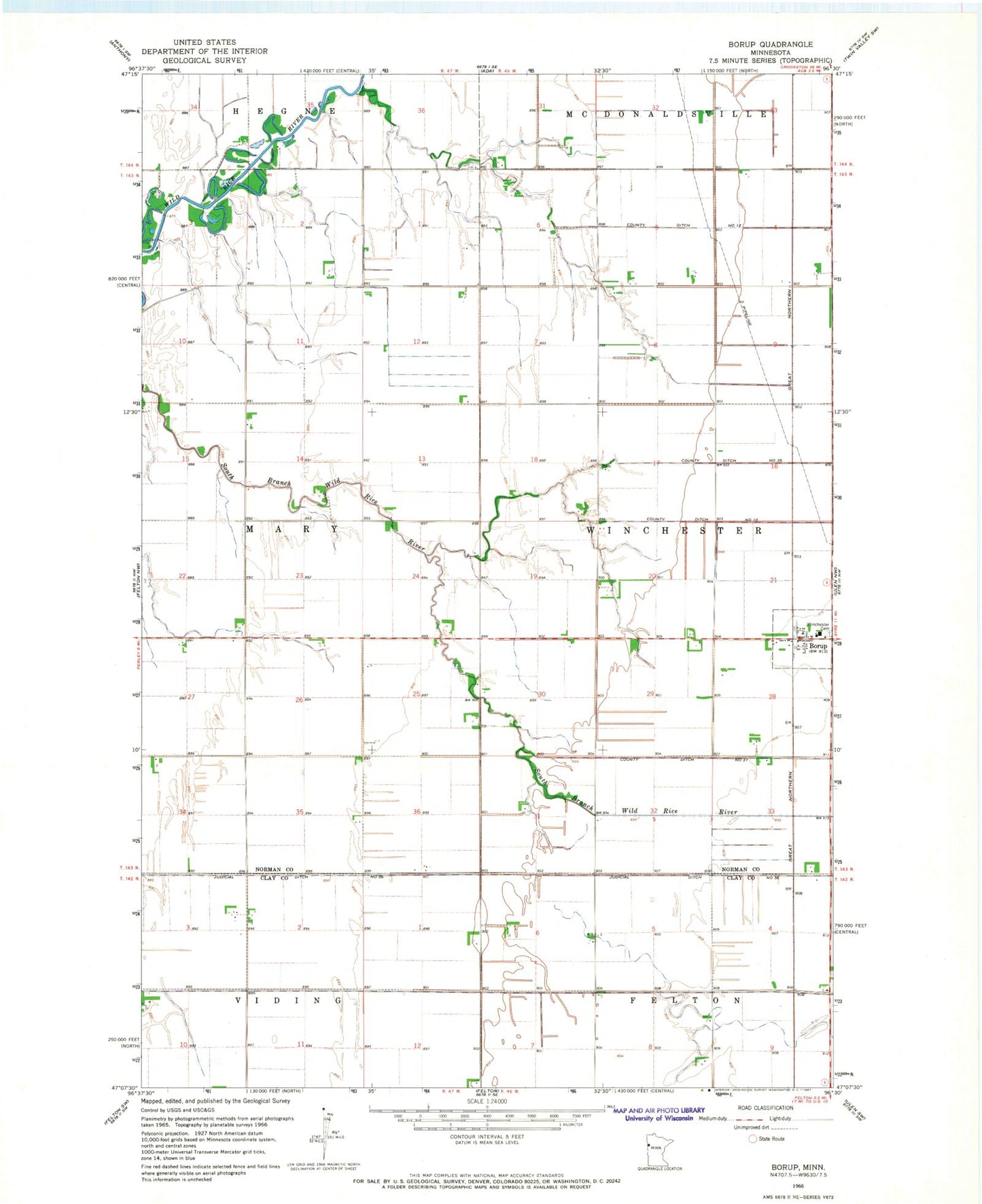
Classic USGS Borup Minnesota 7.5'x7.5' Topo Map
Couldn't load pickup availability
Historical USGS topographic quad map of Borup in the state of Minnesota. Map scale may vary for some years, but is generally around 1:24,000. Print size is approximately 24" x 27"
This quadrangle is in the following counties: Clay, Norman.
The map contains contour lines, roads, rivers, towns, and lakes. Printed on high-quality waterproof paper with UV fade-resistant inks, and shipped rolled.
Contains the following named places: Borup, Borup Post Office, Borup School, Borup Volunteer Fire Department, City of Borup, Compressor Station 2207 Heliport, German Methodist Cemetery, Judicial Ditch Number Fiftysix, Noble Post Office, Township of Winchester, Wheatville, Wheatville Post Office, Winchester Cemetery, Winchester Lutheran Church