MyTopo
Classic USGS Bosebuck Mountain Maine 7.5'x7.5' Topo Map
Couldn't load pickup availability
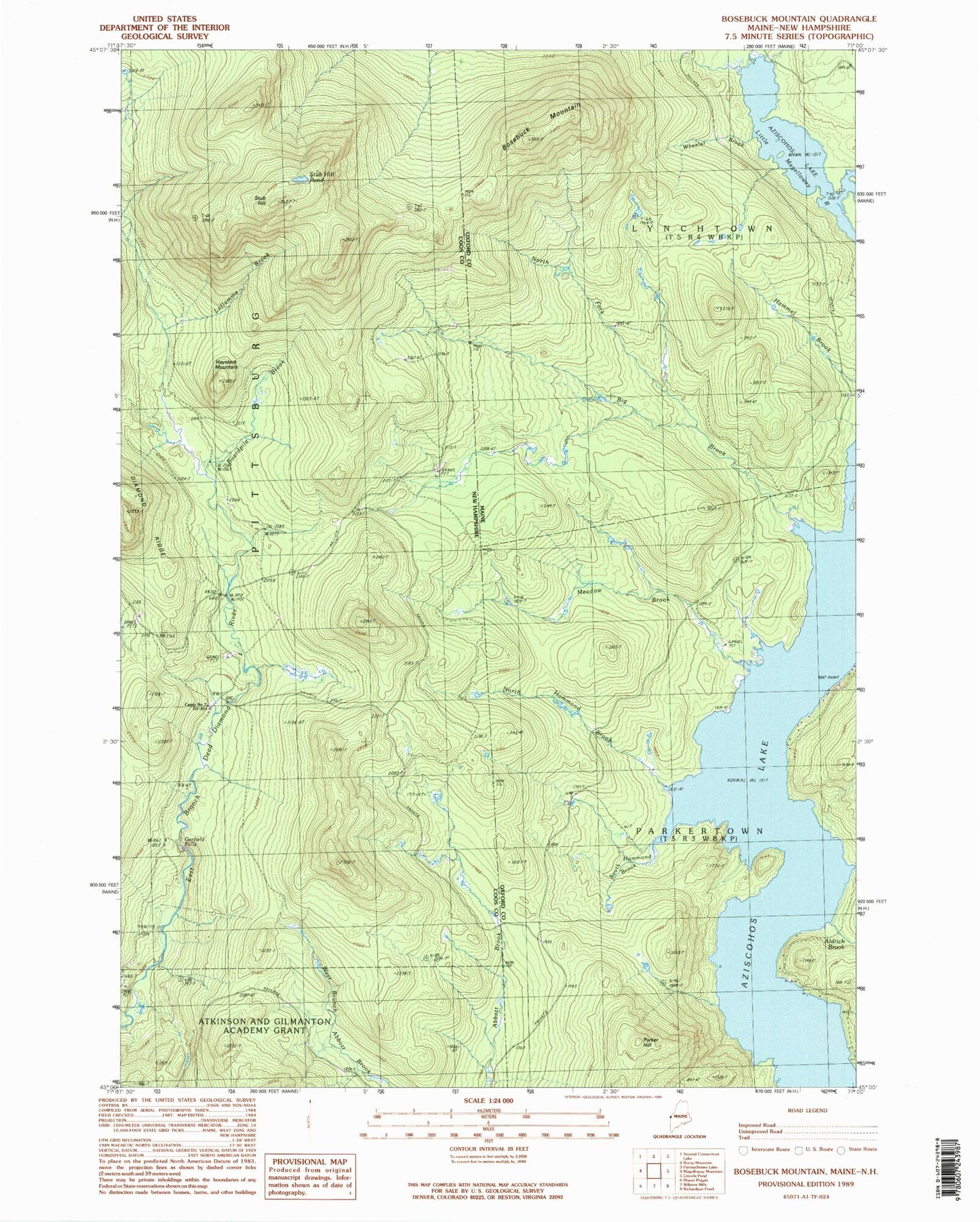
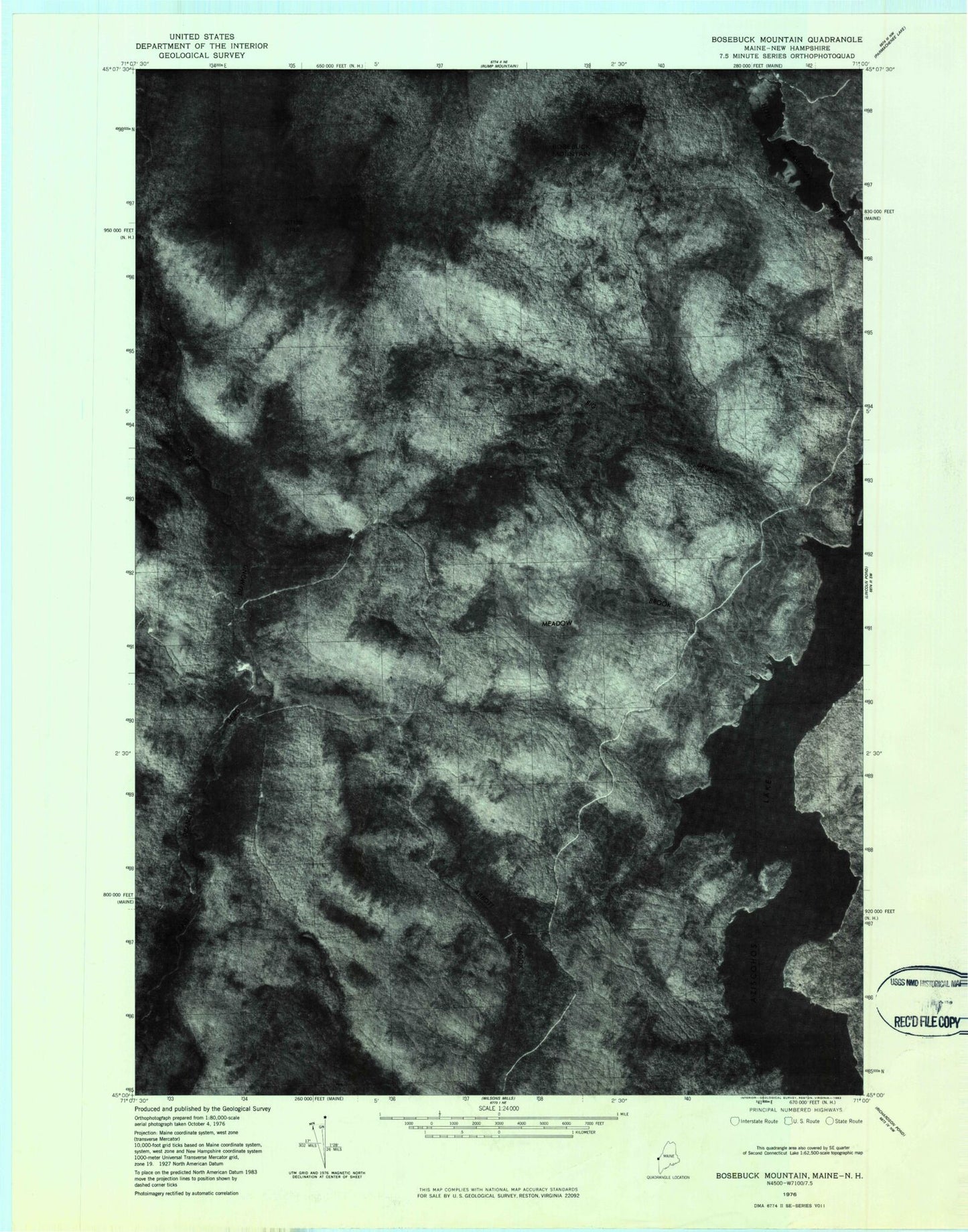
Historical USGS topographic quad map of Bosebuck Mountain in the states of Maine, New Hampshire. Typical map scale is 1:24,000, but may vary for certain years, if available. Print size: 24" x 27"
This quadrangle is in the following counties: Coos, Oxford.
The map contains contour lines, roads, rivers, towns, and lakes. Printed on high-quality waterproof paper with UV fade-resistant inks, and shipped rolled.
Contains the following named places: Aldrich Brook, Big Brook, Bosebuck Mountain, Lincoln Brook, Meadow Brook, North Fork Big Brook, North Hammond Brook, Parker Hill, South Hammond Brook, Wheeler Brook, Boardpile Brook, Camp Number 7, East Branch Dead Diamond River, Garfield Falls, Haystack Mountain, Stub Hill, La Flamme Brook, Stub Hill Pond, Camp Number 31 (historical)