MyTopo
Classic USGS Bossburg Washington 7.5'x7.5' Topo Map
Regular price
$16.95
Regular price
Sale price
$16.95
Unit price
per
Couldn't load pickup availability
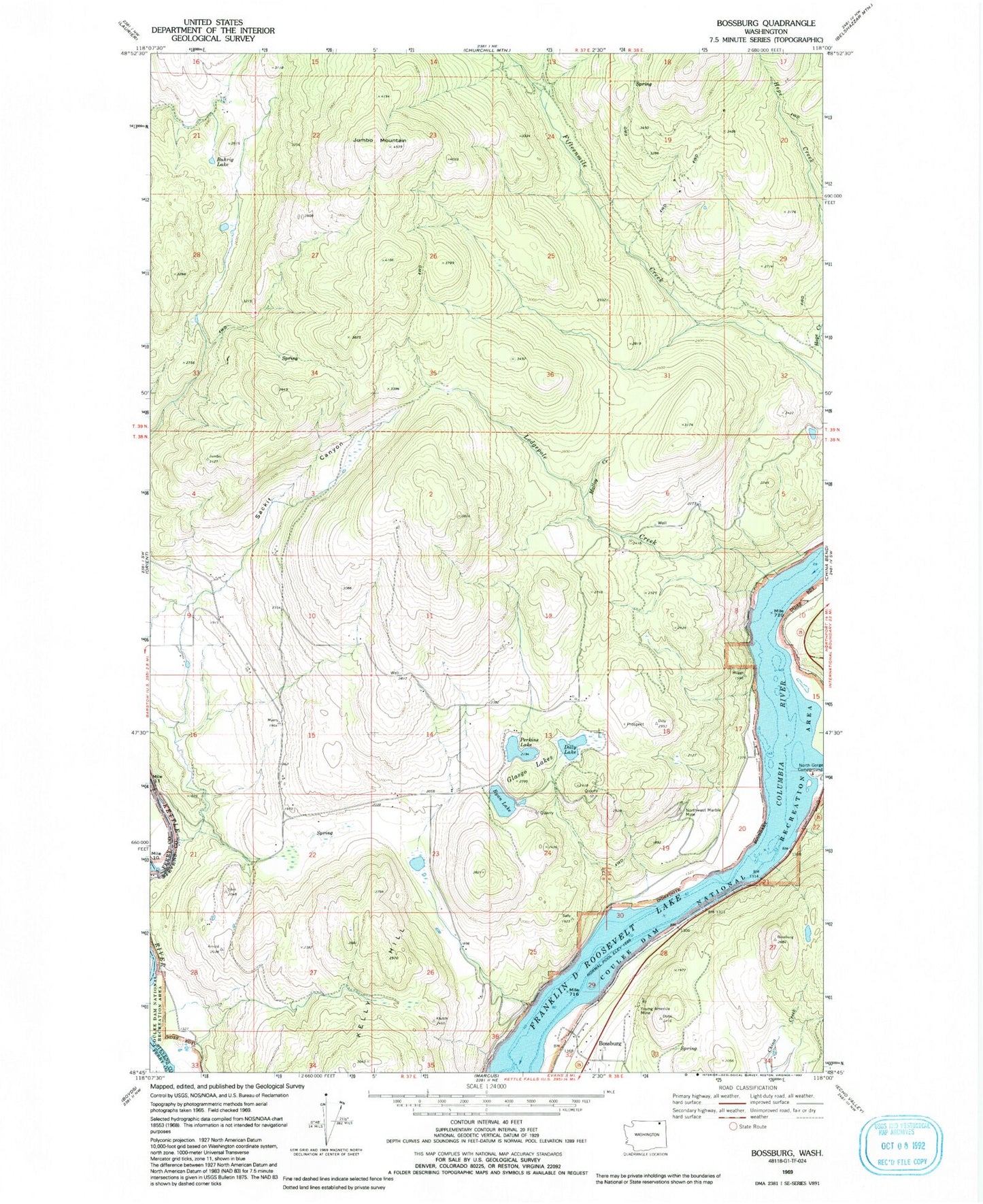
Historical USGS topographic quad map of Bossburg in the state of Washington. Map scale may vary for some years, but is generally around 1:24,000. Print size is approximately 24" x 27"
This quadrangle is in the following counties: Ferry, Stevens.
The map contains contour lines, roads, rivers, towns, and lakes. Printed on high-quality waterproof paper with UV fade-resistant inks, and shipped rolled.
Contains the following named places: Bossburg, Buhrig Lake, Dilly Lake, Glasgo Lakes, Jumbo Mountain, Lodgepole Creek, Malloy Creek, North Gorge Campground, Northwest Marble Mine, Perkins Lake, Ryan Lake, Sackit Canyon, Spion Kop, Young America Mine