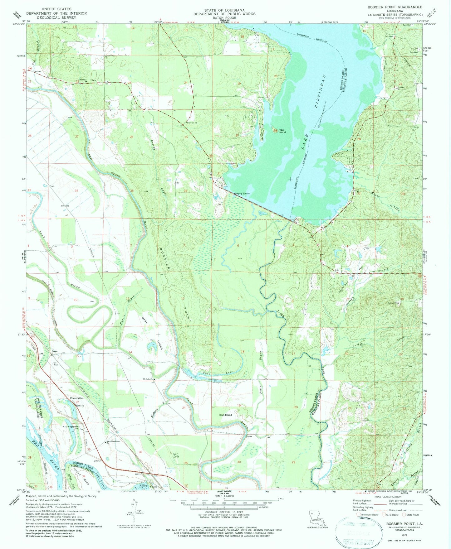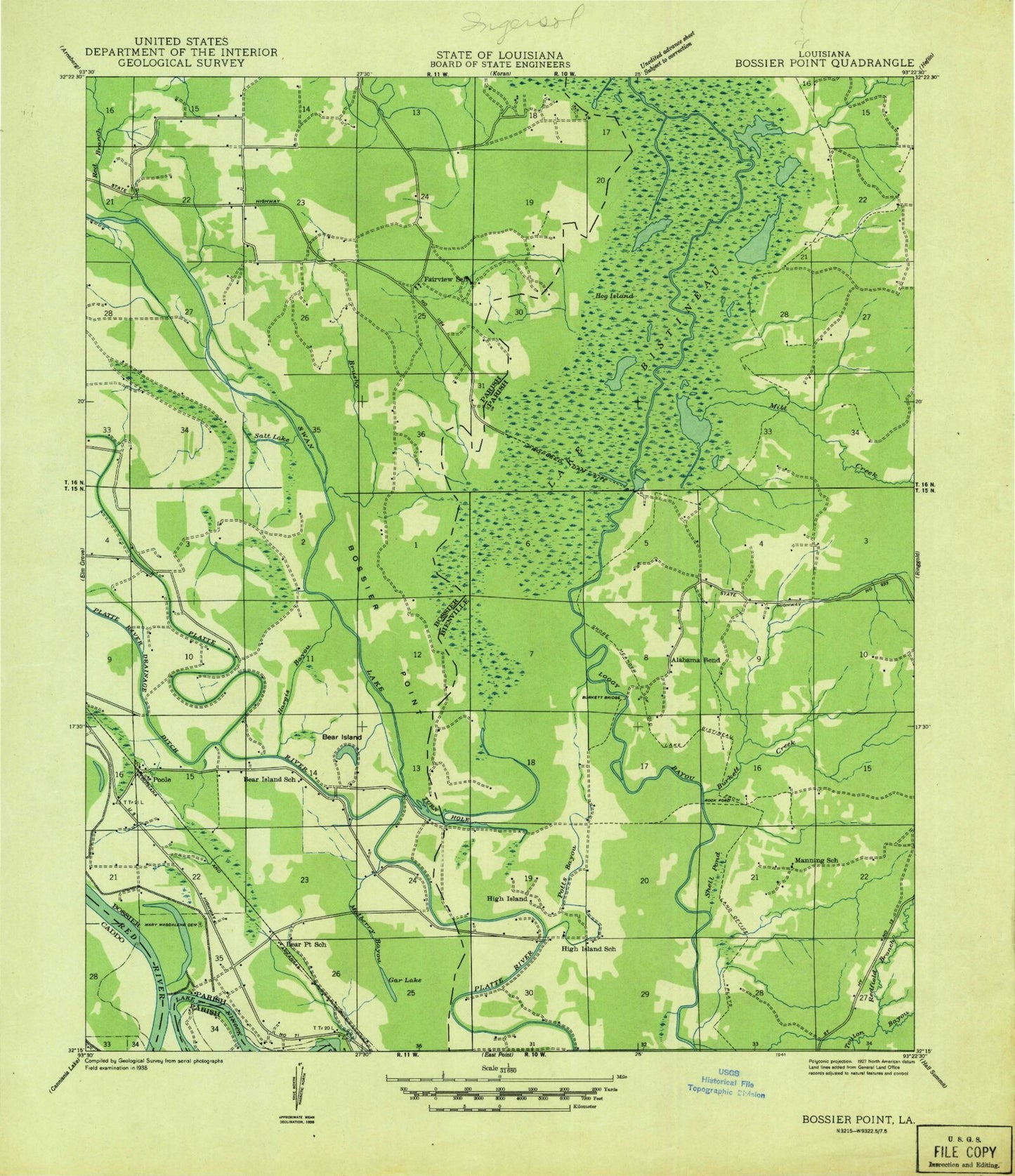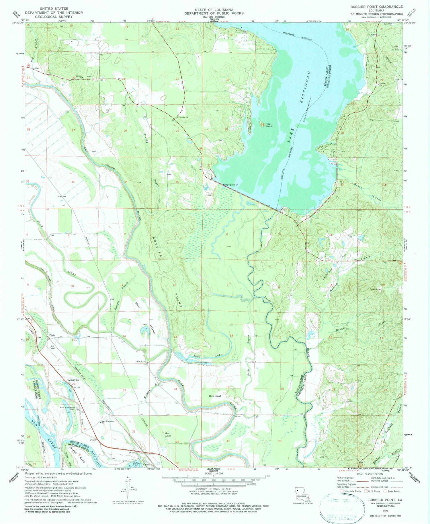

MyTopo
Classic USGS Bossier Point Louisiana 7.5'x7.5' Topo Map
Couldn't load pickup availability
Historical USGS topographic quad map of Bossier Point in the state of Louisiana. Map scale may vary for some years, but is generally around 1:24,000. Print size is approximately 24" x 27"
This quadrangle is in the following counties: Bienville, Bossier, Caddo.
The map contains contour lines, roads, rivers, towns, and lakes. Printed on high-quality waterproof paper with UV fade-resistant inks, and shipped rolled.
Contains the following named places: Alabama Bend Oil Field, Bayou la Ville, Bear Island, Bear Point School, Bienville Parish Fire Protection District Wards 4 and 5 Station 7, Bossier Point, Brushy Bayou, Burkett Creek, Connely School, Cooterville, Fairview Church, Gar Lake, Grand Bend, Hargis Bayou, High Island, Hog Island, Lake Bistineau Dam, Lake Ninock, Loggy Bayou Plantation Airport, Mary Magdalene Cemetery, Mary Magdalene Church, Mill Creek, Morrow Branch, Mount Nebo Church, Mount Ollie Church, Mulberry Bayou, Poole, Potts Bayou, Red Branch, Red Chute Bayou, Redfield Branch, Sanders Creek, South Bossier Volunteer Fire Department Station 2, South Bossier Volunteer Fire Department Station 6, Swan Lake, Swan Lake Oil Field, Tarvers Point, Twin Hole, Vickers Landing, ZIP Code: 71051