MyTopo
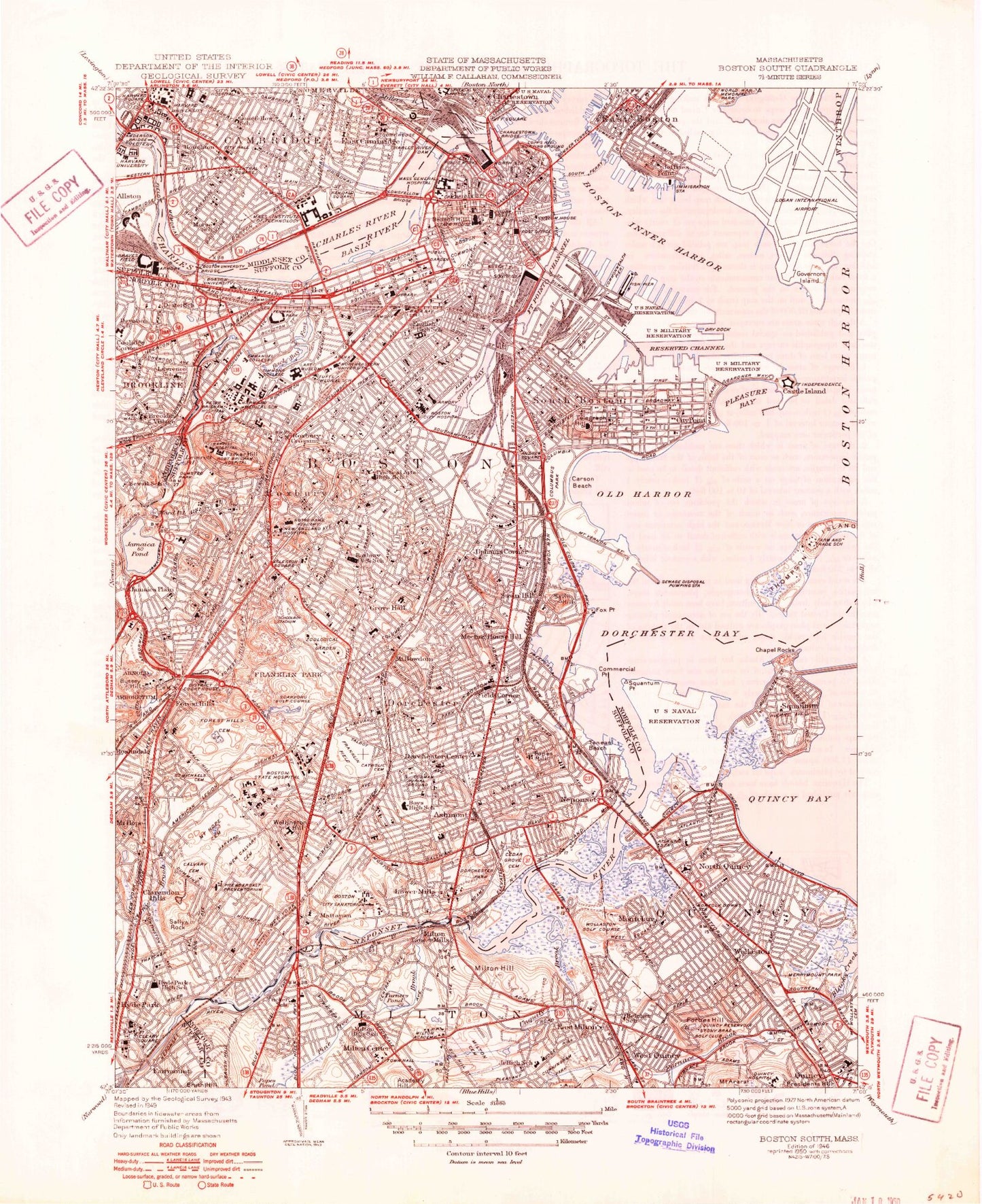
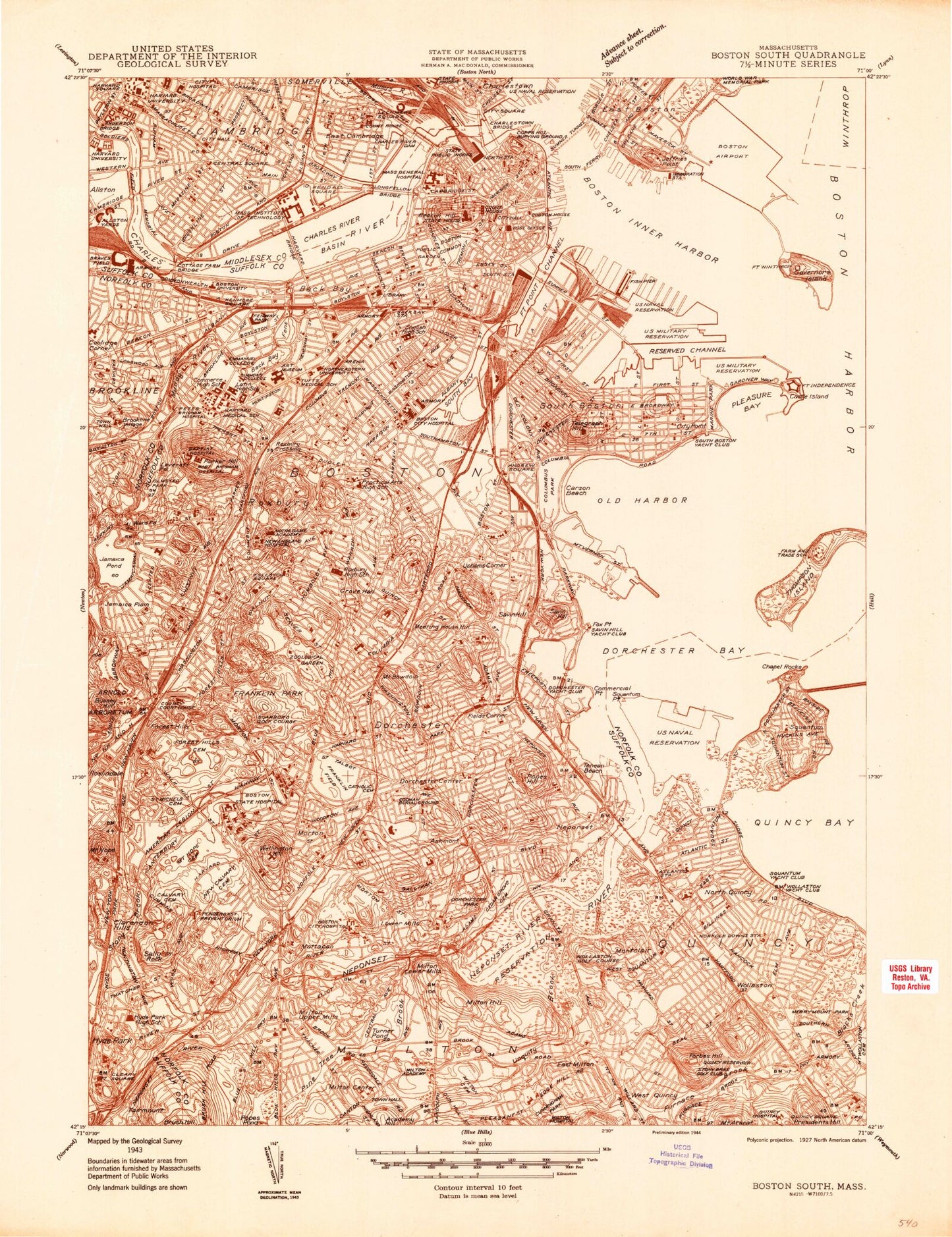
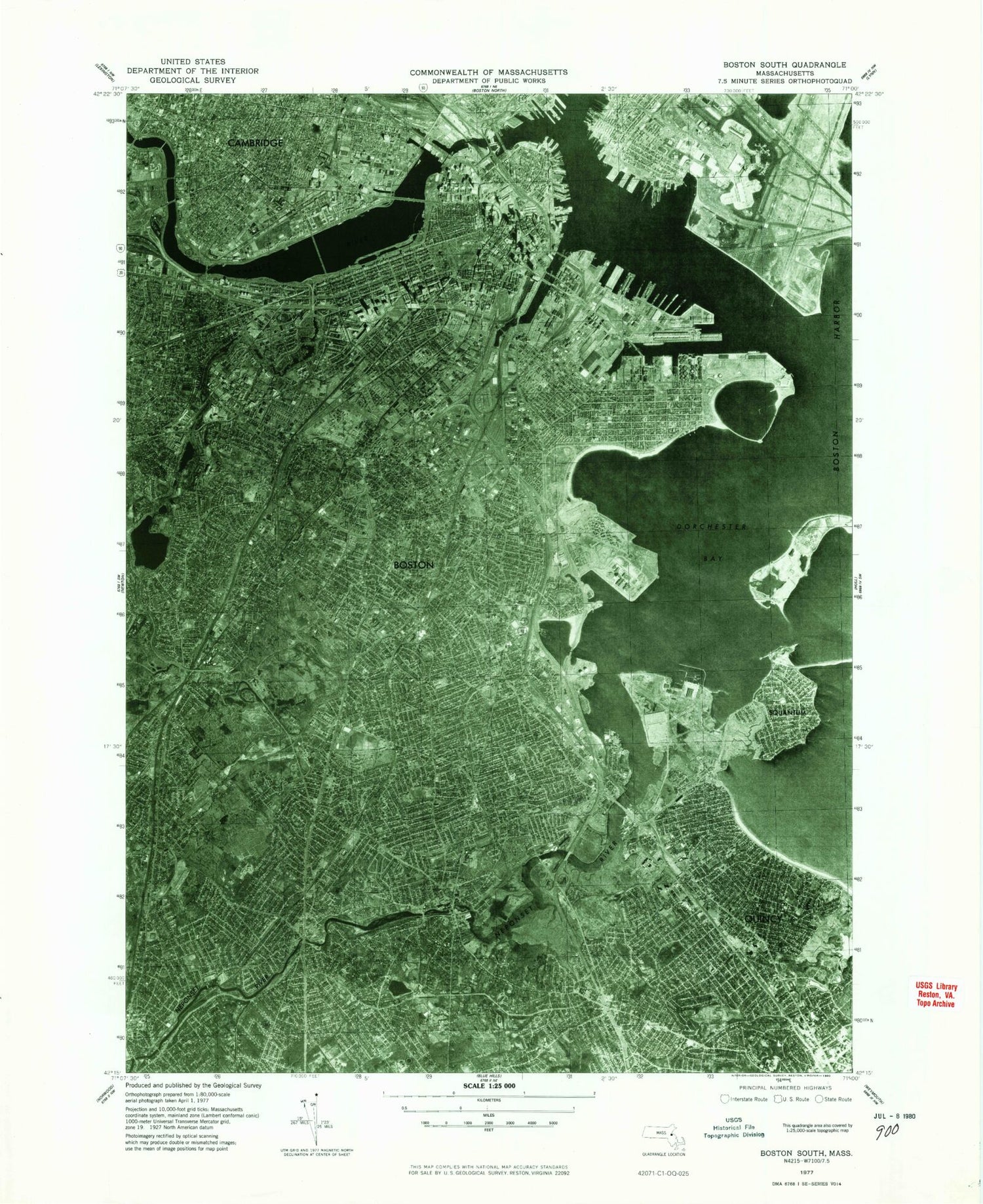
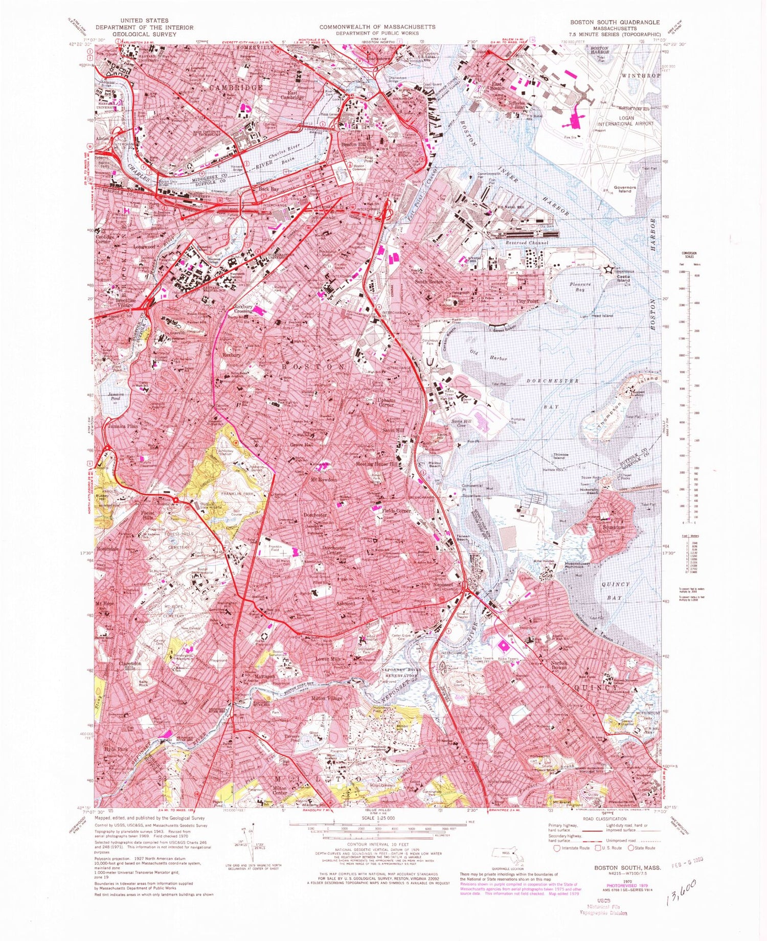
Classic USGS Boston South Massachusetts 7.5'x7.5' Topo Map
Couldn't load pickup availability
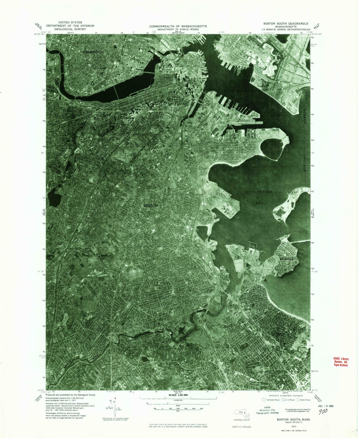
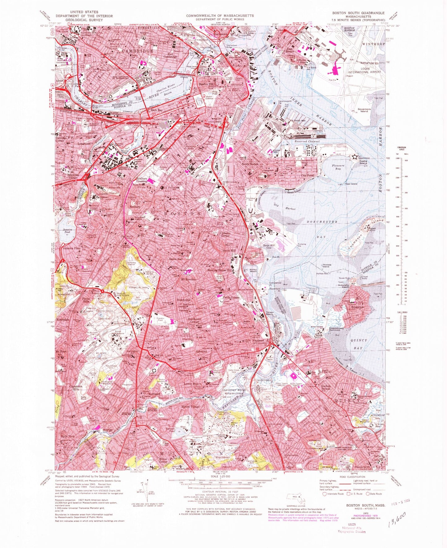
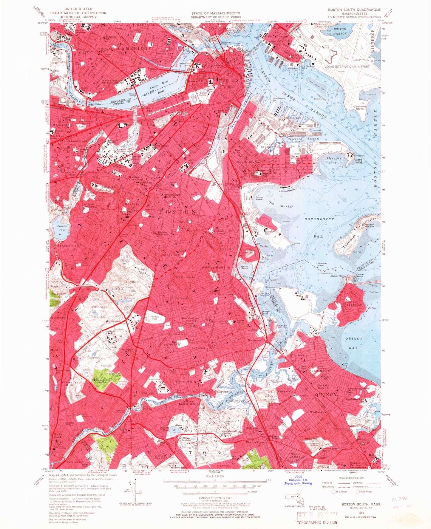
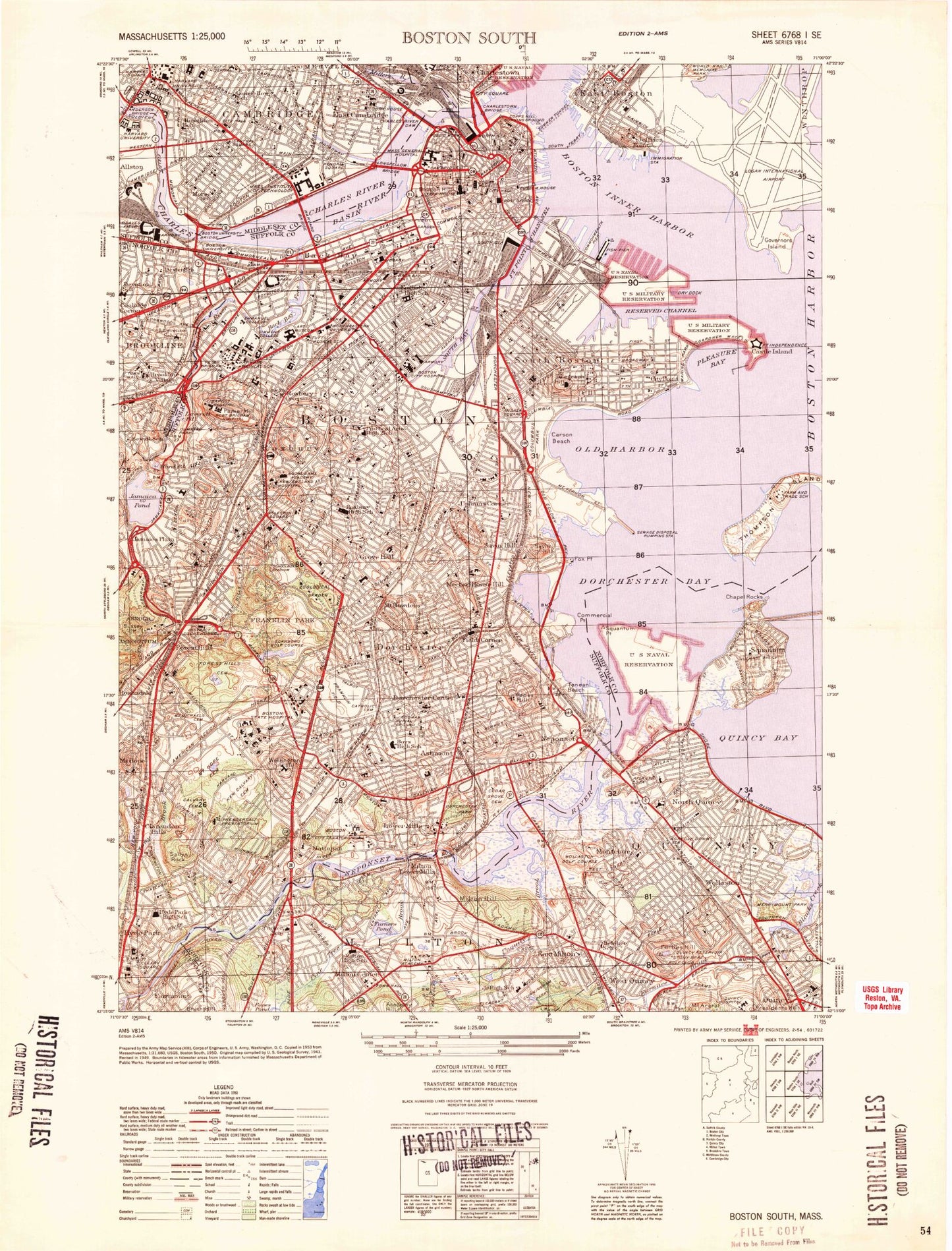
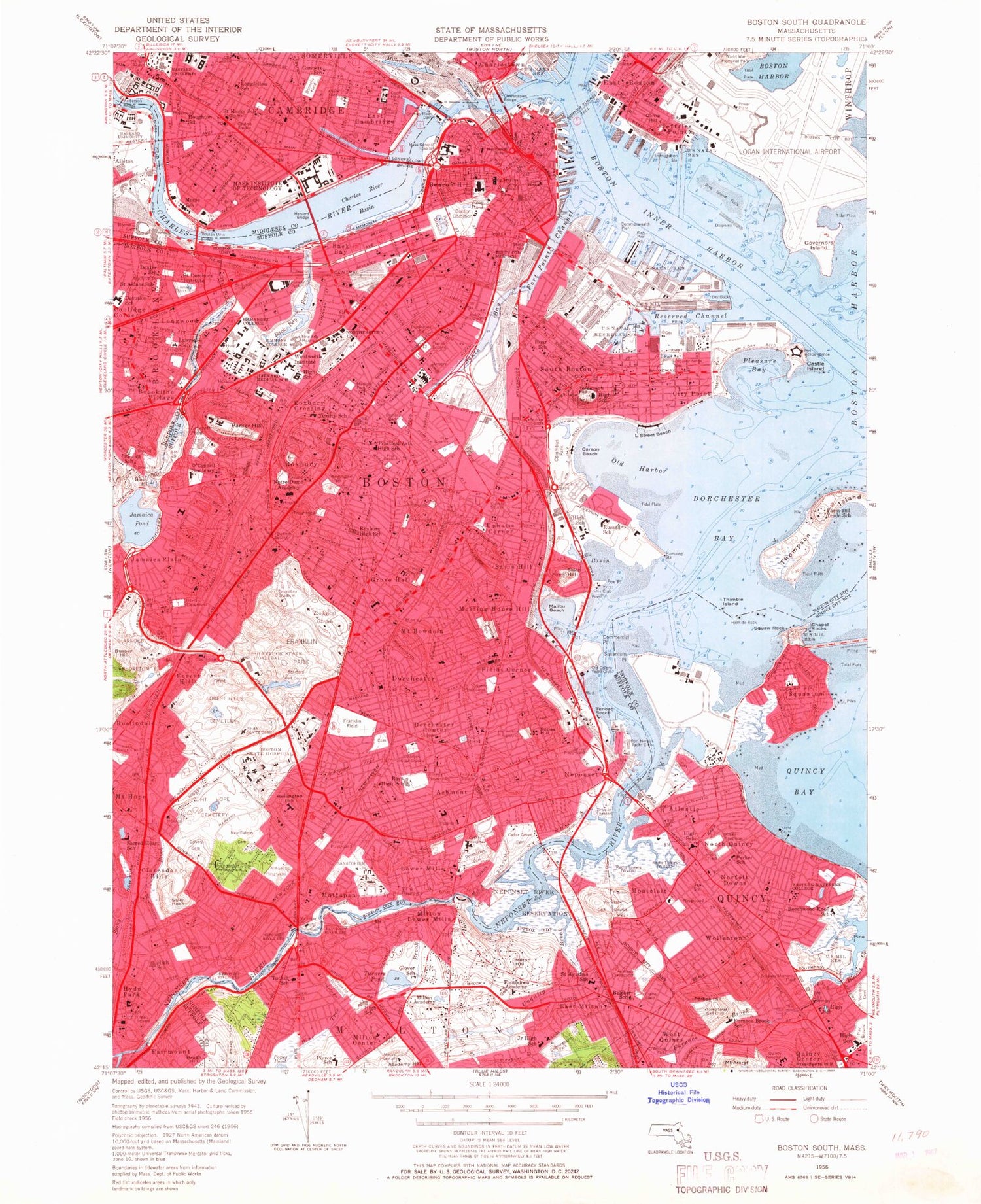
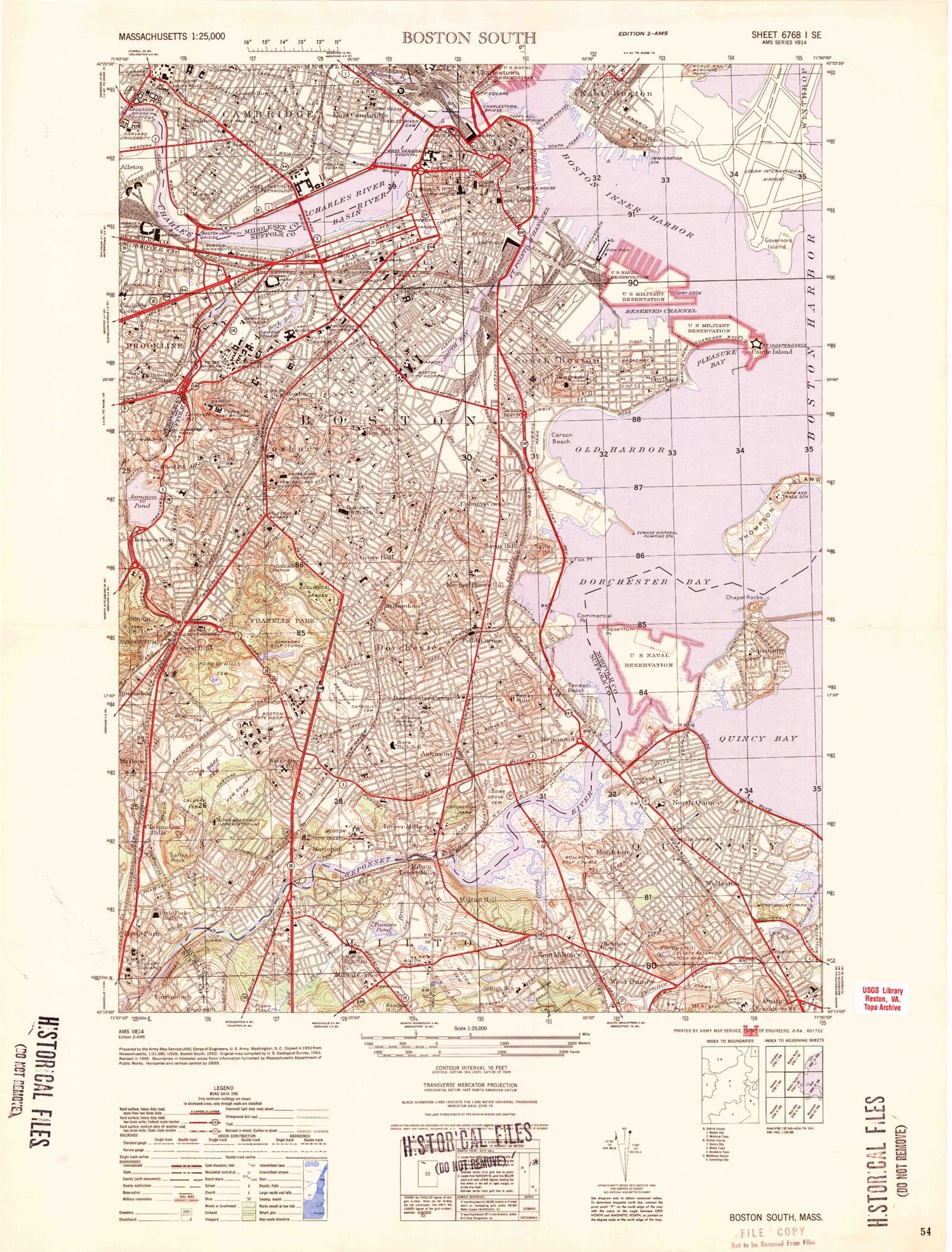
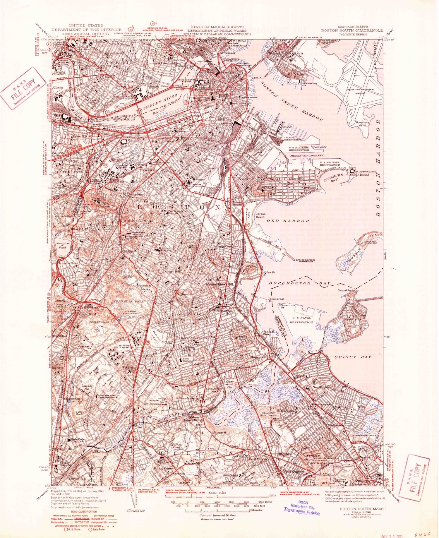
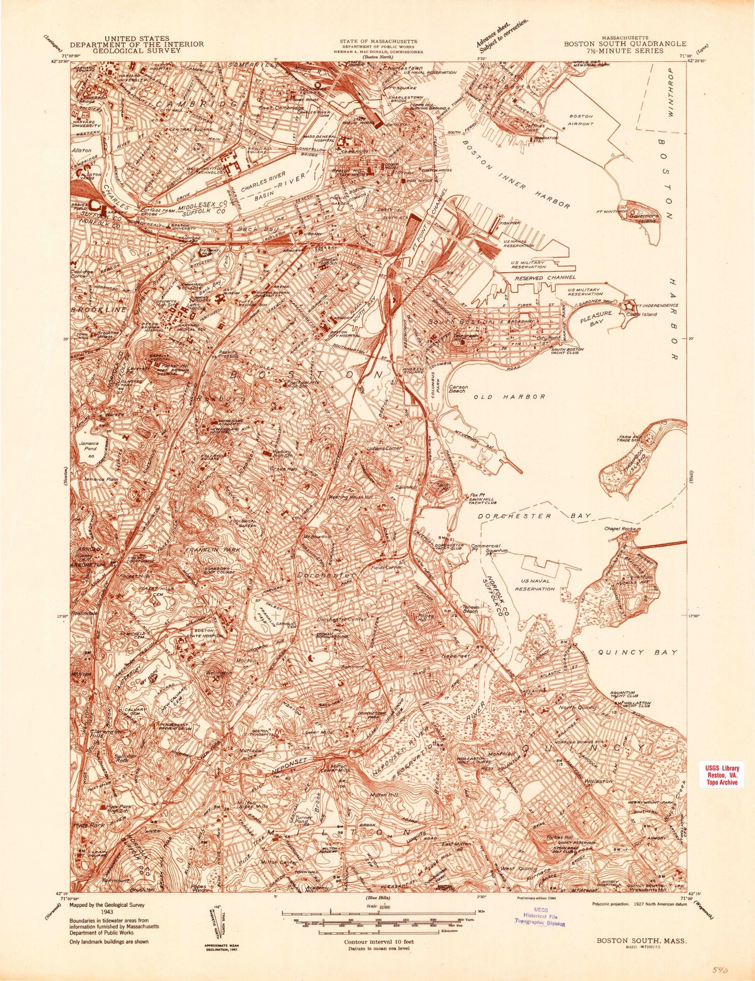
Historical USGS topographic quad map of Boston South in the state of Massachusetts. Typical map scale is 1:24,000, but may vary for certain years, if available. Print size: 24" x 27"
This quadrangle is in the following counties: Middlesex, Norfolk, Suffolk.
The map contains contour lines, roads, rivers, towns, and lakes. Printed on high-quality waterproof paper with UV fade-resistant inks, and shipped rolled.
Contains the following named places: Squaw Rock, Bunker Hill Community College, Devotion School, Lawrence School, Saint Dominics Institute, Robert F Kennedy School, Rindge School, Cambridge High School, Charles G Harrington Elementary School, Longfellow Elementary School, Martin Luther King School, J E Maynard School, Boston City Hall, Cambridge City Hall, Cambridge City Hall Annex, Brookline Field, Huntington Field, Hoyt Field, Copley Square, Park Square, Longwood Square, Amory Playground, Mason Square, Knyvet Square, Harvard Square, Sennott Park, Central Square, Bunker Hill Monument, Harvard Yard, Congress Street Bridge, Central Burying Ground, Trinty Church, Arlington Street Church, Saint Stephens Church, Old West Church, First Parish Church, John Fitzgerald Kennedy Federal Building, John Hancock Tower, Hatch Memorial Shell, Suffolk County Courthouse, Saltonstall State Office Building, Hayden Planetarium, Boston National Park Visitor Center, Constitution Museum, Massachusetts State Archives, Museum of Science, Childrens Museum, Massachusetts State Service Center, Boston Athenaeum, New England Aquarium, Boston Public Library, Harvard Coop, Hoosac Pier, Dry Dock Number One, Dry Dock Number Two, East Boston Pier Number One, Commonwealth Pier, Pier Number Four, Pier Number Two, Center Plaza, Sargents Wharf, Union Wharf, Battery Wharf, Constitution Wharf, South Market, North Market, Quincy Market, Fosters Wharf, Rowes Wharf, India Wharf, Central Wharf, Long Wharf, Lewis Wharf, Commercial Wharf, City Square, John Harvard Mall, Charlesbank Playground, Boston Garden, Paul Revere Mall, USS Cassin Young, Benjamin Franklin Statue, Boston Massacre Marker, Phillips Square, Church Green, Charles River Square, Thomas Park, Boston National Historical Park, Thompson Square, Benjamin Franklin Birthplace Site, Kennedy School of Government, Cambridge City Hospital, First Church of Boston, John Fitzgerald Kennedy Library, John Fitzgerald Kennedy Center, Boston Main Channel, Wollaston Channel, Logan Aero Light, Pleasure Bay Jetty Light, Manning School, Charles Sumner School, Chapet Station (historical), Longwood Station (historical), Brookline Station (historical), Atlantic Station (historical), Wollaston Heights Station (historical), Western Avenue Bridge, Cambridge Street Bridge, Beacon Trotting Park (historical), South Bay (historical), Cedar Grove Station (historical), Ashmont Station, Popes Hill Station, Bird Street Station (historical), Savin Hill Station, Crescent Avenue Station, South Boston Station (historical), Beacon Street Station (historical), Roxbury Station (historical), Heath Station (historical), Boylston Station, Jamaica Plain Station, Dudley Street Station (historical), Mount Bowdoin Station (historical), Harvard Street Station (historical), Forest Hills Station, Mattapan Station, Mount Hope Station (historical), Squantum Marshes, Blacks Creek Marshes, Neponset River Marshes, Stop amd Shop Center, Legion Shopping Center, Copley Place Shopping Center, Prudential Center Shopping Plaza, Charles River Plaza, Washington Park Shopping Mall, Neponset River Reservoir, Neponset River Dam Lower Mills, Neponset River Reservoir, Neponset River Dam Hyde Park, John Hancock Observatory, Prudential Center Skywalk, Josiah Quincy House Museum, Salt Marsh, Beacon Yards, Storrow Lagoon, Millers River Basin, Northern Avenue Bridge, Summer Street Bridge, Dorchester Yacht Club, James J Storrow Memorial Embankment, Brookline, Emerson College, Boston State College, Louisburg Square, Winthrop Square, Soldiers Monument, City Square, Church of the Covenant, First Baptist Church, First Unitarian Church, Old South Church, Trinity Church, Columbia Point, Downtown Crossing, North End, Boston Architectural Center, Christian Science Complex, Decorative Arts Building, Exeter Street Theatre, Gibson House Museum, Horticulture Hall, Institute of Contemporary Art, Symphony Hall, John B Hayes Auditorium, Charles Playhouse, Wilbur Theatre, Shubert Theatre, Wang Center, Savoy Theatre, Colonial Theatre, Next Move Theatre, Cabot House, Nichols House Museum, Quaker Meeting House, Bayside Exposition Center, Round Corner House, Savin Hill Yacht Club, Longwood Tennis Courts, Charles River Reservation, Brookline Municipal Court, Brookline Fire Department Station 5, Fire Department Station Number Two, Brookline Fire Department Station 1, Centre Street Parking Area, Webster Street Parking Area, School Street Parking Lot, Kent Station Parking Area, O'Shea House, Morse House, Sussman House, Longwood Towers, Amory Woods, Congregation Ohabei Shalom, NE Hebrew Academy, Olmstead Park, United Parish, Church of Christ, Devotion Playground, Devotion House, Young Israel of Brookline Incorporated, Brookline Branch Library, Temple Sinai, John Fitzgerald Kennedy National Historic Site, Longwood Playground, Parsons Field, Nickerson Field, Halls Pond, Hebrew Teachers College, Brookline Arts Center, Monmouth Park, Society of the Holy Transfiguration Monastery Incorporated, Soldiers Monument, Pierce Playground, Brookline Hospital (historical), Harry Downes Field, Charles S Pierce Middle School, Saint Marks Church (historical), Saint Marys Church of the Assumption, James J Lynch Recreation Center, Brookline Avenue Playground, Village Square, Baylston Playground, Emerson Garden, Greek Apostolic Church, Latvian Lutheran Exile Church
