MyTopo
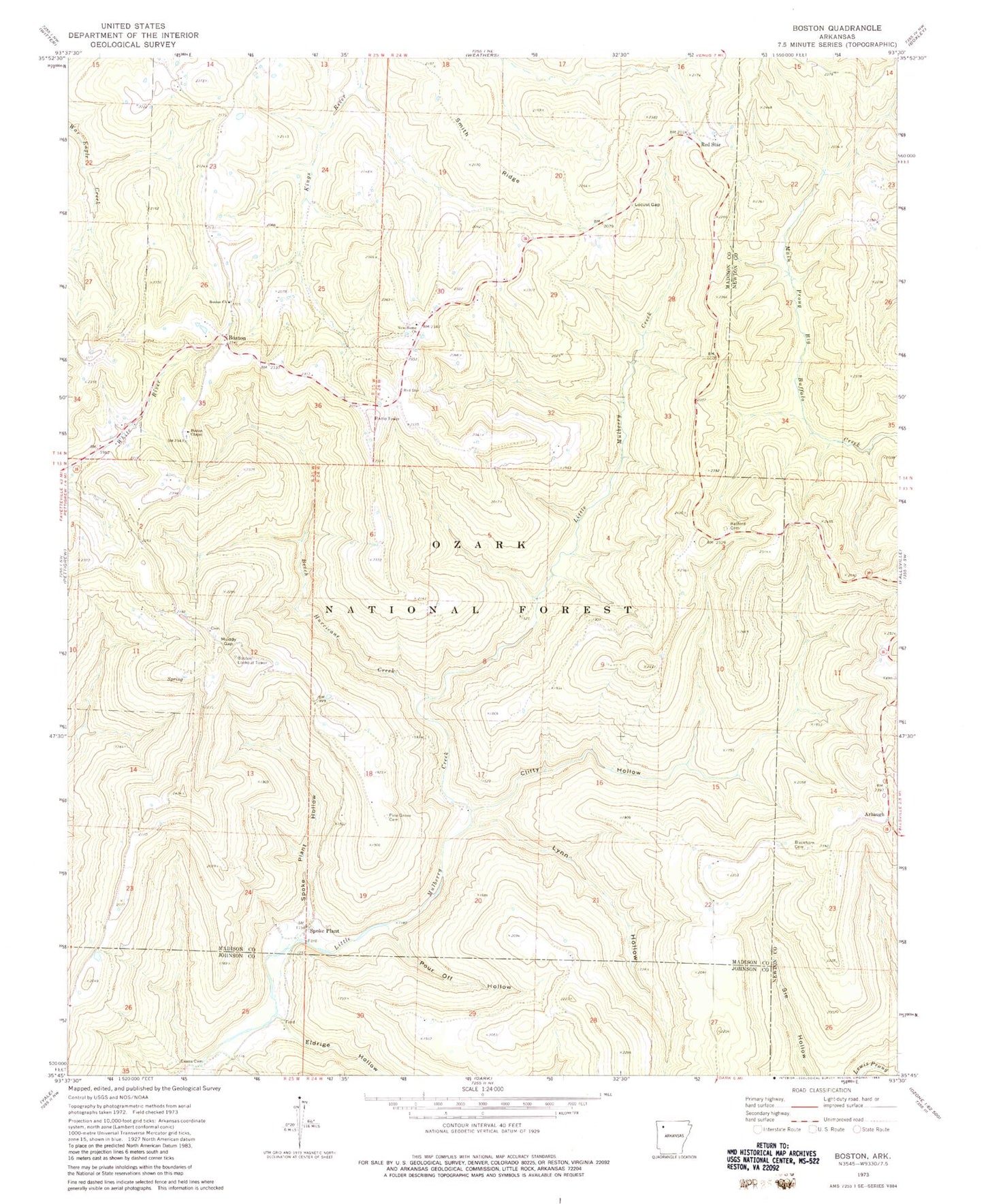
Classic USGS Boston Arkansas 7.5'x7.5' Topo Map
Couldn't load pickup availability
Historical USGS topographic quad map of Boston in the state of Arkansas. Typical map scale is 1:24,000, but may vary for certain years, if available. Print size: 24" x 27"
This quadrangle is in the following counties: Johnson, Madison, Newton.
The map contains contour lines, roads, rivers, towns, and lakes. Printed on high-quality waterproof paper with UV fade-resistant inks, and shipped rolled.
Contains the following named places: Township of Mulberry (historical), Township of Boston (historical), Arbaugh, Beech Hurricane Creek, Boston, Boston Chapel, Boston Church, Buckhorn Cemetery, Clifty Hollow, Eldrige Hollow, Evans Cemetery, Locust Gap, Lynn Hollow, Muddy Gap, New Home Church, Pine Grove Cemetery, Pour Off Hollow, Ratford Cemetery, Red Star, Smith Ridge, Spoke Plant, Spoke Plant Hollow, Boston Lookout Tower, Boston - Pettigrew Volunteer Fire Department


