MyTopo
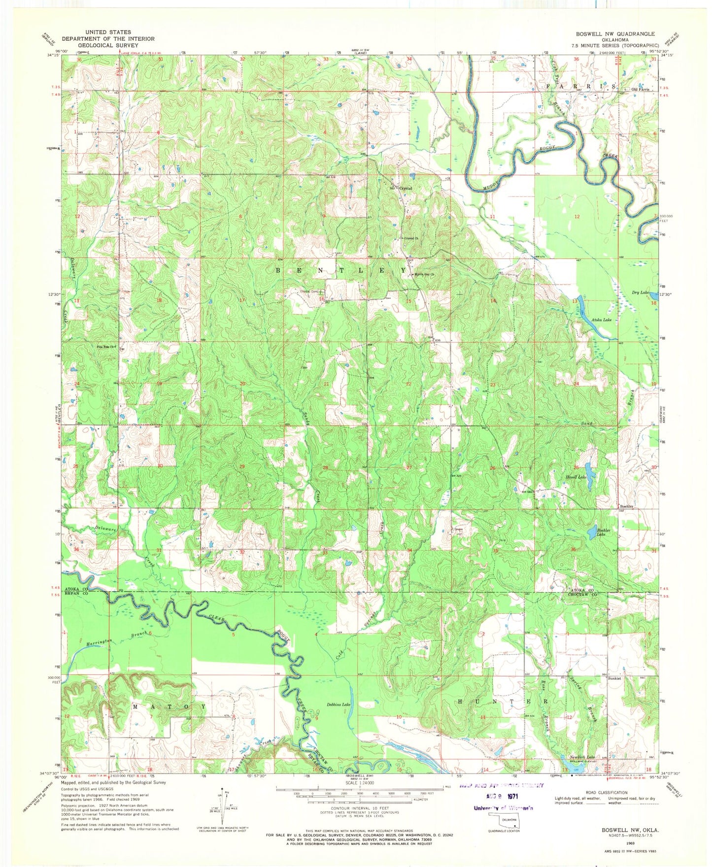
Classic USGS Boswell NW Oklahoma 7.5'x7.5' Topo Map
Couldn't load pickup availability
Historical USGS topographic quad map of Boswell NW in the state of Oklahoma. Map scale may vary for some years, but is generally around 1:24,000. Print size is approximately 24" x 27"
This quadrangle is in the following counties: Atoka, Bryan, Choctaw.
The map contains contour lines, roads, rivers, towns, and lakes. Printed on high-quality waterproof paper with UV fade-resistant inks, and shipped rolled.
Contains the following named places: Atoka Lake, Boehler, Boehler Lake, Crab Tree Branch, Crystal, Crystal Cemetery, Crystal Church, Crystal Volunteer Fire Department, Delaware Creek, Dobbins Lake, Farris Cemetery, Harrington Branch, Hasell Lake, Myrtle Day Church, Newkirk Lake, Oknoname 023002 Dam, Oknoname 023002 Reservoir, Old Farris, Pine Pole Church, Sandy Creek, Shawnee Creek, Spring Branch, Sunkist, ZIP Code: 74555