
MyTopo
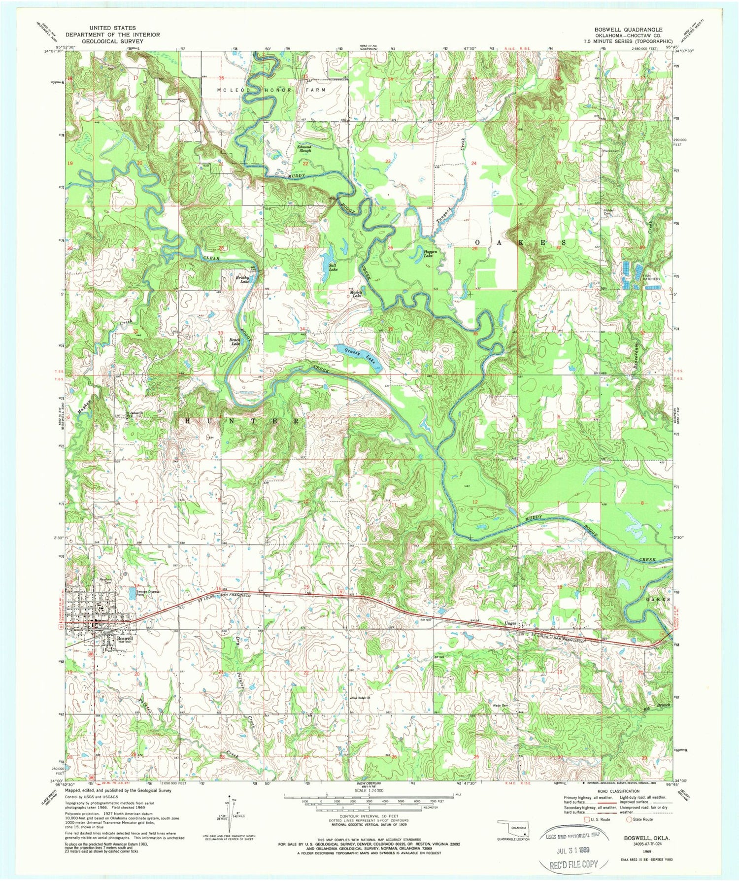
Classic USGS Boswell Oklahoma 7.5'x7.5' Topo Map
Couldn't load pickup availability
Historical USGS topographic quad map of Boswell in the state of Oklahoma. Map scale may vary for some years, but is generally around 1:24,000. Print size is approximately 24" x 27"
This quadrangle is in the following counties: Choctaw.
The map contains contour lines, roads, rivers, towns, and lakes. Printed on high-quality waterproof paper with UV fade-resistant inks, and shipped rolled.
Contains the following named places: Bench Lake, Boswell, Boswell Elementary School, Boswell High School, Boswell Junior High School, Boswell Police Department, Boswell Post Office, Boswell Volunteer Fire Department Station 1 Headquarters, Boswell Volunteer Fire Department Station 2, Brushy Lake, Clear Boggy Creek, Dry Pointer Creek, Edmond Slough, Grassy Lake, Hogpen Lake, Holder Cemetery, Mayhew Creek, Mosley Lake, Oak Ridge Church, Pierce Cemetery, Restland Cemetery, Saint James Church Number 2, Salt Lake, Tanyard Creek, Town of Boswell, Unger, Wade Cemetery, West Choctaw Division, ZIP Code: 74727


