MyTopo
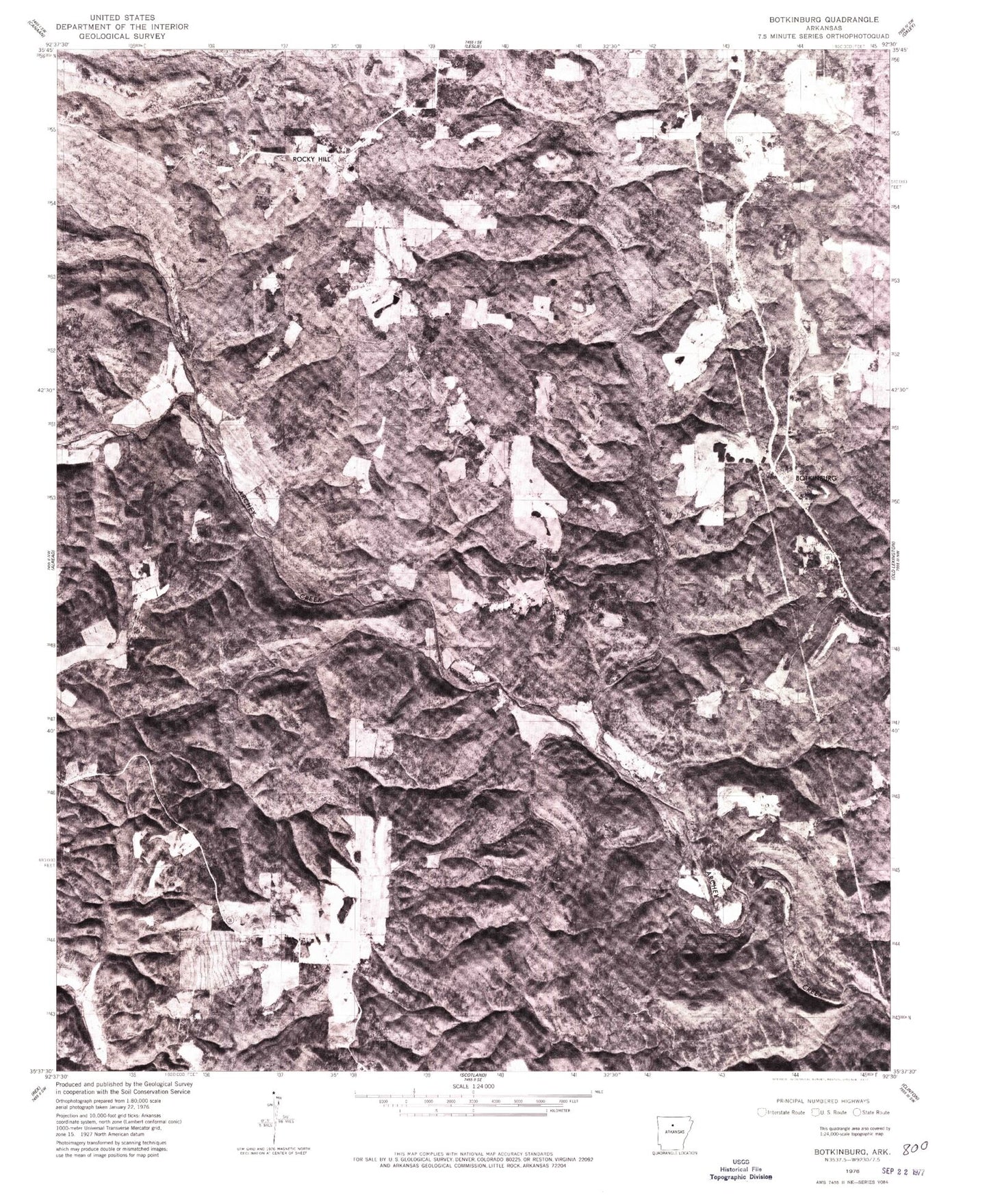
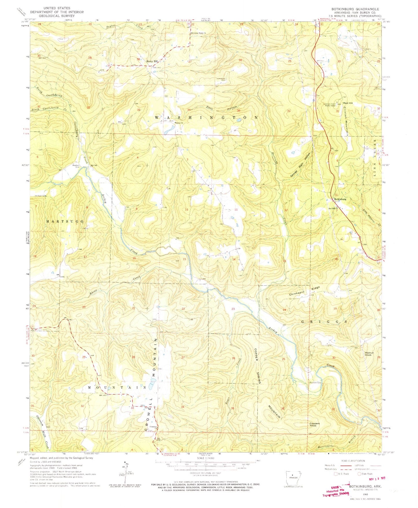
Classic USGS Botkinburg Arkansas 7.5'x7.5' Topo Map
Couldn't load pickup availability
Historical USGS topographic quad map of Botkinburg in the state of Arkansas. Map scale may vary for some years, but is generally around 1:24,000. Print size is approximately 24" x 27"
This quadrangle is in the following counties: Van Buren.
The map contains contour lines, roads, rivers, towns, and lakes. Printed on high-quality waterproof paper with UV fade-resistant inks, and shipped rolled.
Contains the following named places: Akins Creek, Alread - Community Volunteer Fire Department Station 2, Archey, Arnhart Cemetery, Bluffton Cemetery, Botkinburg, Boyce Creek, Castleberry Creek, Chinkapin Ridge, Copper Spring Mountain, Coppers Knob, Crabtree Church, Dennard Census Designated Place, Evening Shade Church, George Main Hollow, Hartsugg Creek, Hurricane Branch, Jackson Lake, Jackson Lake Dam, KHPQ-FM (Clinton), Lunceford Cemetery, North Castleberry Creek, Red Hill, Red Hill Church, Rocky Hill, Salem Cemetery, Salem Missionary Baptist Church, South Castleberry Creek, Township of Cleveland, Township of Mountain, Township of Washington, Walnut Knob, Woolum Cemetery, Zack Hollow, ZIP Codes: 72031, 72629


