MyTopo
Classic USGS Bottle Creek Ranch Nevada 7.5'x7.5' Topo Map
Couldn't load pickup availability
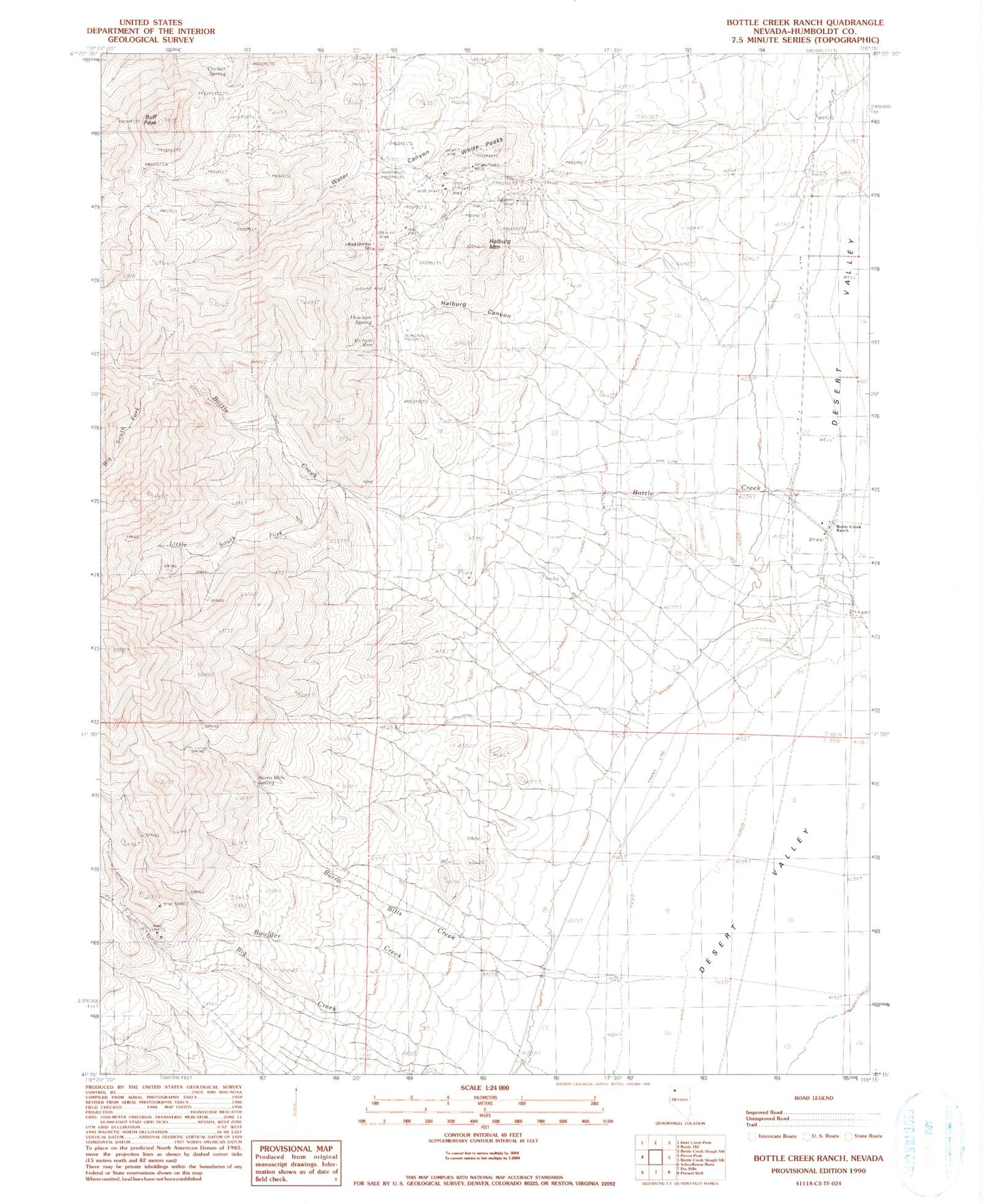
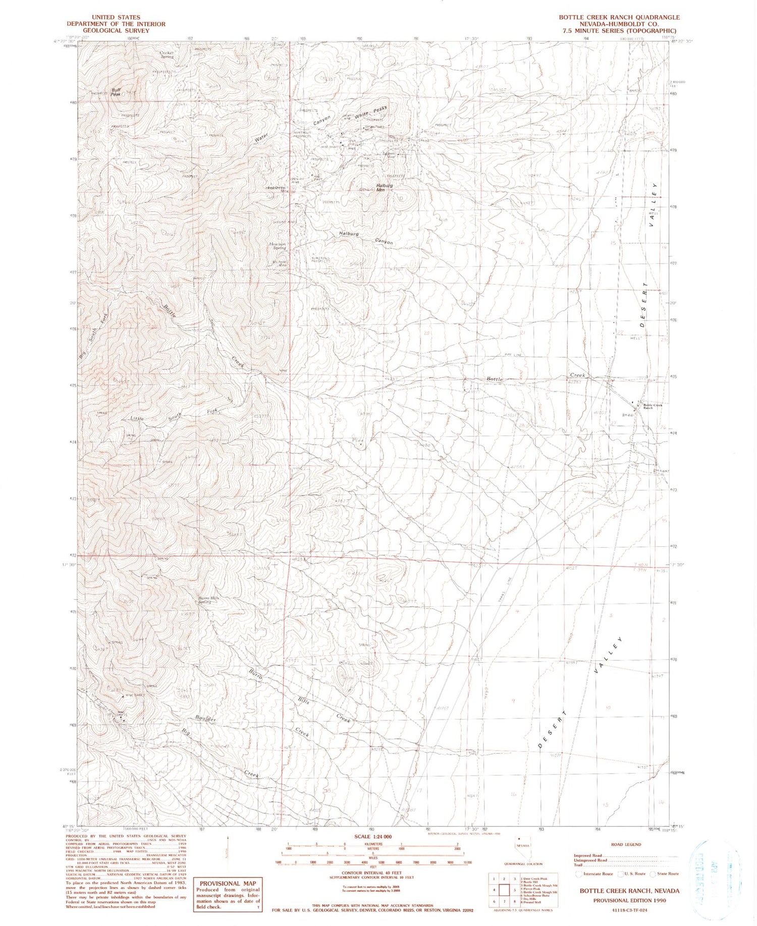
Historical USGS topographic quad map of Bottle Creek Ranch in the state of Nevada. Map scale may vary for some years, but is generally around 1:24,000. Print size is approximately 24" x 27"
This quadrangle is in the following counties: Humboldt.
The map contains contour lines, roads, rivers, towns, and lakes. Printed on high-quality waterproof paper with UV fade-resistant inks, and shipped rolled.
Contains the following named places: Baldwin Mine, Big South Fork Bottle Creek, Birthday Mine, Blue Can Mine, Bottle Creek Mining District, Bottle Creek Ranch, Buff Peak, Burro Bills Canyon, Burro Bills Creek, Burro Bills Spring, Cricket Spring, Halburg Canyon, Halburg Mountain, Howison Spring, Jackson Mountain Elementary School, Little South Fork Bottle Creek, McAdoo Mine, Red Ore 1 Mine, Water Canyon, White Peaks, White Peaks Mine