MyTopo
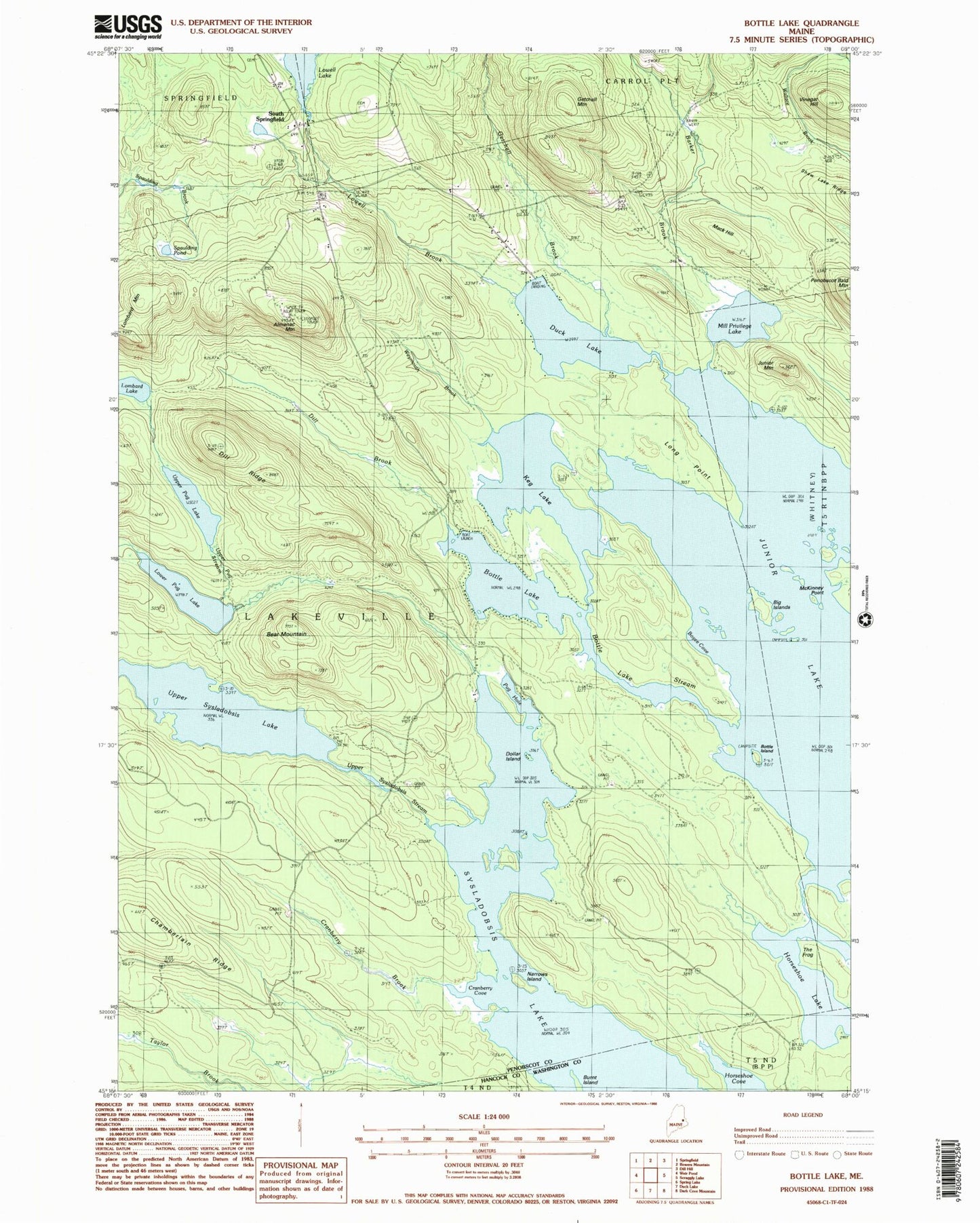
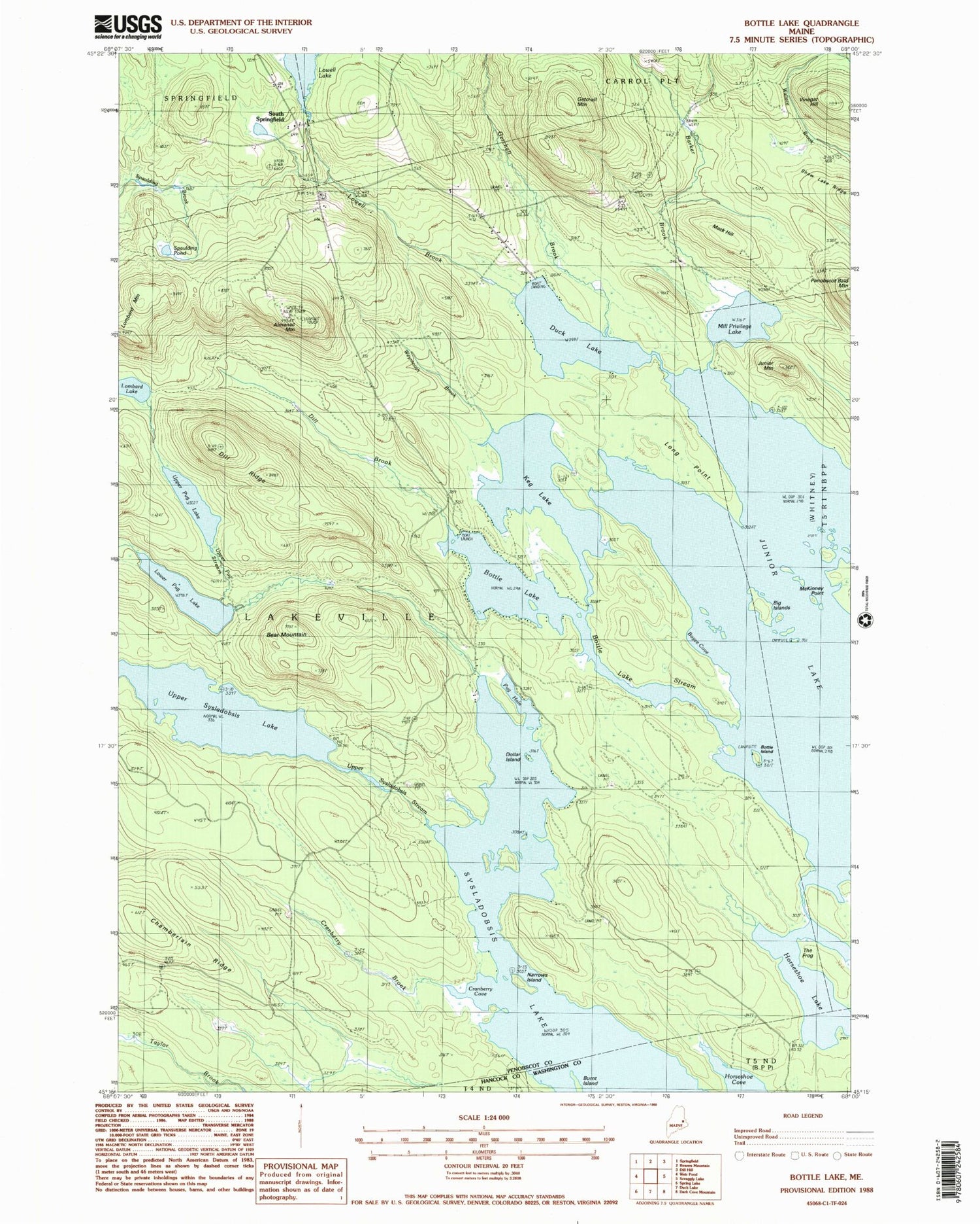
Classic USGS Bottle Lake Maine 7.5'x7.5' Topo Map
Couldn't load pickup availability
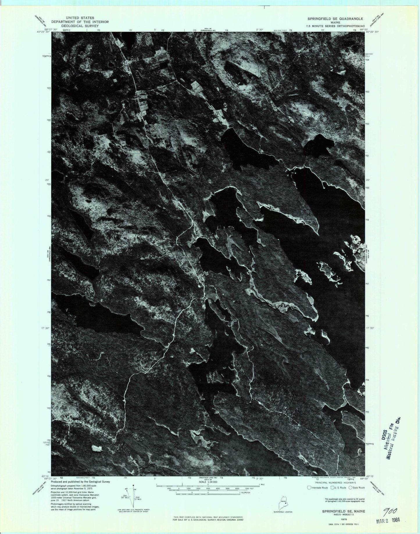
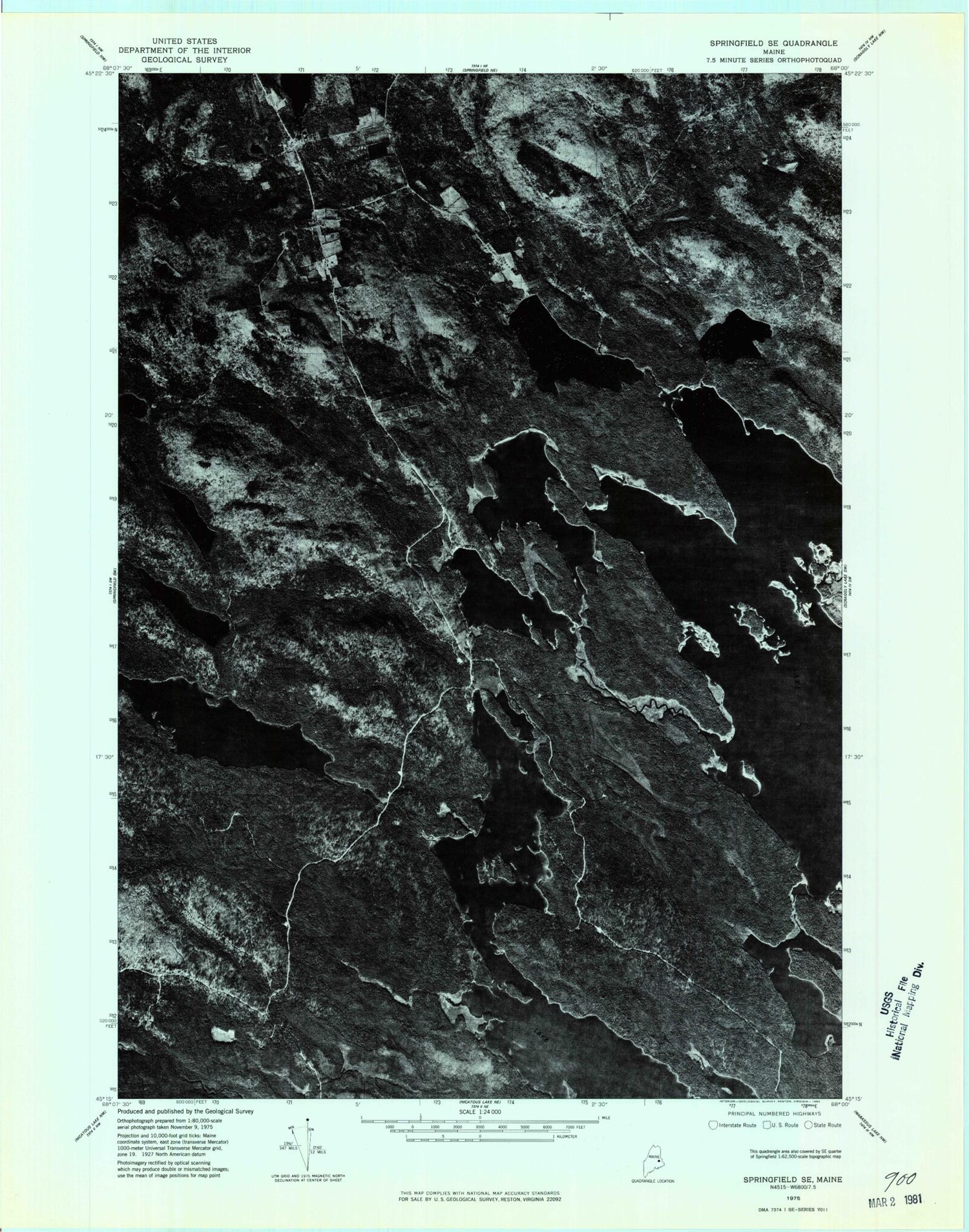
Historical USGS topographic quad map of Bottle Lake in the state of Maine. Typical map scale is 1:24,000, but may vary for certain years, if available. Print size: 24" x 27"
This quadrangle is in the following counties: Hancock, Penobscot, Washington.
The map contains contour lines, roads, rivers, towns, and lakes. Printed on high-quality waterproof paper with UV fade-resistant inks, and shipped rolled.
Contains the following named places: Almanac Mountain, Barker Brook, Bayview Camp (historical), Bear Mountain, Big Islands, Bottle Island, Bottle Lake, Bottle Lake Stream, Boyce Cove, Burnt Island, Chamberlain Ridge, Cranberry Brook, Cranberry Cove, Dill Brook, Dill Ridge, Dollar Island, Duck Lake, Getchell Brook, Getchell Mountain, Gowell School, Horseshoe Lake, Junior Lake, Junior Mountain, Keg Lake, Lombard Mountain, Long Point, Lowell Brook, Lower Pug Lake, Mack Hill, McKinney Point, McKinney School, Mill Privilege Lake, Narrows Island, Philip School, Pug Hole, South Springfield, Spaulding Pond, The Frog, Upper Pug Lake, Upper Pug Stream, Upper Sysladobsis Stream, Weymouth Brook, Town of Lakeville, Lowell Dam, Lowell Lake, Almanac Mountain Lookout Tower, Thompson Island


