MyTopo
Classic USGS Bottom North Carolina 7.5'x7.5' Topo Map
Couldn't load pickup availability
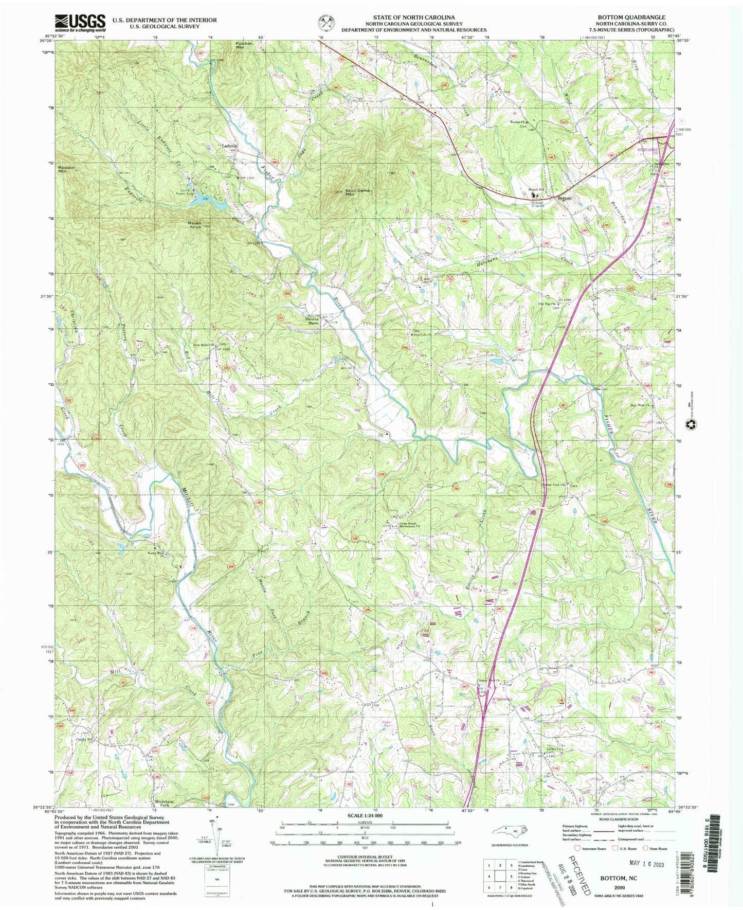
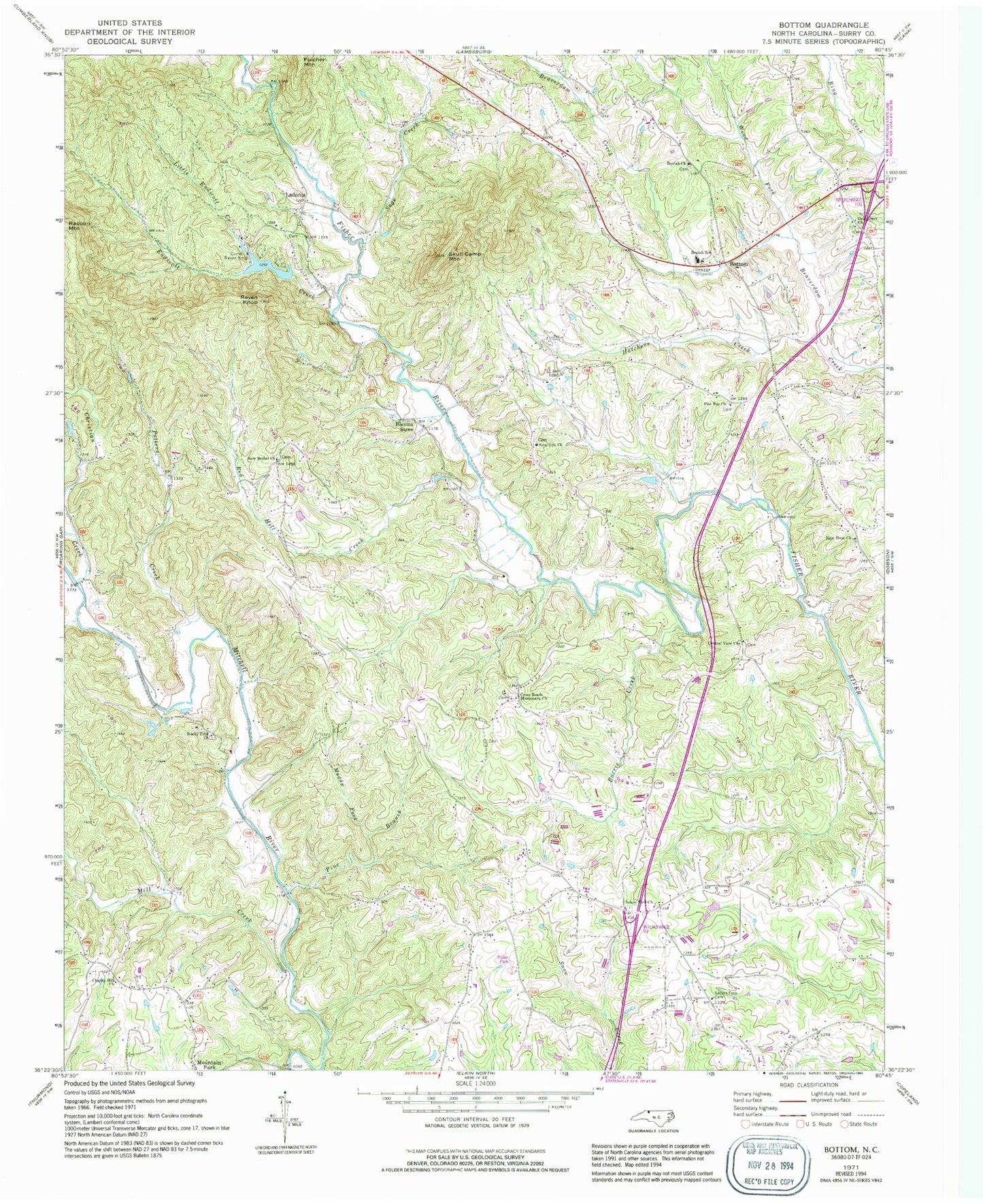
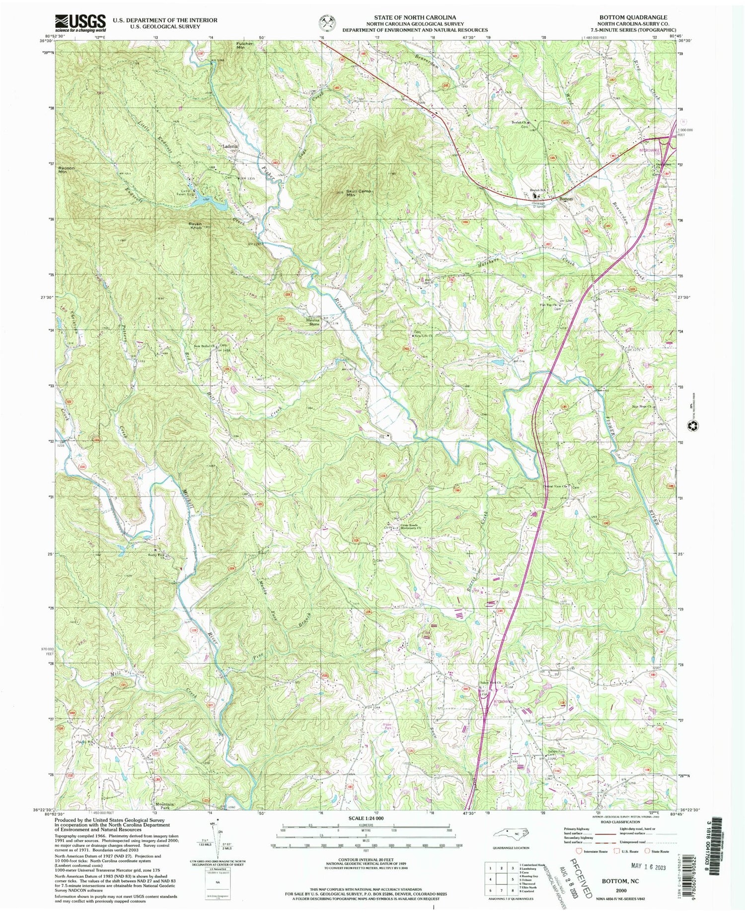
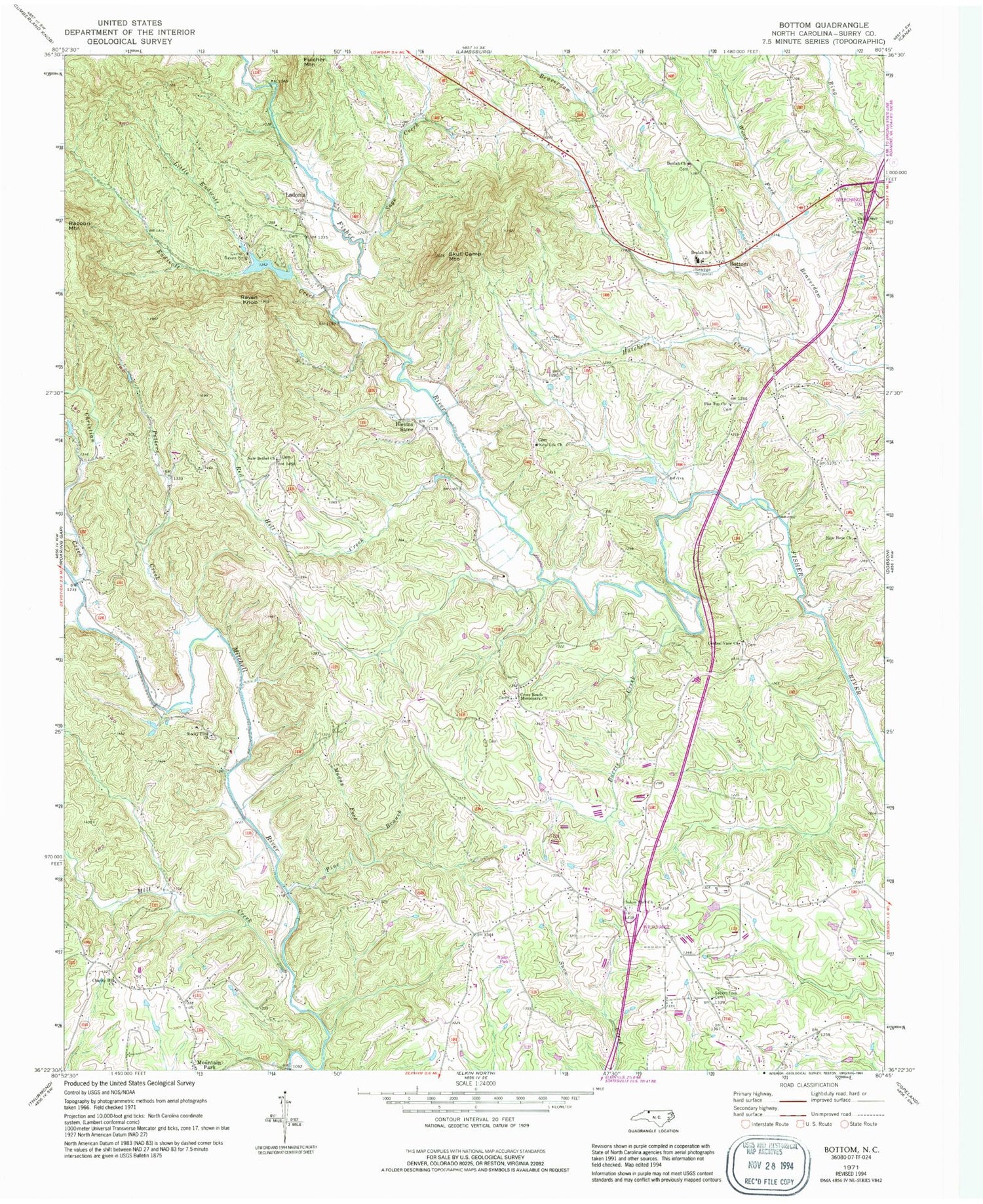
Historical USGS topographic quad map of Bottom in the state of North Carolina. Typical map scale is 1:24,000, but may vary for certain years, if available. Print size: 24" x 27"
This quadrangle is in the following counties: Surry.
The map contains contour lines, roads, rivers, towns, and lakes. Printed on high-quality waterproof paper with UV fade-resistant inks, and shipped rolled.
Contains the following named places: Beulah Methodist Church, Blevins Store, Burris Creek, Camp Raven Knob, Central View Church, Charity Hill Church, Christian Creek, Cross Roads Baptist Church, Endicott Creek, Flat Top Primitive Baptist Church, Hatchers Creek, Little Endicott Creek, Mill Creek, Muddy Fork, New Bethel Baptist Church, New Hope Church, New Life Baptist Church, Oak Grove Baptist Church, Pine Branch, Potters Creek, Raven Knob, Red Hill Creek, Rocky Ford Missionary Baptist Church, Sage Creek, Salem Fork Cemetery, Salem Fork Baptist Church, Skull Camp Mountain, Wood Fork, Chryson Lake Dam, Chryson Lake, Raven Knob Park Lake Dam, Raven Knob Park Lake, Jadesville (historical), Kapps Mill, Rusk (historical), Warrior Mountain, Ladonia, Beulah, Beulah Elementary School, Township of Franklin, Beulah Cemetery, Bryan School (historical), Flat Branch, Flattop Cemetery, Ladonia Baptist Church, Little Vine Church (historical), McMickle School (historical), Mitchell River Baptist Church (historical), Mountain Park Cemetery, Oak Grove, Rocky Ford Cemetery, Salemfork, Skull Camp Fire and Rescue Department, Central Surry Volunteer Fire Department, Round Peak Tree Farm, Bottom Post Office (historical), Holy Cross Missionary Baptist Church


