MyTopo
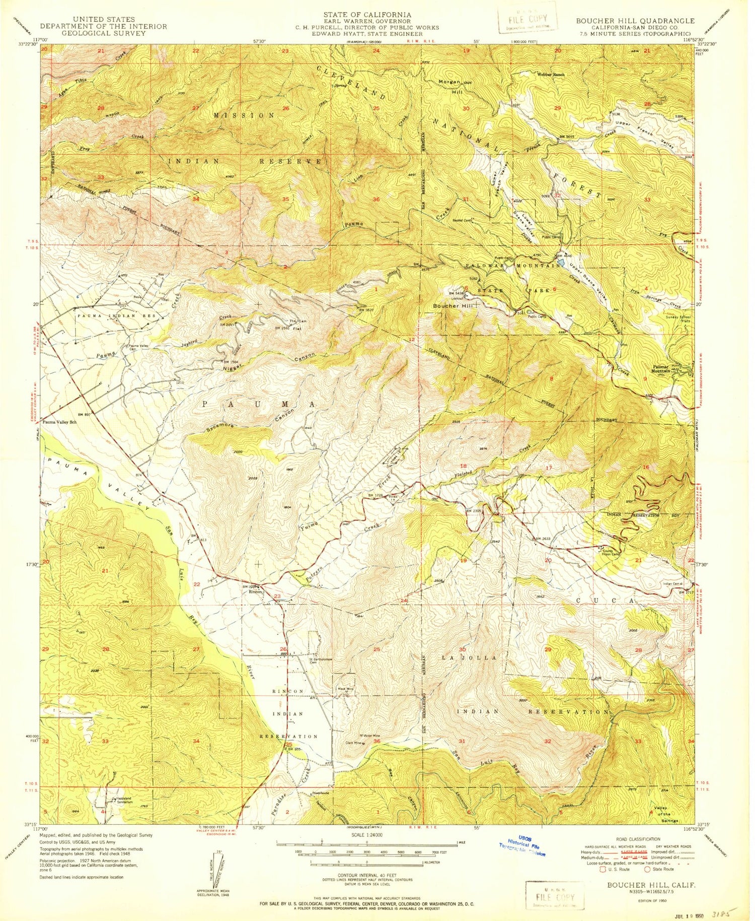
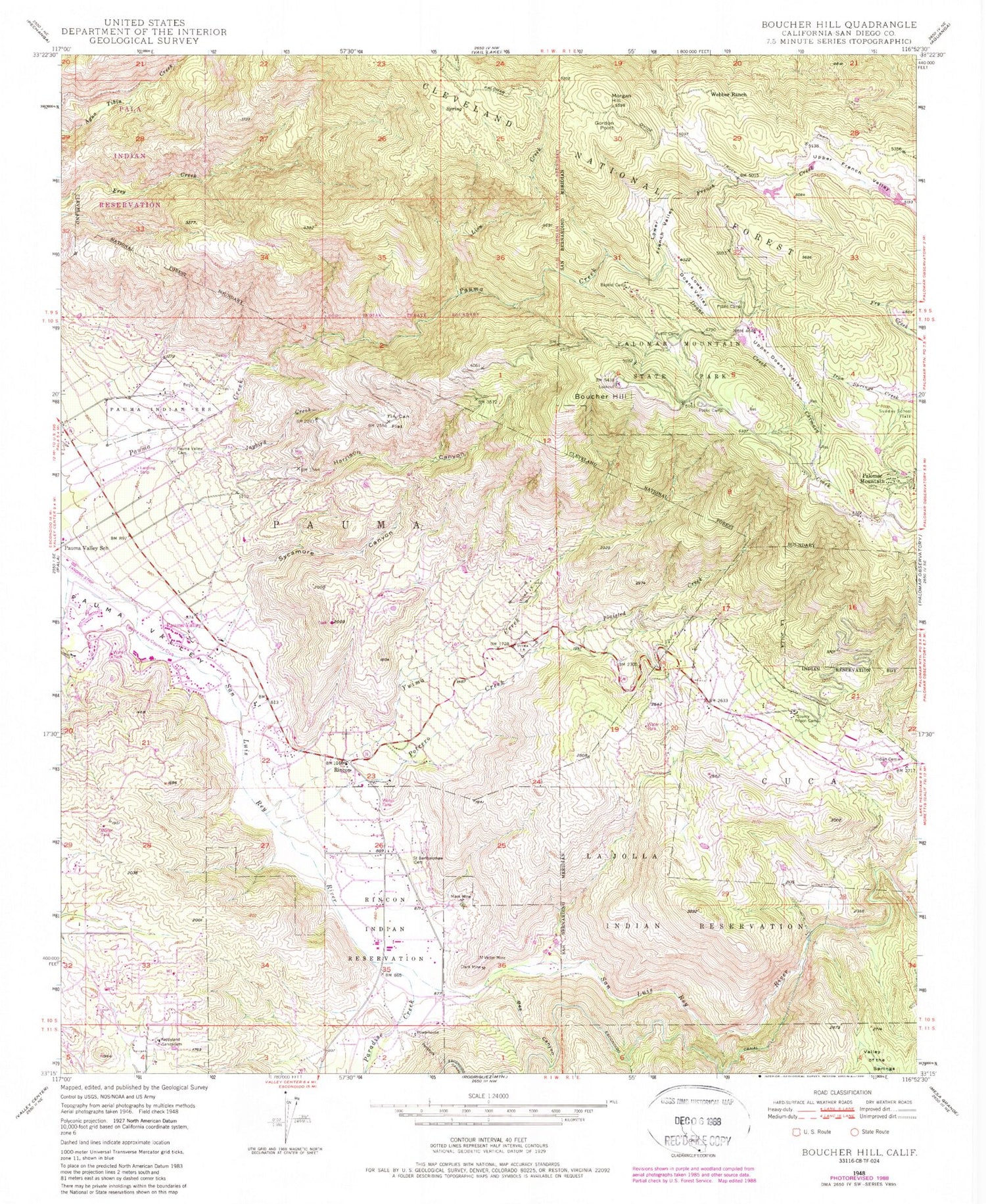
Classic USGS Boucher Hill California 7.5'x7.5' Topo Map
Couldn't load pickup availability
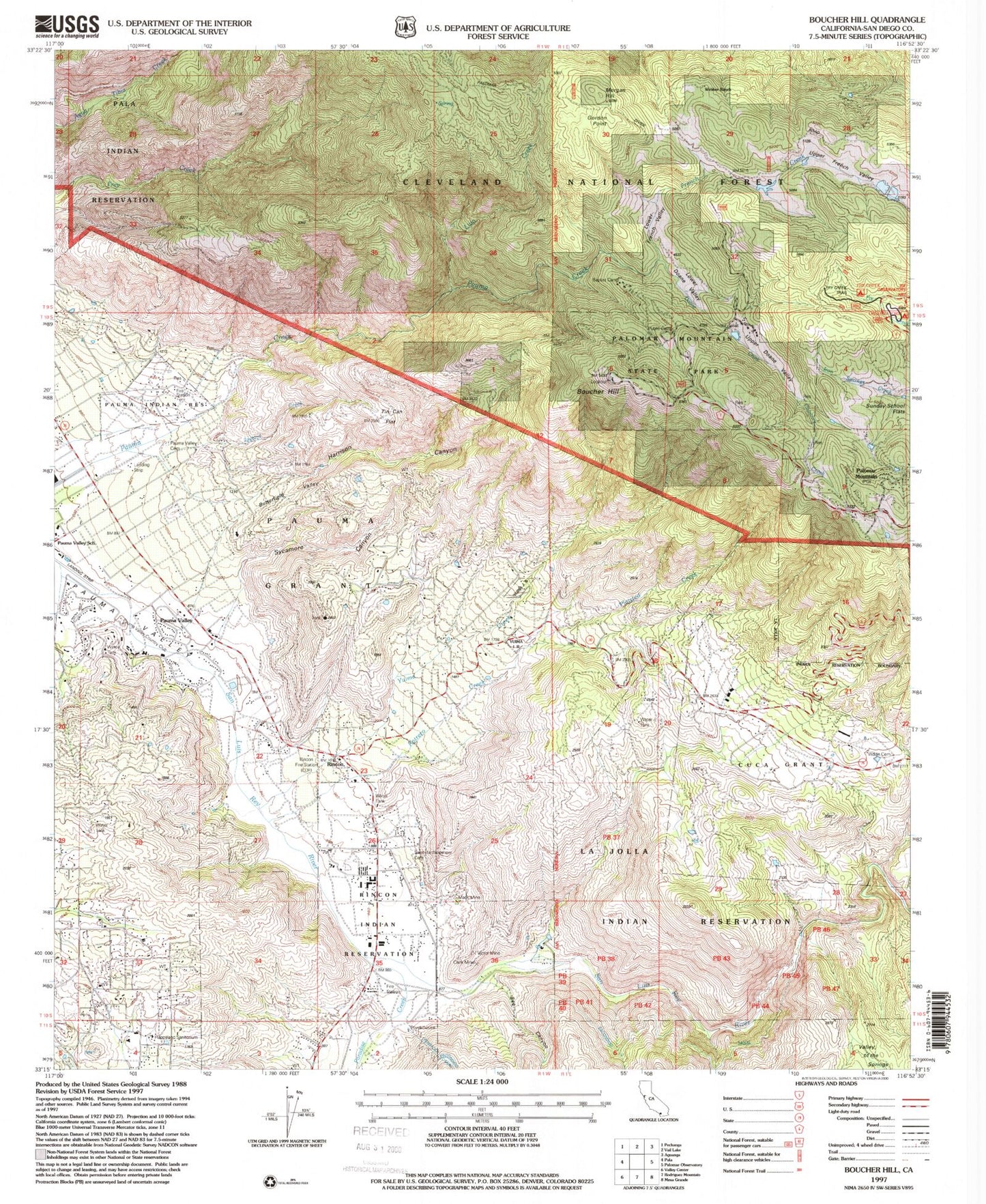
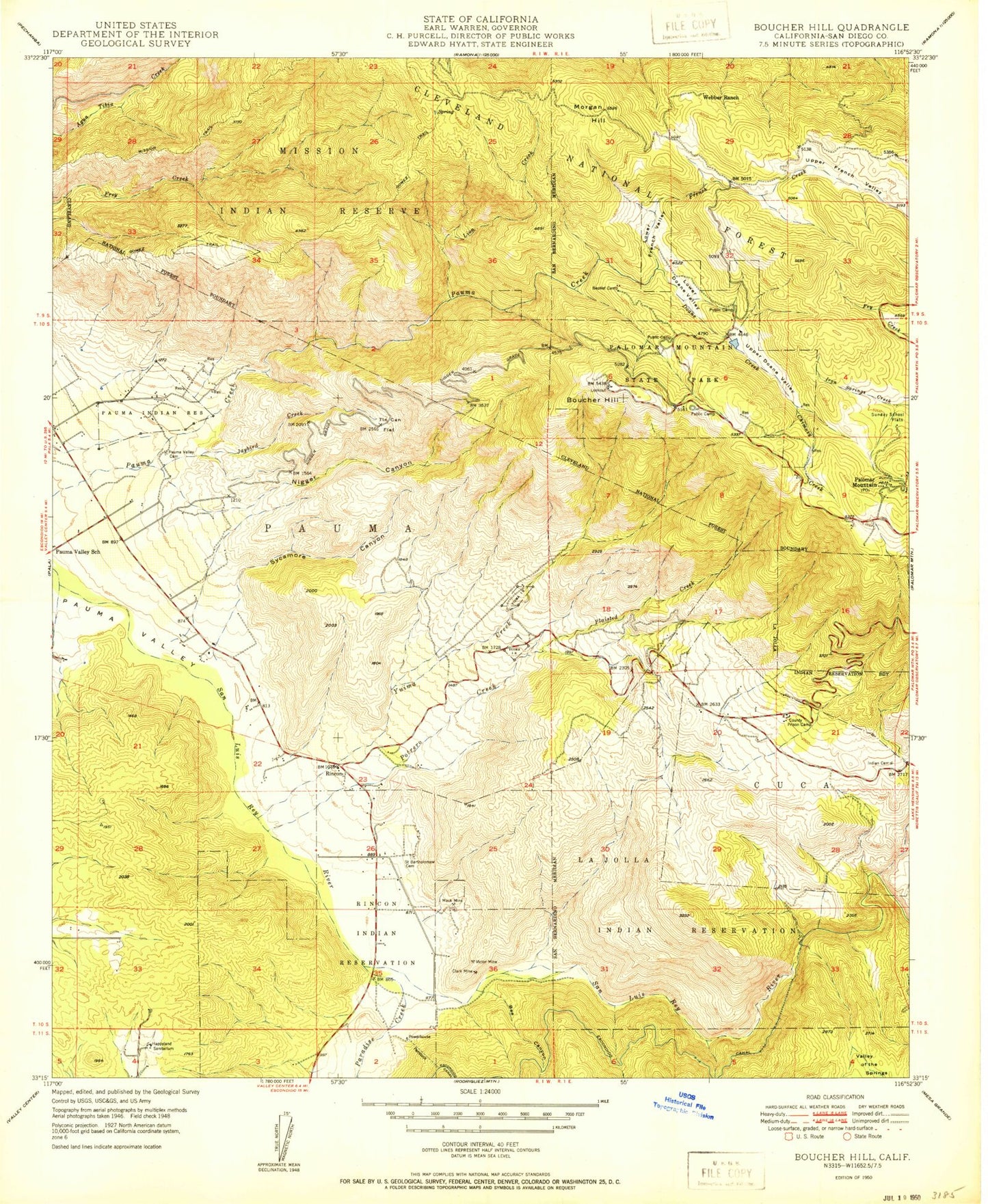
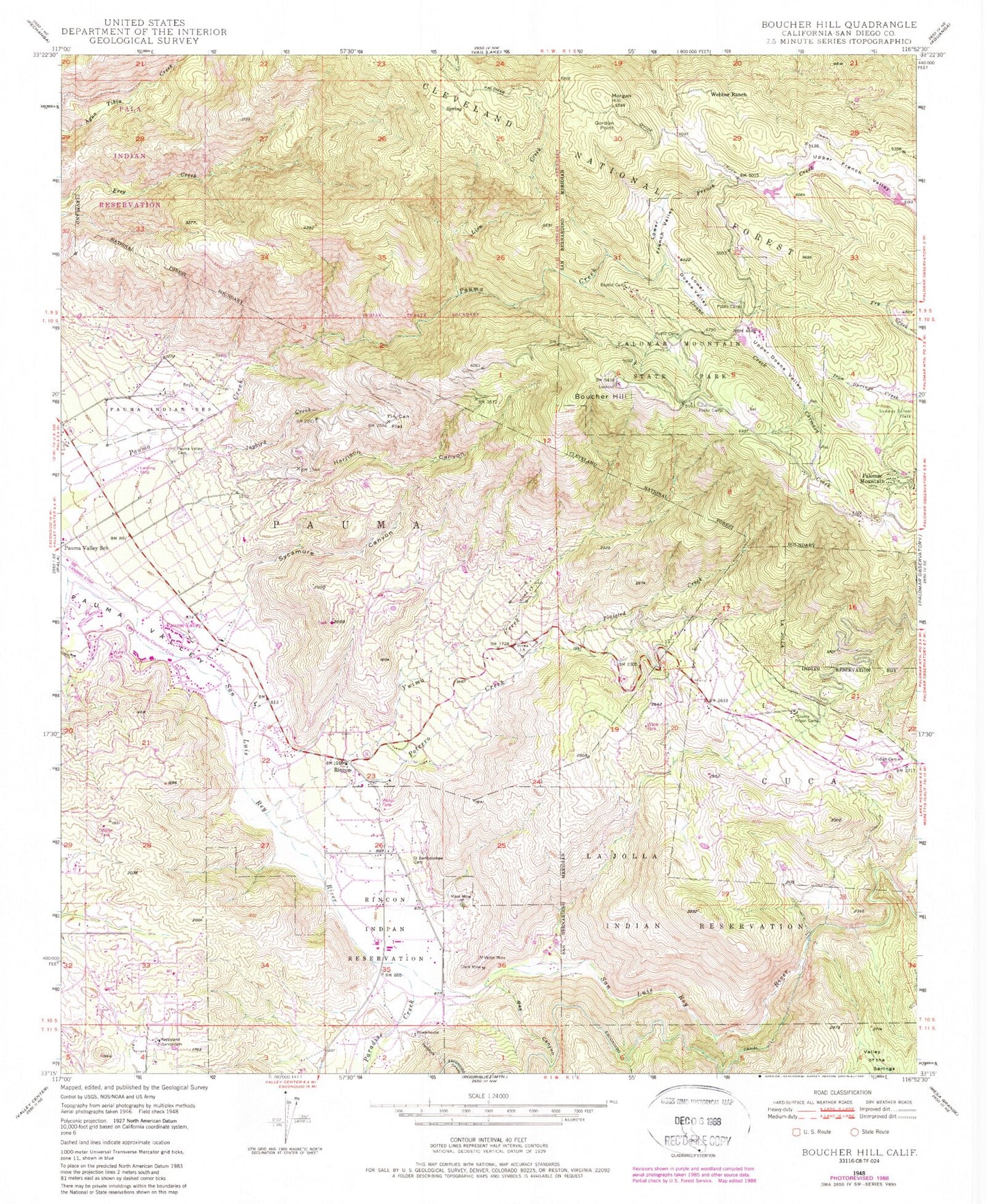
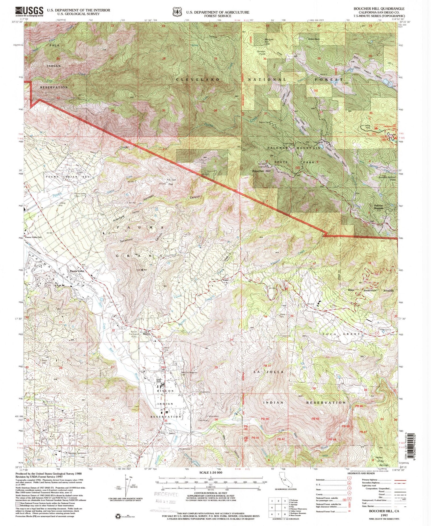
Historical USGS topographic quad map of Boucher Hill in the state of California. Typical map scale is 1:24,000, but may vary for certain years, if available. Print size: 24" x 27"
This quadrangle is in the following counties: San Diego.
The map contains contour lines, roads, rivers, towns, and lakes. Printed on high-quality waterproof paper with UV fade-resistant inks, and shipped rolled.
Contains the following named places: Harrison Canyon, Baptist Camp, Bee Canyon, Boucher Hill, Clark Mine, Cuca, Doane Creek, French Creek, Gomez Trail, Gordon Point, Horsethief Canyon, Jaybird Creek, La Jolla Reservation, Lion Creek, Lower Doane Valley, Lower French Valley, Mack Mine, Mission Trail, Palomar Mountain, Palomar Mountain State Park, Paradise Creek, Pauma, Pauma and Yuima Reservation, Pauma Indian Cemetery, Plaisted Creek, Potrero Creek, Rincon, Rincon Reservation, Saint Bartholomew Cemetery, Sunday School Flats, Sycamore Canyon, Tin Can Flat, Upper Doane Valley, Upper French Valley, Valley of the Springs, Victor Mine, Webber Ranch, Yuima Creek, Yuima Reservation (historical), Doane Valley, Fry Creek Trail, Fry Creek Campground, Oak Knoll Campground, Lyall Airport, Pauma Valley Country Club, Happyland Sanitarium, Morgan Hill, Pauma Valley, Friendly Ranch (historical), Potrero Indian Cemetery, Boucher Lookout, Boucher Trail, Chimney Flats, Lone Fir Point, Pauma Mission, Pauma Valley Post Office, Adams Trail, Baptist Trail, Cedar Grove Campground, Cedar Trail, Doane Pond, Doane Valley Campground, Doane Valley Natural Preserve, Doane Valley Nature Trail, Doane Valley Reservoir, French Valley Trail, Lower Doane Trail, Palomar Mountain State Park Headquarters, School Camp, Scotts Cabin Trail, Silver Creek Picnic Area, Thunder Spring Trail, Upper Doane Valley Trail, Weir Trail, La Jolla Indian Reservation Volunteer Fire Department, Observatory Campground, Cal Fire Rincon Fire Station 70, Pauma Reservation Fire Station 69, Doane Valley Natural Preserve, Saint Francis Episcopal Church Memorial Garden, Harrison Canyon, Baptist Camp, Bee Canyon, Boucher Hill, Clark Mine, Cuca, Doane Creek, French Creek, Gomez Trail, Gordon Point, Horsethief Canyon, Jaybird Creek, La Jolla Reservation, Lion Creek, Lower Doane Valley, Lower French Valley, Mack Mine, Mission Trail, Palomar Mountain, Palomar Mountain State Park, Paradise Creek, Pauma, Pauma and Yuima Reservation, Pauma Indian Cemetery, Plaisted Creek, Potrero Creek, Rincon, Rincon Reservation, Saint Bartholomew Cemetery, Sunday School Flats, Sycamore Canyon, Tin Can Flat, Upper Doane Valley, Upper French Valley, Valley of the Springs, Victor Mine, Webber Ranch, Yuima Creek, Yuima Reservation (historical), Doane Valley, Fry Creek Trail, Fry Creek Campground, Oak Knoll Campground, Lyall Airport, Pauma Valley Country Club, Happyland Sanitarium, Morgan Hill, Pauma Valley, Friendly Ranch (historical), Potrero Indian Cemetery, Boucher Lookout, Boucher Trail, Chimney Flats, Lone Fir Point, Pauma Mission, Pauma Valley Post Office, Adams Trail, Baptist Trail, Cedar Grove Campground, Cedar Trail, Doane Pond, Doane Valley Campground, Doane Valley Natural Preserve, Doane Valley Nature Trail, Doane Valley Reservoir, French Valley Trail, Lower Doane Trail, Palomar Mountain State Park Headquarters, School Camp, Scotts Cabin Trail, Silver Creek Picnic Area, Thunder Spring Trail, Upper Doane Valley Trail, Weir Trail, La Jolla Indian Reservation Volunteer Fire Department, Observatory Campground, Cal Fire Rincon Fire Station 70, Pauma Reservation Fire Station 69, Doane Valley Natural Preserve, Saint Francis Episcopal Church Memorial Garden
