
MyTopo
Classic USGS Boudreaux Lake Louisiana 7.5'x7.5' Topo Map
Regular price
$16.95
Regular price
Sale price
$16.95
Unit price
per
Couldn't load pickup availability
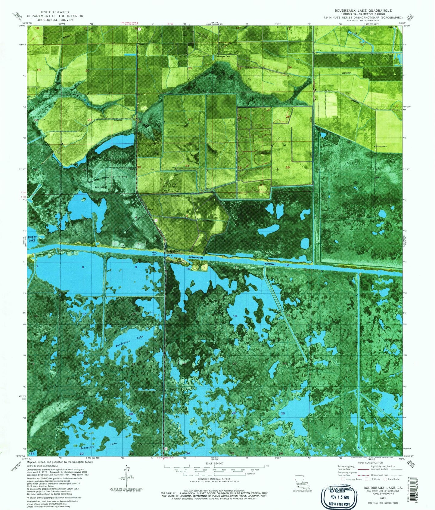
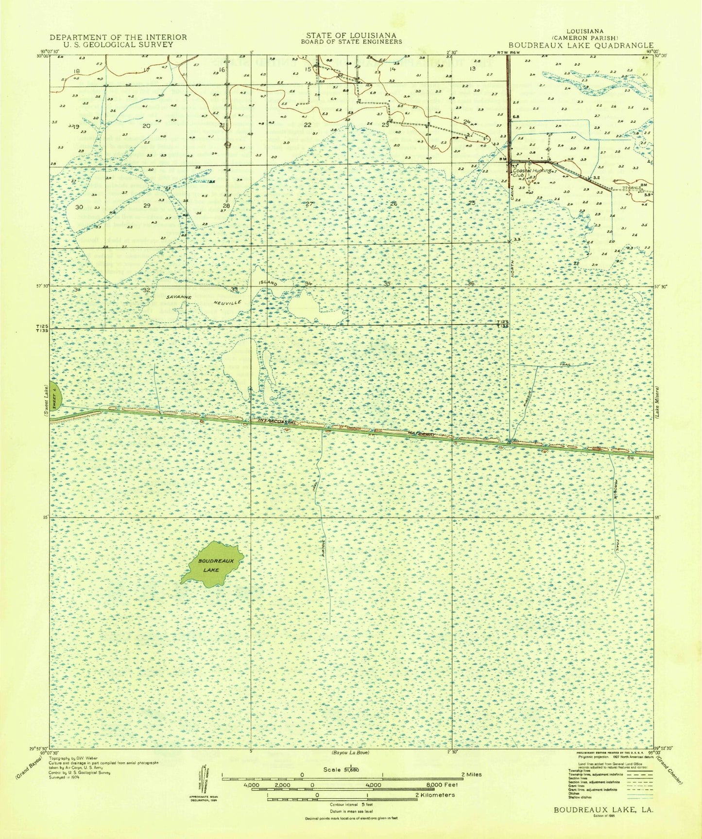
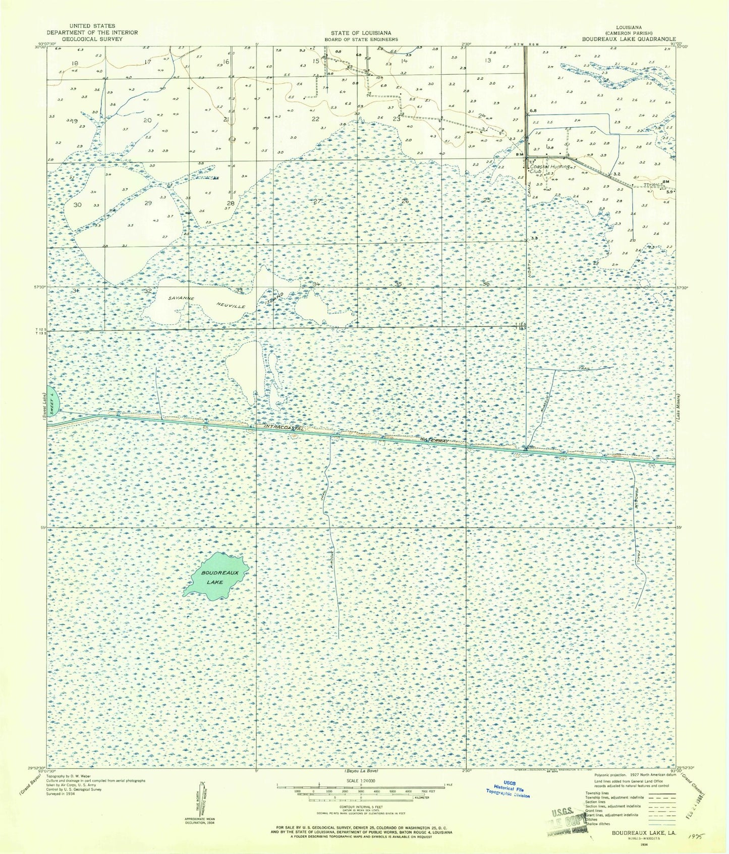
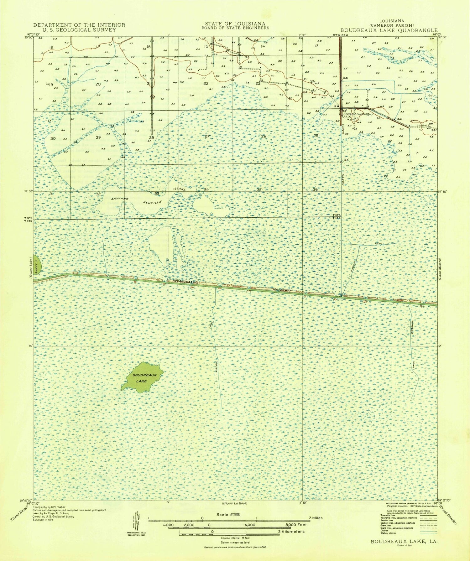
Historical USGS topographic quad map of Boudreaux Lake in the state of Louisiana. Map scale may vary for some years, but is generally around 1:24,000. Print size is approximately 24" x 27"
This quadrangle is in the following counties: Cameron.
The map contains contour lines, roads, rivers, towns, and lakes. Printed on high-quality waterproof paper with UV fade-resistant inks, and shipped rolled.
Contains the following named places: Boudreaux Lake, Coastal Hunting Club, Gibbstown, Granger Cemetery, North Canal, Parish Governing Authority District 3, Pirogue Trail, Savanne Neuville Island